The table below lists flat maps of Essex in approximately chronological order; these are taken from Atlases, or in a few cases were published as maps of Essex alone. There is a link from each entry to a large picture.
There are no links to reference books on this page, as there are no reference books that I've seen to help.
The dimensions against each map are Height x Width, and as Essex is a little wider than it is tall the width is usually greater - assuming the map has north at the top. The measurements are of the outermost neat line of the map (not the size of the sheet of paper).
| Thumbnail maps |
Mapmakers, their Atlases and Maps |
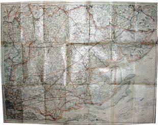 |
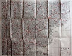
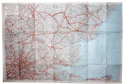
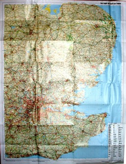
GF Cruchley
Gall & Inglis' County Maps of England
1928 478mm x 612mm
The cover changes, but the map lives on. |
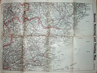 |
Dunlop
Touring Maps of Great Britain & Ireland
1928 346mm x 467mm
Dunlop uses W & AK Johnston Quarter Inch map. |
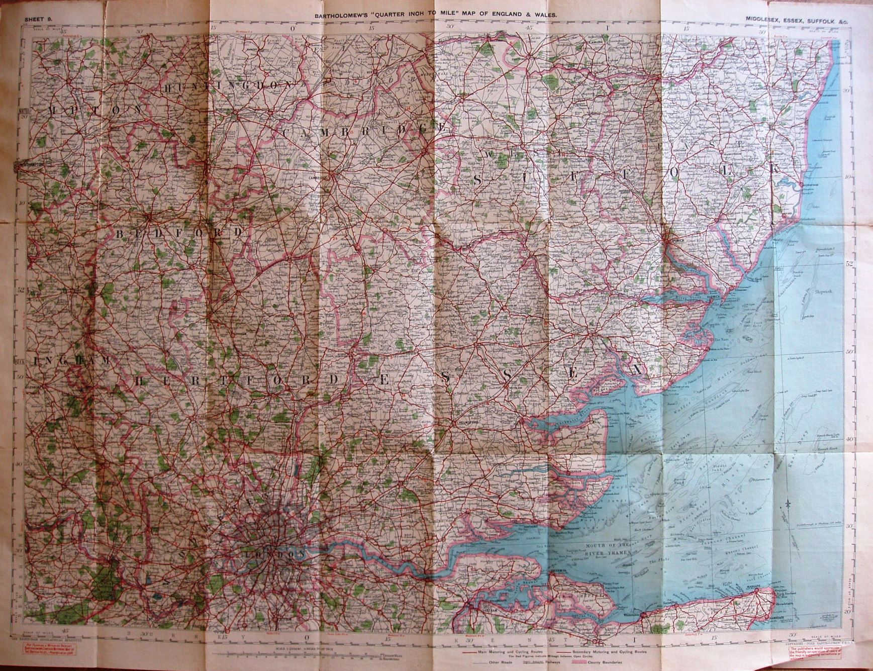 |
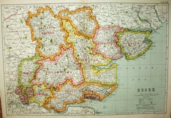
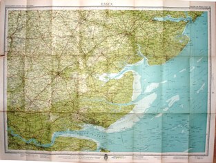
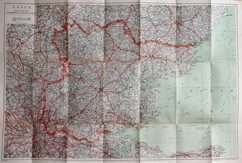
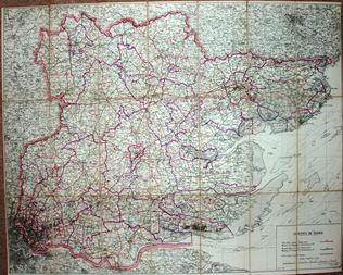
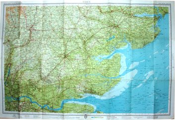
J Bartholomew
Essex
1929 513mm x 703mm
The Bartholomew Quarter Inch map continues. |
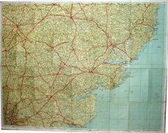 |
Geographia Ltd
Geographia Road Map of Essex & S. Suffolk
1929 741mm x 962mm
The two inch maps continue despite being ugly and overcrowded. |
 |
Essex County Council
Essex County Council County Road Map
1930 593mm x 755mm x 4
Four one inch sheets. |
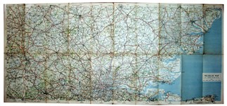 |
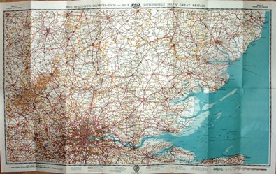
Michelin
Michelin Map of Great Britain
1930 460mm x 1077mm
Michelin covers the country at 1:200,000. |
 |
Geographia Ltd
Geographia Up-to-date Road Map of Essex
1931 411mm x 531mm
Three inch overcrowded map, but cheap. |
 |
GW Bacon
Bacon's County Atlas of England and Wales
1931 303mm x 449mm
The Atlas keeps going. |
 |
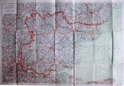
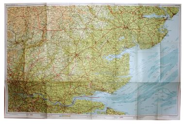
J Bartholomew
Essex
1934 512mm x 722mm
Bartholomew's iconic Half Inch map inter-war. |
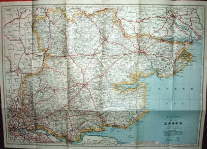 |
GW Bacon
Bacon's County Map
1935 428mm x 601mm
Two male cyclists still consulting the map (for 15 years now!). |
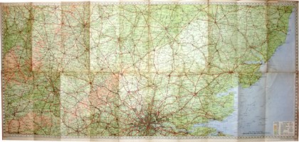 |
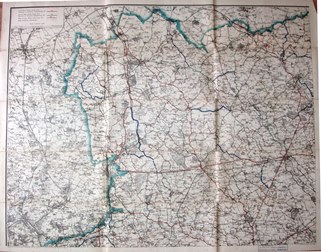
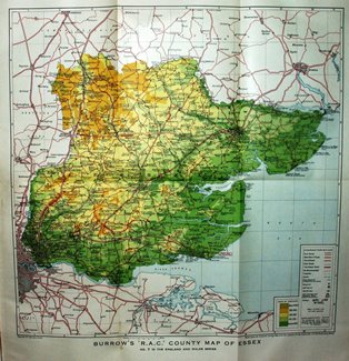
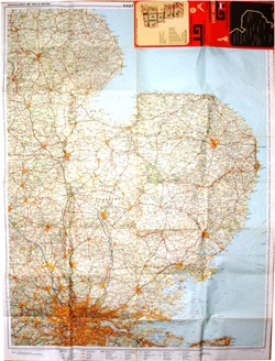
RAC
RAC Quarter Inch Map of England & Wales
1936 453mm x 999mm
RAC switched to Bartholomew; odd shape though. |
 |
Geographia Ltd
Geographia Large Scale Road Map of Essex
1937 473mm x 720mm
Three miles to an inch, despite the title. |
 |
RAC
RAC Road Map & Gazetteer
1939 453mm x 999mm
County map from a gazetteer. |
 |
J Bartholomew
Essex
1939 529mm x 813mm
Bartholomew's Half Inch map just before WW2. |
 |
A Mee
Children's Encyclopedia
1939 130mm x 198mm
Arthur Mee's reissue, firts published by Harmsworth. |
 |
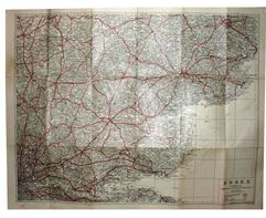
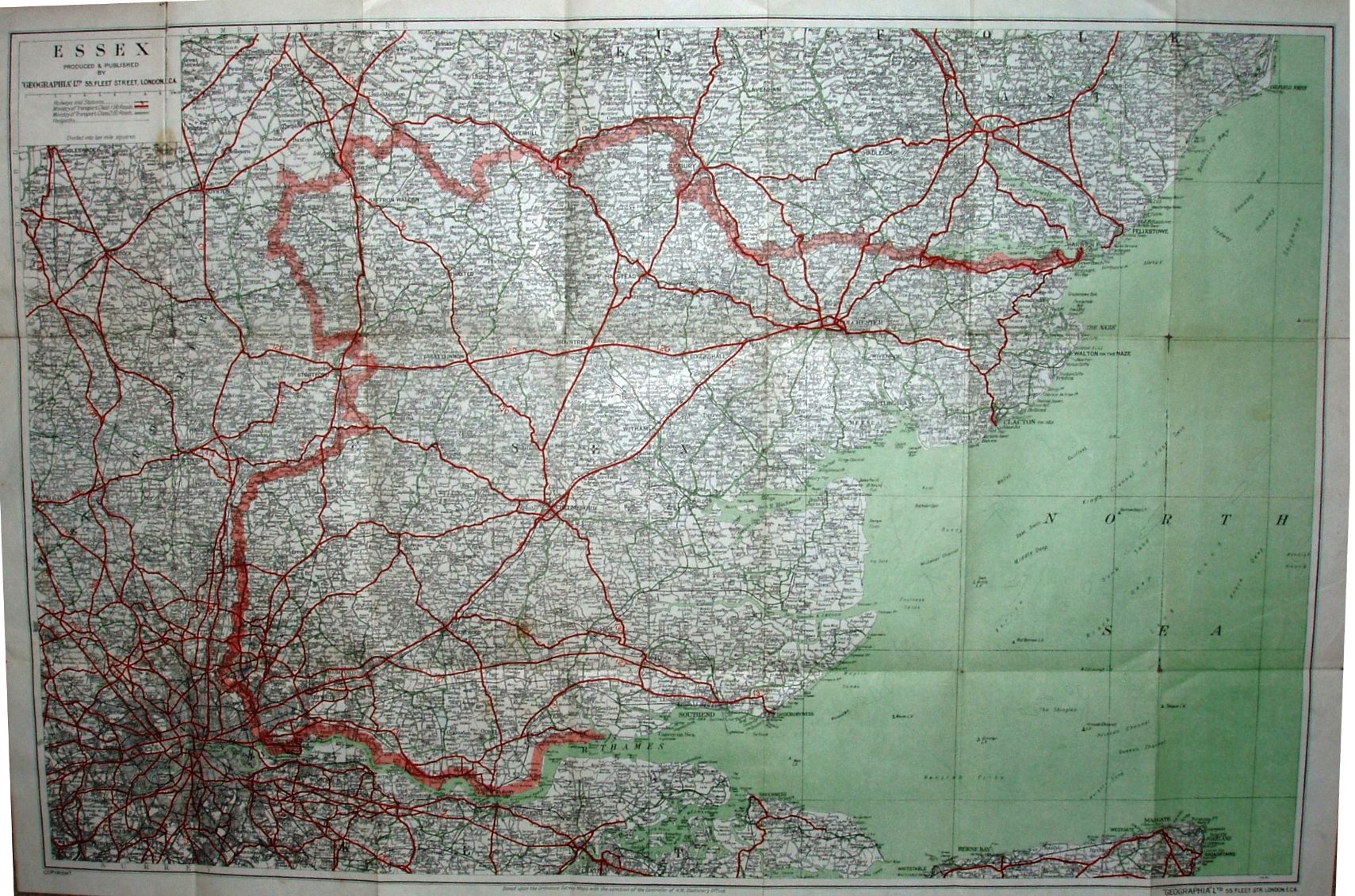
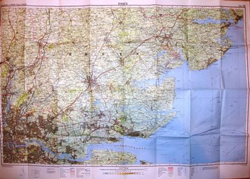
Geographia Ltd
Geographia No 14 Essex & S Suffolk
1942 748mm x 963mm
Two miles to an inch; Geographia bombed out of old address. |
 |
Geographia Ltd
Geographia Up-to-date Road Map of Essex
1942 411mm x 531mm
Three miles to an inch; Geographia's cheaper line in maps. |
 |
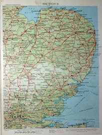
W & AK Johnston
Motoring and Hiking Map, Section KK
1944 612mm x 487mm
Same size map as their 1905, but much more land. |
 |
Geographia Ltd
Geographia Large Scale Road Map of Essex
1944 476mm x 720mm
Three miles to an inch; Geographia's pricier line in maps. |
 |
Geographia Ltd
Geographia Large Scale Road Map of Essex
1946 475mm x 720mm
Three miles to an inch; we move post-war. |
 |
Essex County Council
County of Essex
1947 613mm x 781mm
Post-war gone down to half-inch map. |
 |
Dunlop
The Dunlop Maps
1948 245mm x 191mm
Twelve inch maps as a set of cards. |
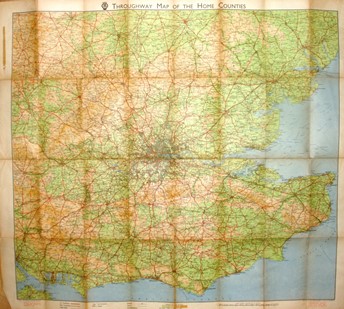 |
J Bartholomew & The AA
Throughway map of the Home Counties
1948 692mm x 779mm
The AA now using Bartholomew's Quarter Inch map, but with different sheet sizes. |
 |
J Bartholomew & The AA
London Northwards
1950 692mm x 779mm
The AA still using Bartholomew's Quarter Inch map, but with smaller sheets. |
 |
J Bartholomew
Essex
1951 525mm x 808mm
Bartholomew's Half Inch map just after WW2. |
 |
Geographia Ltd
Geographia Large Scale Road Map of Essex
1952 472mm x 719mm
Three miles to an inch; a change of cover. |
 |
W & AK Johnston
New Two Miles to 1 Inch map
1952 547mm x 866mm
Bigger map, and larger scale than before. |
 |
Essex County Council
County of Essex
1955 600mm x 7772mm
Just like the 1947 version. |
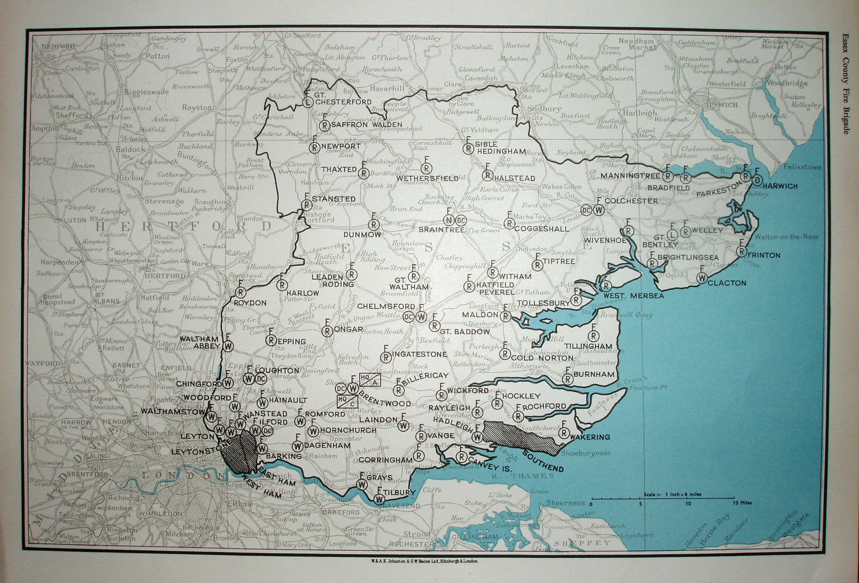 |
Johnston and Bacon
Essex
1957 235mm x 362mm
Essex Fire Brigade - map of Fire Stations. |
 |
BMC
Essex
1959 416mm x 418mm
County Map & Gazetteer. |
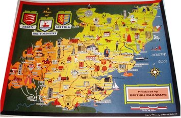 |
British Railways
Herts, Essex & Suffolk
1960s (?) 248mm x 314mm
Looks like a postcard, but is a poster. |
 |
Unknown
Essex
1960s (?) 128mm x 152mm
Garish sketch map from a magazine (?). |
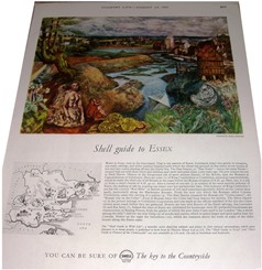 |
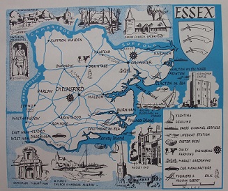
Country Life
Shell Guide to Essex
1961 68mm x 80mm
Tiny map to encourage you to drive around the county. |
|
Maps below are generally not shown for copyright reasons. |
 |
J Bartholomew
Essex
1964 522mm x 806mm
Bartholomew's Half Inch maps continue. |
 |
J Bartholomew
Essex
1967 520mm x 800mm
Bartholomew's Half Inch maps continue. |
 |
J Bartholomew
Essex
1970 520mm x 800mm
Bartholomew's Half Inch maps continue. |
 |
J Bartholomew
East Anglia Grand Touring
1973 965mm x 742mm
The Bartholomew Quarter Inch map goes regional. |
 |
J Bartholomew
Essex
1975 646mm x 1007mm
Bartholomew's Half Inch maps go metric. |
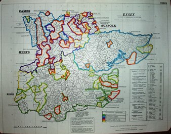 |
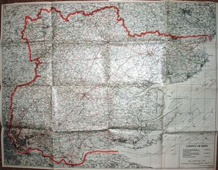
Institute of Heraldic and Genealogical Studies
Essex Parishes
1980 300mm x 392mm
Identifies a Parish and its Archdeaconery. |
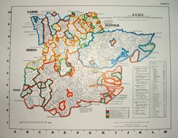 |
Institute of Heraldic and Genealogical Studies
Essex Parishes
1983 177mm x 230mm
Smaller version, but with printed grid. |
 |
J Bartholomew
East Anglia and South East England
1990 990mm x 759mm
The Bartholomew Quarter Inch regional map gets bigger. |
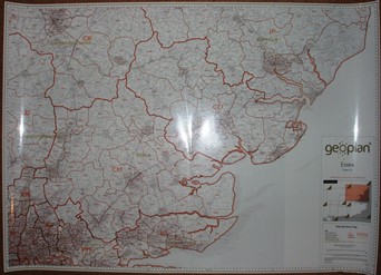 |
Geoplan
Essex, Sheet 16
2007 863mm x 1209mm
Modern map of Post Code districts. |
