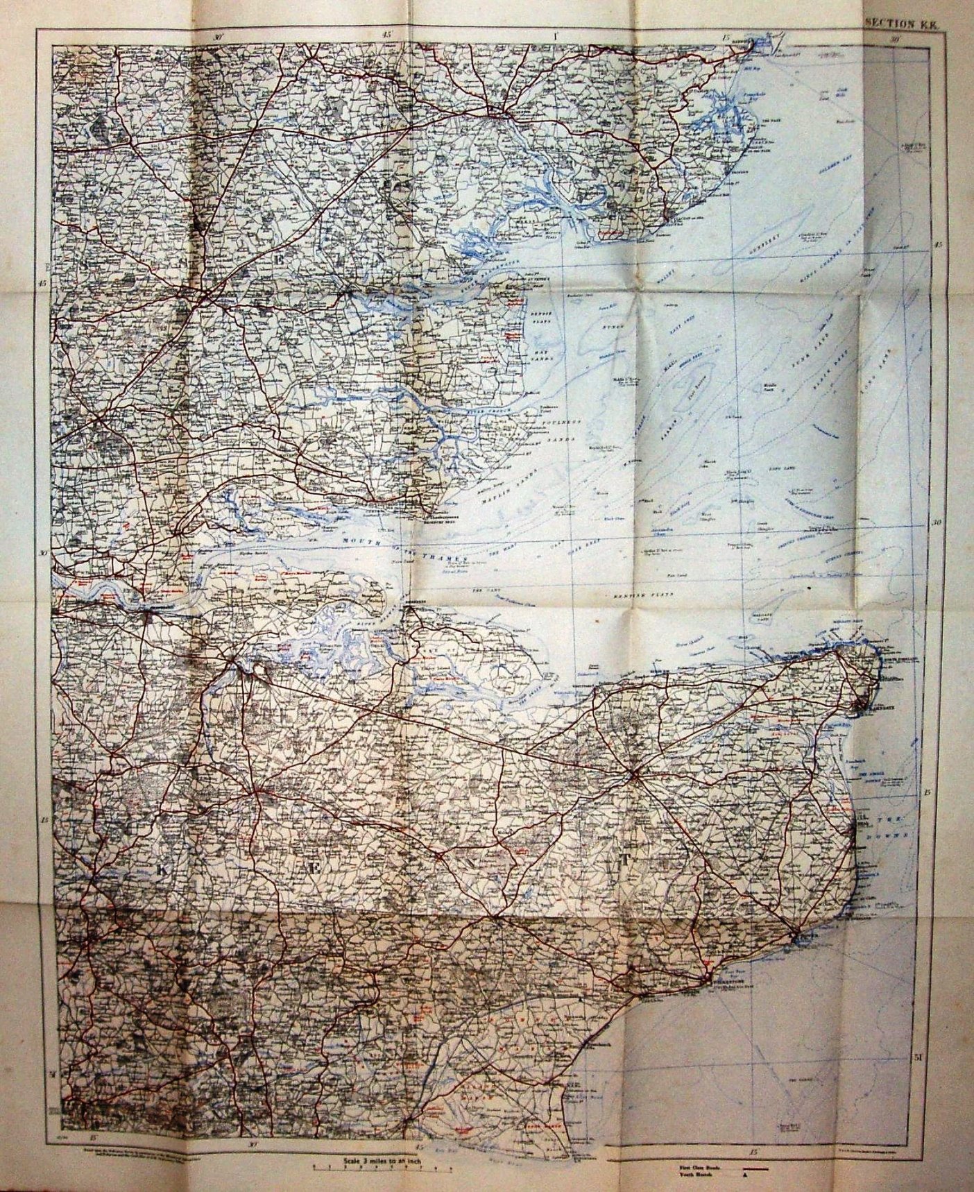
Motoring and Hiking Map, Sheet KK
Essex & Kent: north-west to Thaxted, north-east to Harwich, south-east to Dungerness, south-west to Cross-in-Hand, west to Chipping Ongar.
More details on Johnston's maps are on the Publisher's page.
Displayed scale of 9 miles = 76mm, or 3.0 miles/inch, ie 1:190,000.
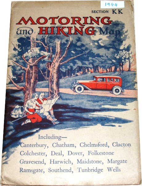
There are wrap-around card covers, with a picture of happy hikers consulting their map whilst a car drives by; there is no price. An Index map on the back cover shows the 33 maps to cover England, Wales & Scotland.
First class roads in red, others in black; rivers and sea in blue. Code: 12/44 = December 1944.