Bacon's County Atlas of England and Wales
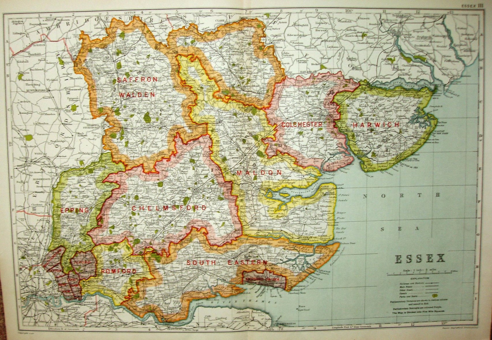
Presumably the same Atlas as before - it is certainly the same size and scale. This one has the same reference top right corner ("Essex III") as the 1924 1st map.
More details on Bacon's maps are on the Publisher's page.
Displayed scale of 10 miles = 63.5mm, or 4.0 miles/inch; actual scale = 3.9 miles/inch, or 1:250,000.
The symbols in the "Explanation" have been changed, and the notes about the 1921 Railway Act have gone, but otherwise it's the same as in 1924 (?).