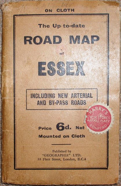
The Up to Date Road Map of Essex
Rather plain pale brown wrap-around cover, Price 6d Net (mounted on Cloth). Inside the front cover is an advert for Geographia's Road Maps - 4 for England + 1 for Scotland + 1 for Ireland, all at 6d each mounted on cloth (!); the back cover has the same advert.
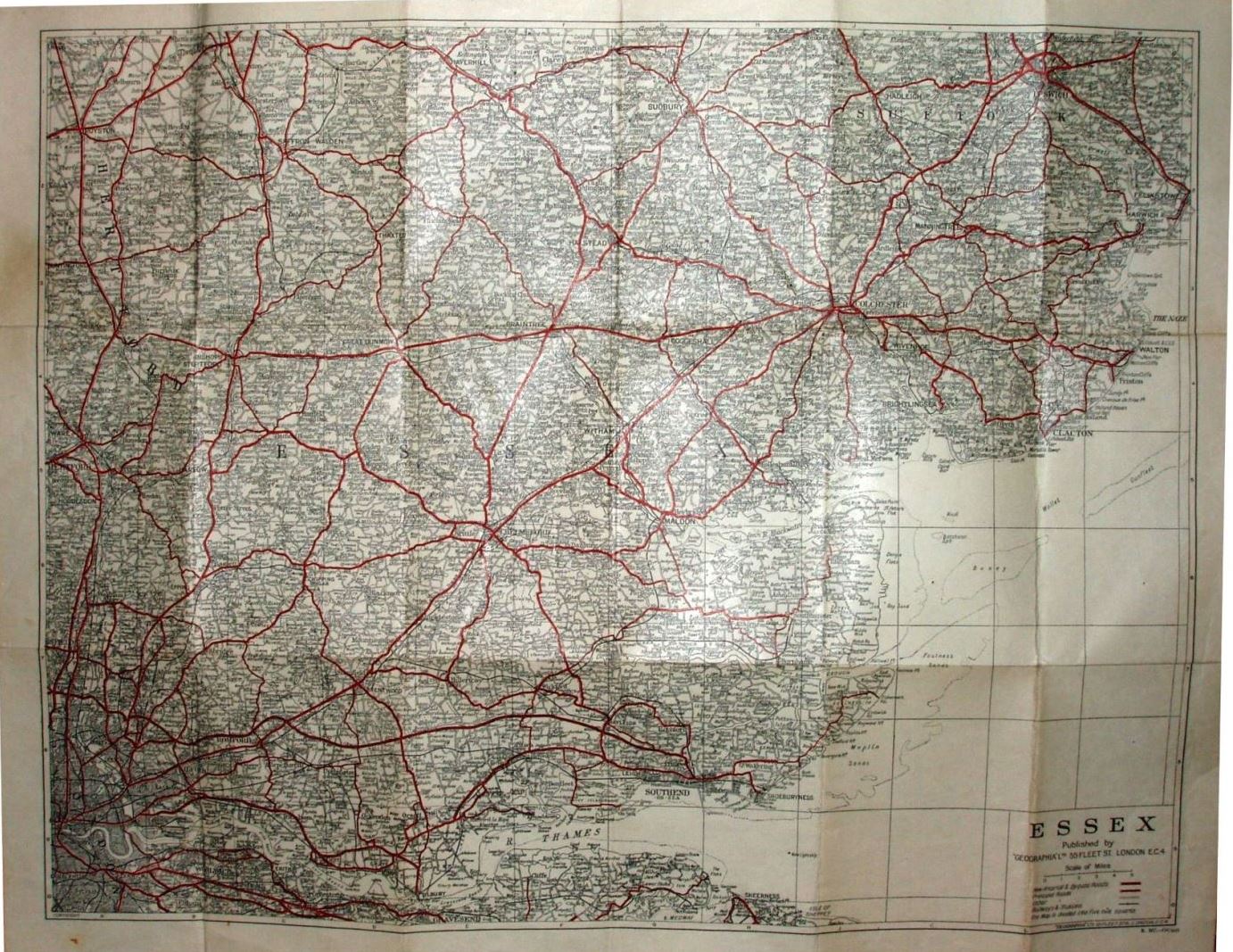
Arterial and bypass roads are in thick red (still unnumbered), and (other) Principal roads in thin red. The Southend Arterial (opened 1925) and the Stanford-le-Hope bypass (c.1932) are present, plus the Chelmsford bypass shown as planned (1931).
Scale correct at 5 miles = 43mm, or 3.0 miles/inch, ie 1:185,000.
The map is published by Geographia Ltd, 55 Fleet Street (on both the map and the cover), and has the code R.MC = June 1931.
More details on Geographia's maps are on the Publisher's page.