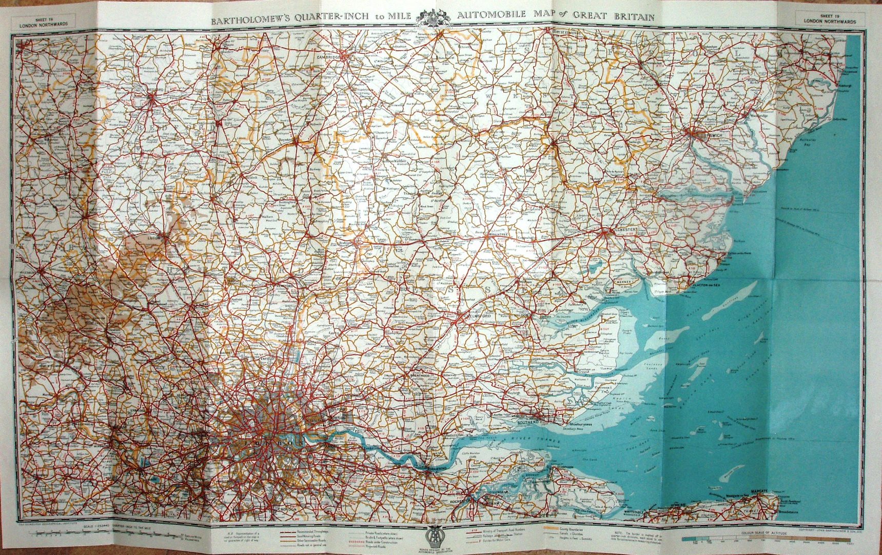
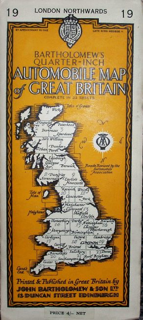
Bartholomew's Quarter Inch Automobile Map of Great Britain, Sheet 19, London Northwards
The AA is still using Bartholomew's series of Quarter-inch maps, and this one is similar to their Sheet 9 - but about 20% smaller north-south.
It extends north to Cambridge, west to High Wycombe and south to Chatham. There were 23 sheets to cover Great Britain.
More details on Motoring maps are on the Publisher's page.
Scale correct at 21 miles = 135mm, or 4.0 miles/inch, ie 1:255,000.
It has a print code 486 in the bottom left corner - perhaps June 1948?. Amongst the adverts is one for their London & Home Counties Duplex Throughway Map - of which mine is definitely 1948.
There are many planned roads shown on the map, such as a Dartford Tunnel (opened to traffic 1963, but built 1959/60) and an M1 northwards from Watford (opened 1959). From this, and these same planned roads shown on the 1948 map I have estimated a date of 1950 - but it could be anything from 1948 to 1959.