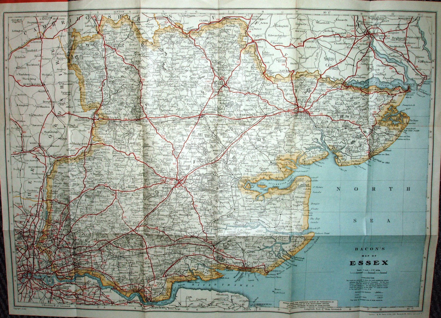
Bacon's County Map of Essex
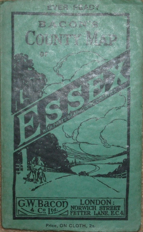
Folding map in booklet, that only has an "Alphabetical Index to Principal Towns, Villages, and Railway stations".
Two men consulting their map stand leaning on their bikes beside a road, with a car approaching up a hill. Yet another dull pink cover - and also a green cover with added title "Ever Ready" (a Bacon marketing slogan, not a reference to batteries); the two covers contain totally identical maps.
More details on Bacon's maps are on the Publisher's page.
Displayed scale of 6 miles = 52.5mm, or 2.9 miles/inch; actual scale = 2.8 miles/inch, or 1:175,000.
"Copyright" in bottom left corner, with code M.3836.
Stanford-le-Hope is now bypassed (opened early 1930s). There is a railway line to Allhallows (in Kent), and the line to Hadleigh (in Suffolk) has lost its intermediate stations, so post 1932. Main roads in red and numbered, but county still edge-coloured in pale brown.