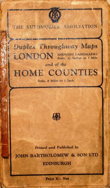
Duplex Throughway Maps, London and of the Home Counties
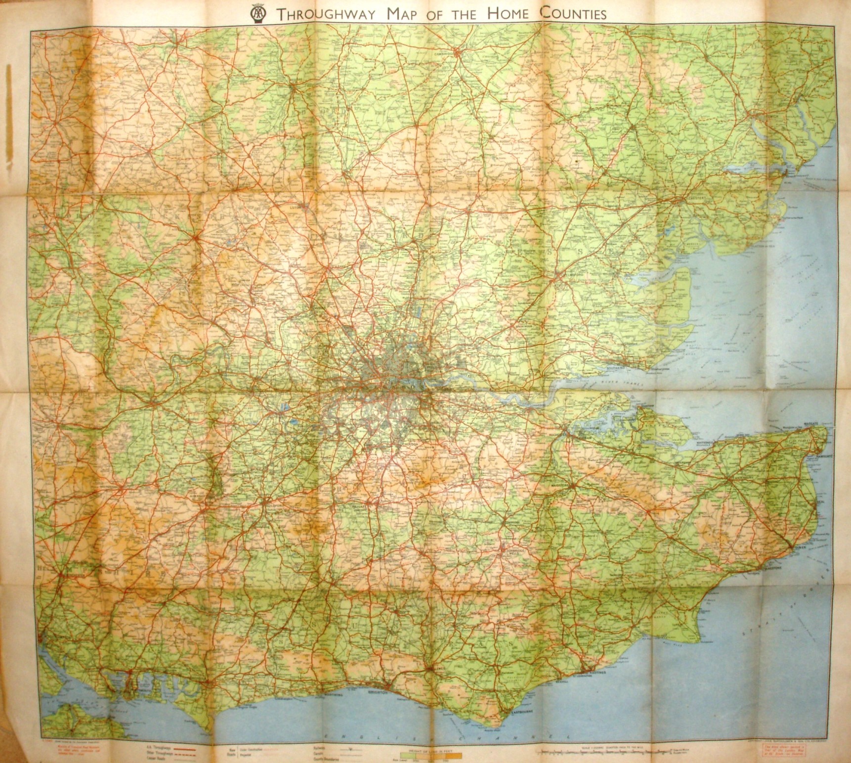
The AA is now using Bartholomew's series of Quarter-inch maps, but of a larger print area than Bartholomew's were publishing for themselves.
There is thus a very large area covered, from the Isle of Wight in the south-west to beyond Ipswich in the north-east. A larger scale map of London covers the reverse side.
More details on Motoring maps are on the Publisher's page.
Scale correct at 21 miles = 132mm, or 4.0 miles/inch, ie 1:255,000.
Copyright John Bartholomew & Son Ltd, Edinburgh.
Map has code A.1948, ie printed first half of 1948. Even so, the map shows a planned road that will be the M1 north of Watford (opened 1959), and names as "Tunnel under construction" the Dartford Tunnel (opened to traffic 1963, but built 1959/60).