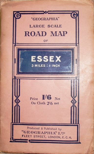
Large Scale Road Map of Essex
Pink wrap-around cover; Price 1/6 Net (On Cloth 2/6 Net). Label stuck to generic cover saying: Essex 3 Miles : 1 Inch. No advert on the back cover.
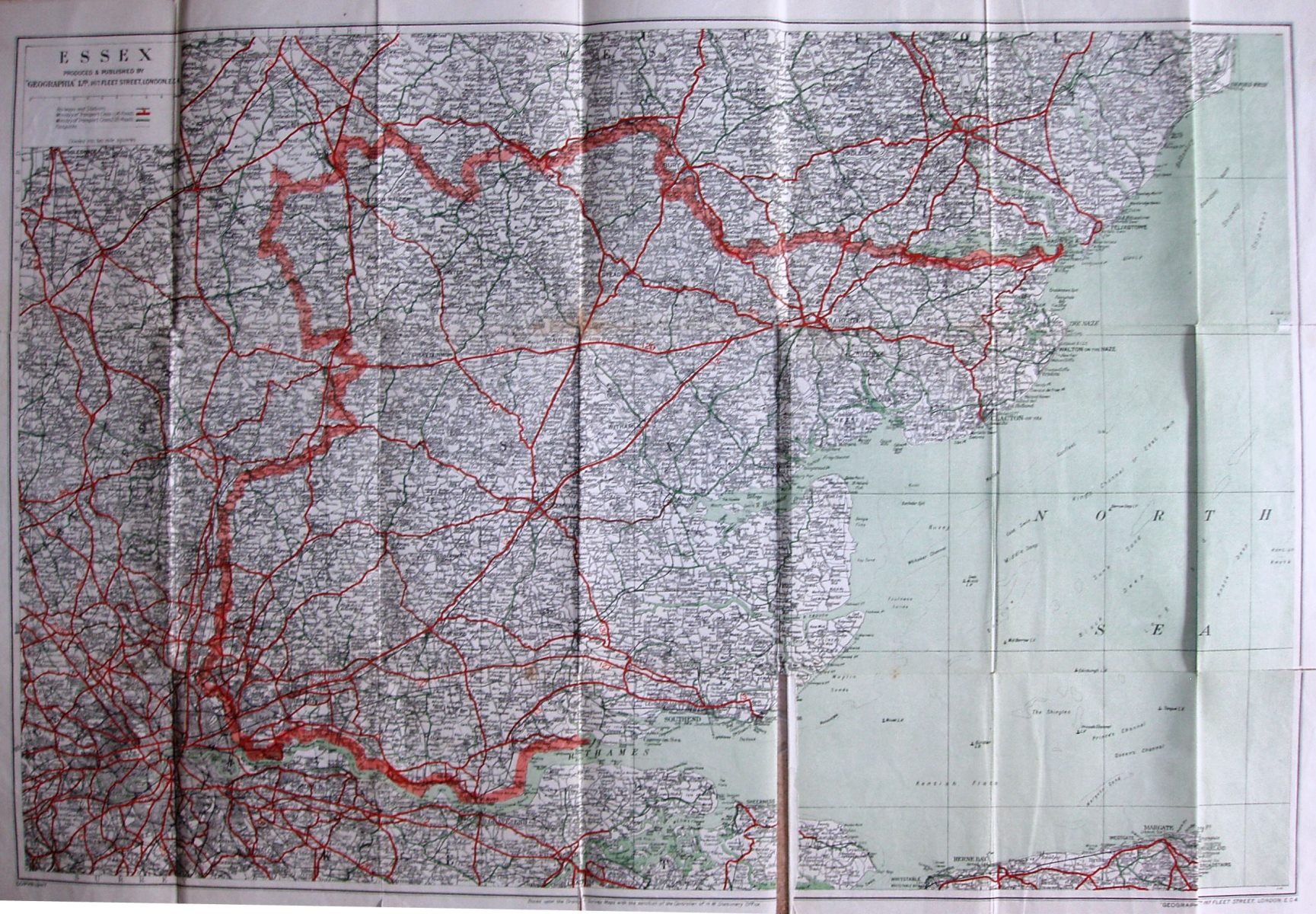
Ministry of Transport class 1 (A) roads are in red (numbered); Ministry of Transport class 2 (B) roads are in green (unnumbered). The sea is green (done by faint green lines). The Woodbridge bypass is shown (opened 1933) as the A12.
Scale correct at 10 miles = 85mm, or 3.0 miles/inch, ie 1:190,000.
The map is published by Geographia Ltd, 167 Fleet Street on the map, but unnumbered on the covers; code of A.BR = August 1946.
More details on Geographia's maps are on the Publisher's page.