
Large Scale Road Map of Essex
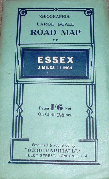
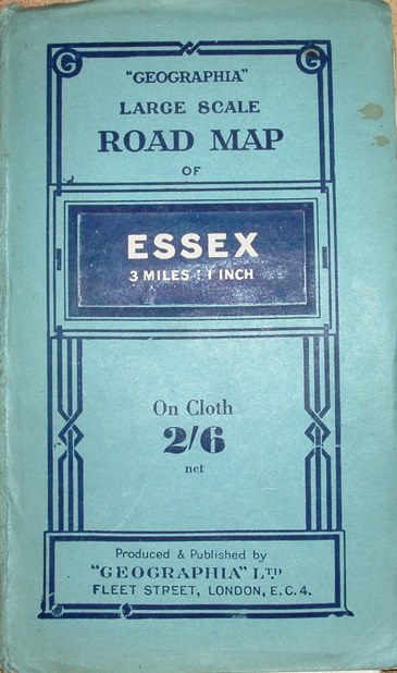
Two covers containing the same map, with a date estimated from address and dates of earlier & later maps. Label stuck to generic cover saying: Essex 3 Miles : 1 Inch.
Green wrap-around cover; Price 1/6 Net (On Cloth 2/6 Net). No advert on the back cover.
Green-blue wrap-around cover; On Cloth 2/6 Net. Advert on the back cover for Four Sheet Touring Map of England & Wales, 5 Miles to 1 Inch.
Scale correct at 10 miles = 85mm, or 3.0 miles/inch, ie 1:190,000.
Ministry of Transport class 1 (A) roads are in red (numbered); Ministry of Transport class 2 (B) roads are in green (unnumbered). The sea is green (done by faint green lines) and the land is white. The Woodbridge bypass road is shown (opened 1933) but the A12 is coloured through the town.
The map is published by Geographia Ltd, 167 Fleet Street on the map, but unnumbered on the covers; no code.
More details on Geographia's maps are on the Publisher's page.