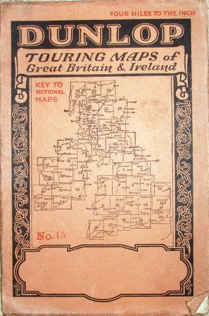
Touring Maps of Great Britain & Ireland, No 15
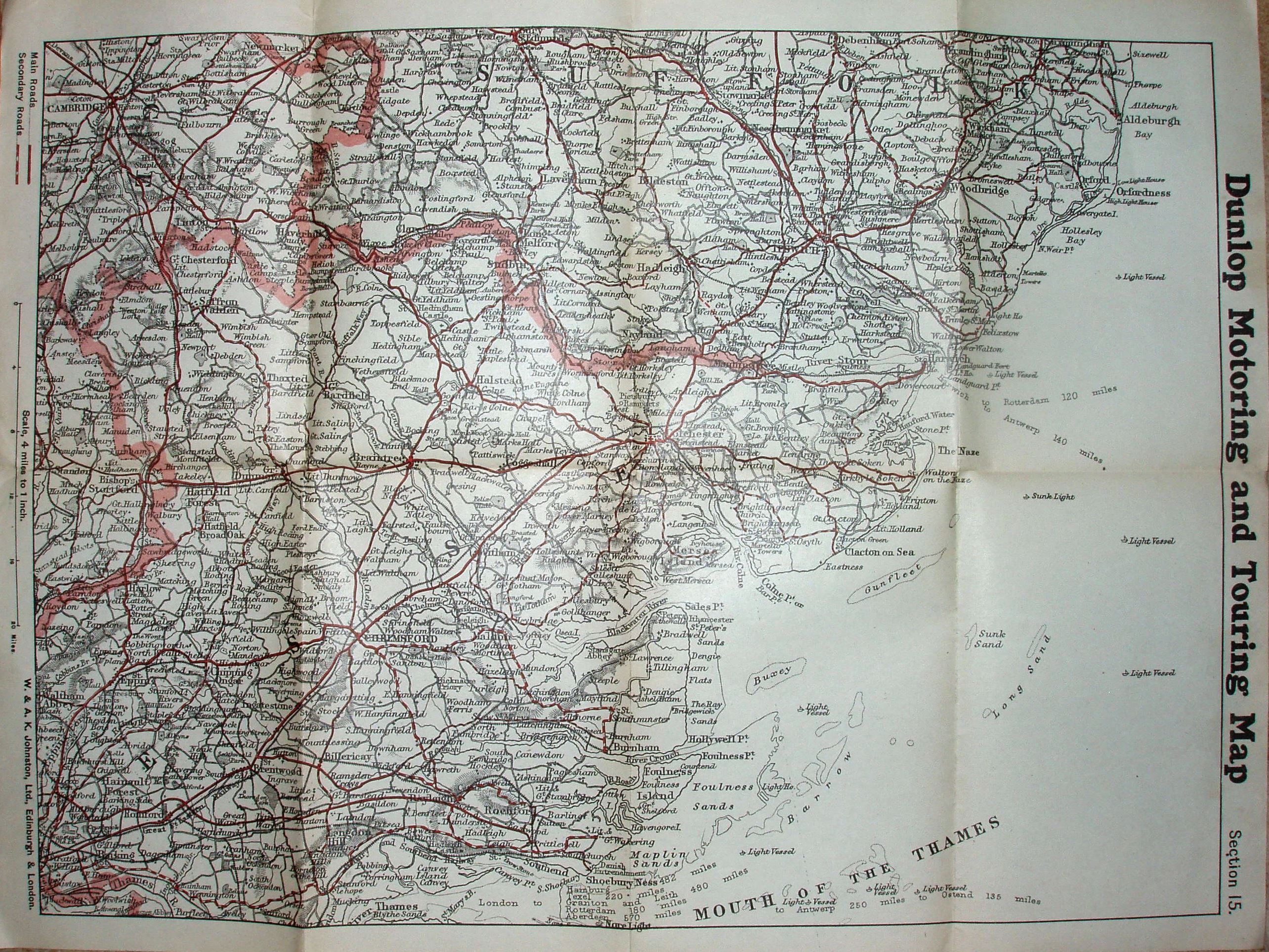
Dunlop Motoring and Touring Map, Section 15 (viz most of Essex, South Suffolk and SE corner of Cambridgeshire). Map by W & AK Johnston, Ltd, Edinburgh & London.
Shows Main roads in solid red and Secondary roads in dashed red, with (implicitly) other roads in black.
More details on Motoring maps are on the Publisher's page.
Scale correct at 20 miles = 127mm, or 4.0 miles/inch, ie 1:250,000.
Counties edge-coloured. Has got Tollesbury Pier (opened 1907), but not Thaxted branch (1913); has got Southend Arterial (1925), but not Stanford-le-Hope bypass (1929/35) or East Ham bypass (1928), and hence estimated date.
The roads are far more up-to-date than the railways, which suggests the producer of the underlying map was concentrating on the modern changes.