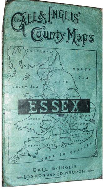
Gall & Inglis' County Maps Essex
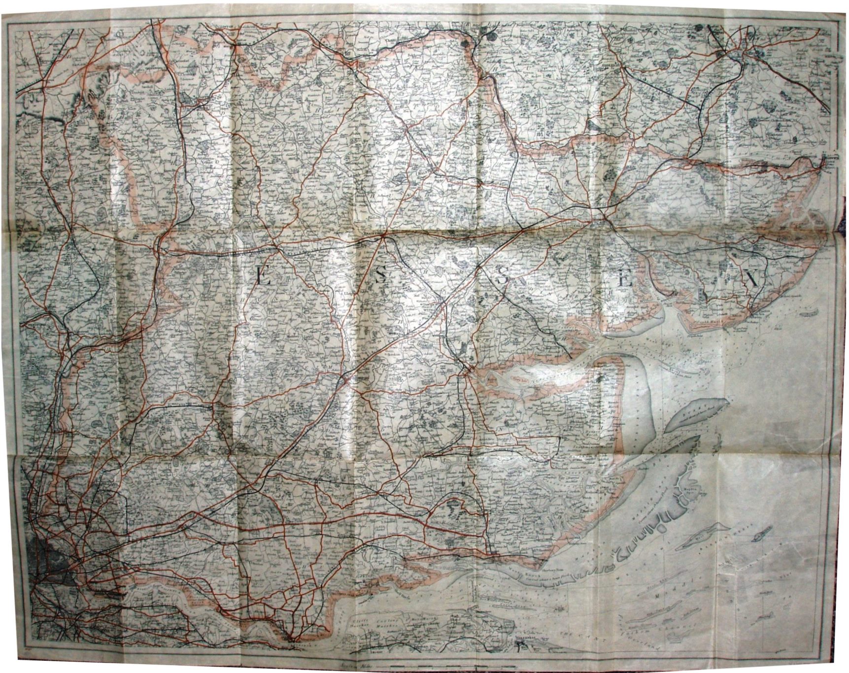
The map is the same as used in the 1910 examples, but the cover has at long last changed to an outline map of England and Wales with the county name across it. The map itself is printed on very thin paper, and despite the road changes (see below) still has exactly the same code as before - M3x.
On the railways there is the branch line down to Tollesbury Pier (opened 1907), but not the Elsenham to Thaxted light (opened 1913). This is the same as on the "1910" folding maps, but in this case the roads have changed.
More details on Cruchley's/G&I's maps are on the Publisher's page.
Scale correct at 10 miles = 104mm, or 2.4 miles/inch, ie 1:155,000.
The Southend Arterial Road is shown (opened in 1924), and on (what is now called the ) A13, the new route from Rainham to Wennington (also opened 1924), the Purfleet to Chadwell route (opened 1925) and even the East Ham and Barking bypass (opened 1928). There is no Standford-le-Hope bypass though, which opened 1929-35, and there is also no road numbering; however, despite its introduction in 1923 the Ordnance Survey took several years to show them.
The dating is thus estimated at 1928, but could be some years wrong.