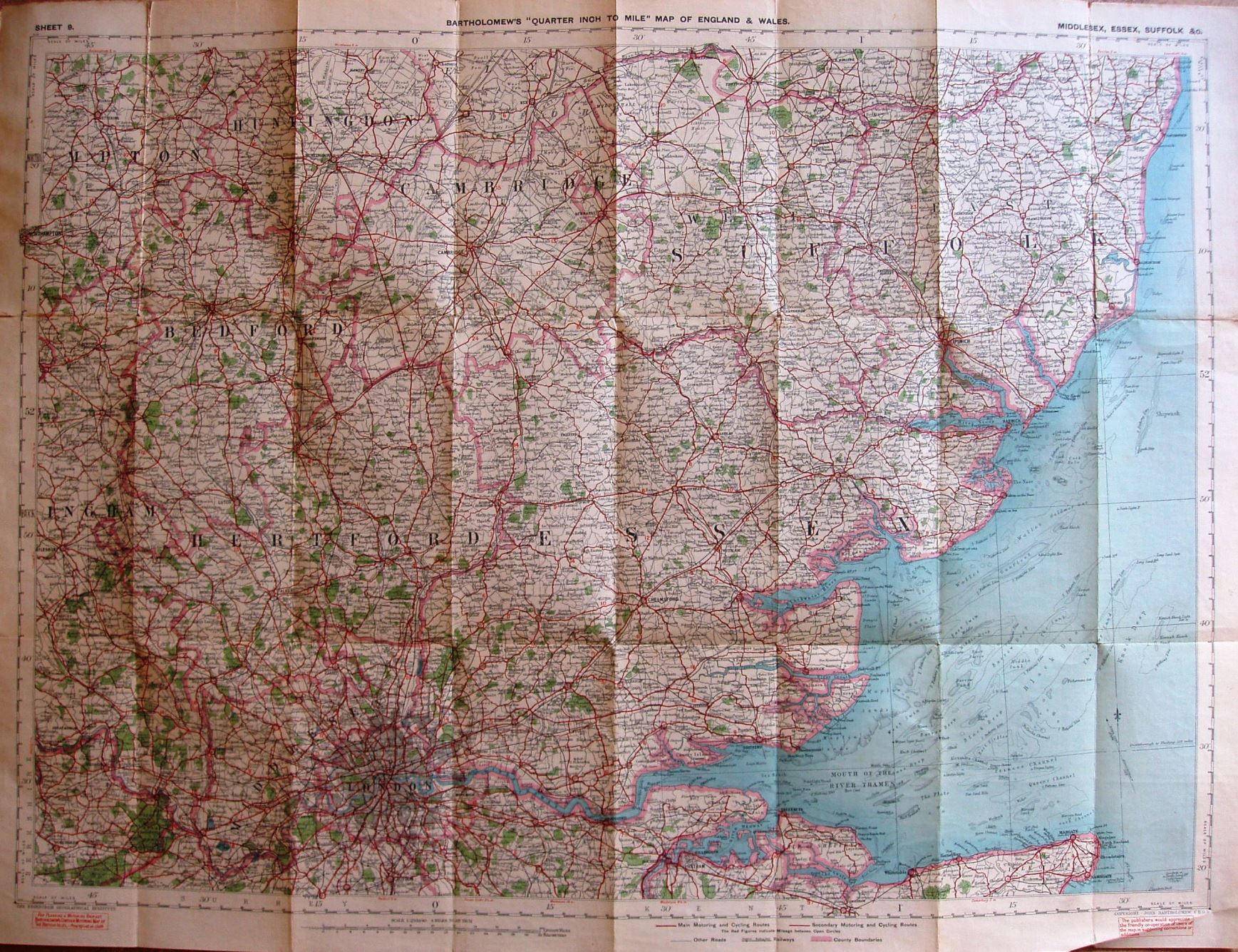
Sheet 9 - Bartholomew's "Quarter Inch to Mile" Map of England & Wales - Middlesex, Essex, Suffolk, &c.
Folding map in booklet, covering Essex, Suffolk, Middlesex, Hertfordshire and Cambridgeshire. Code A29, ie printed first half of 1929.
No mention of cyclists, and no CTC roundal. Copyright - John Bartholomew FRGS.
Scale correct at 20 miles = 126.3mm, or 4.0 miles/inch, ie 1:255,000.
More details on Bartholomew's maps are on the Publisher's page.
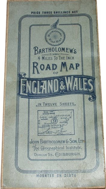
Mounted on cloth. Price Three Shillings Net. The reverse of cover has advert for Bartholomew's 4 Miles to the Inch Road Map of England & Wales. Stanford-le-Hope is not bypassed (opened early 1930s).