A New County Atlas of Great Britain
The maps were published by J Virtue in The National Gazetter from 1863 to 1868. They were subsequently published as A New County Atlas in 1873 and as A New Parliamentary & Courts Atlas of Great Britain & Ireland in 1886. 1863, 1873 and 1886 versions are also available.
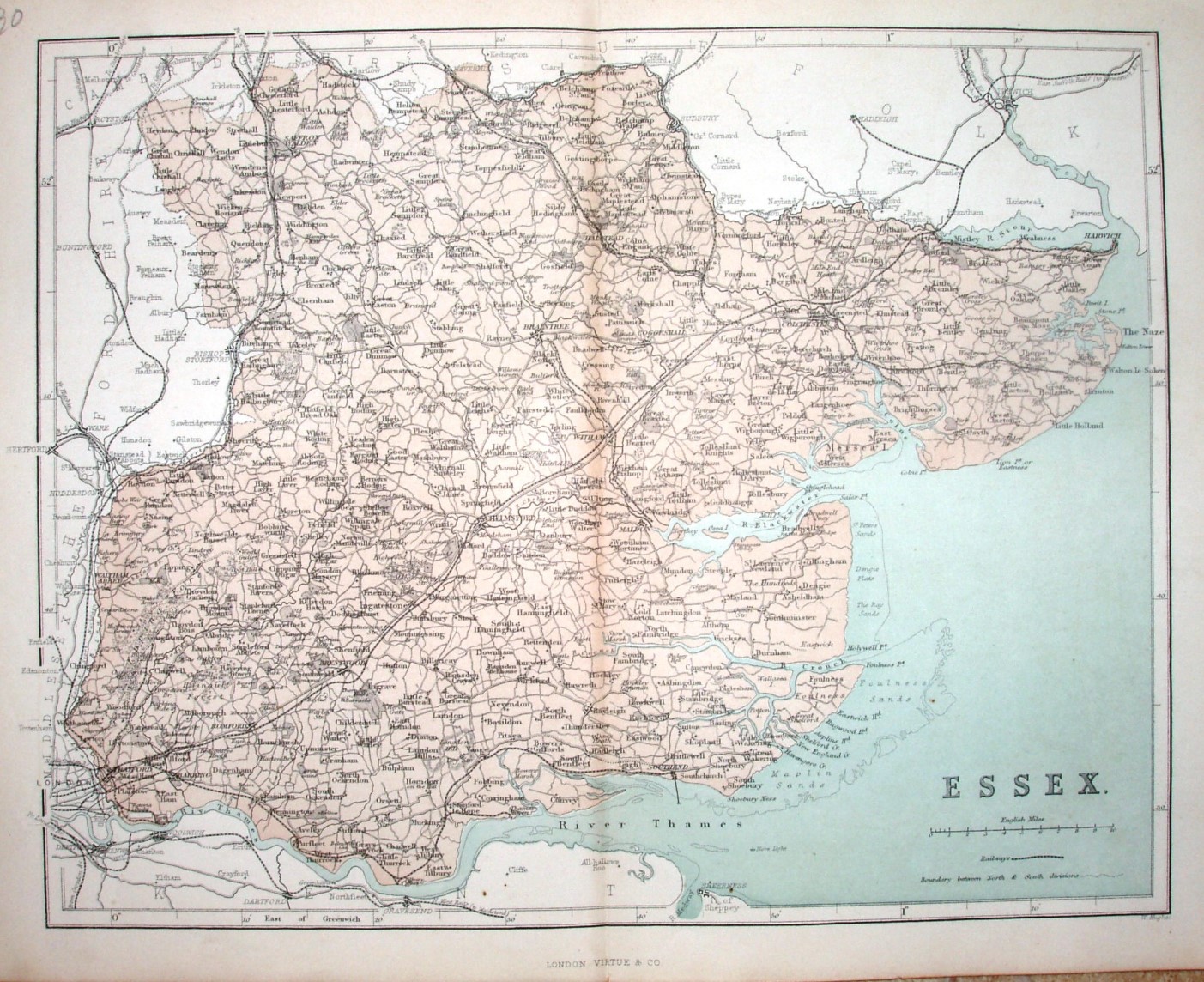
Scale correct at 10 miles = 50mm, or 5.1 miles/inch, ie 1:325,000.
The lines from Shelford via Haverhill to Sudbury, and Sudbury to Bury St Edmunds are shown (opened 1865), but not Loughton to Ongar, or Audley End to Saffron Walden (also opened 1865). The line from Wivenhoe to Brightlingsea looks incomplete (opened 1866), as does the line from Thorpe le Soken to Walton-on-the-Naze (opened 1867) - so appears to be an updated version for The National Gazetteer of 1863-68.