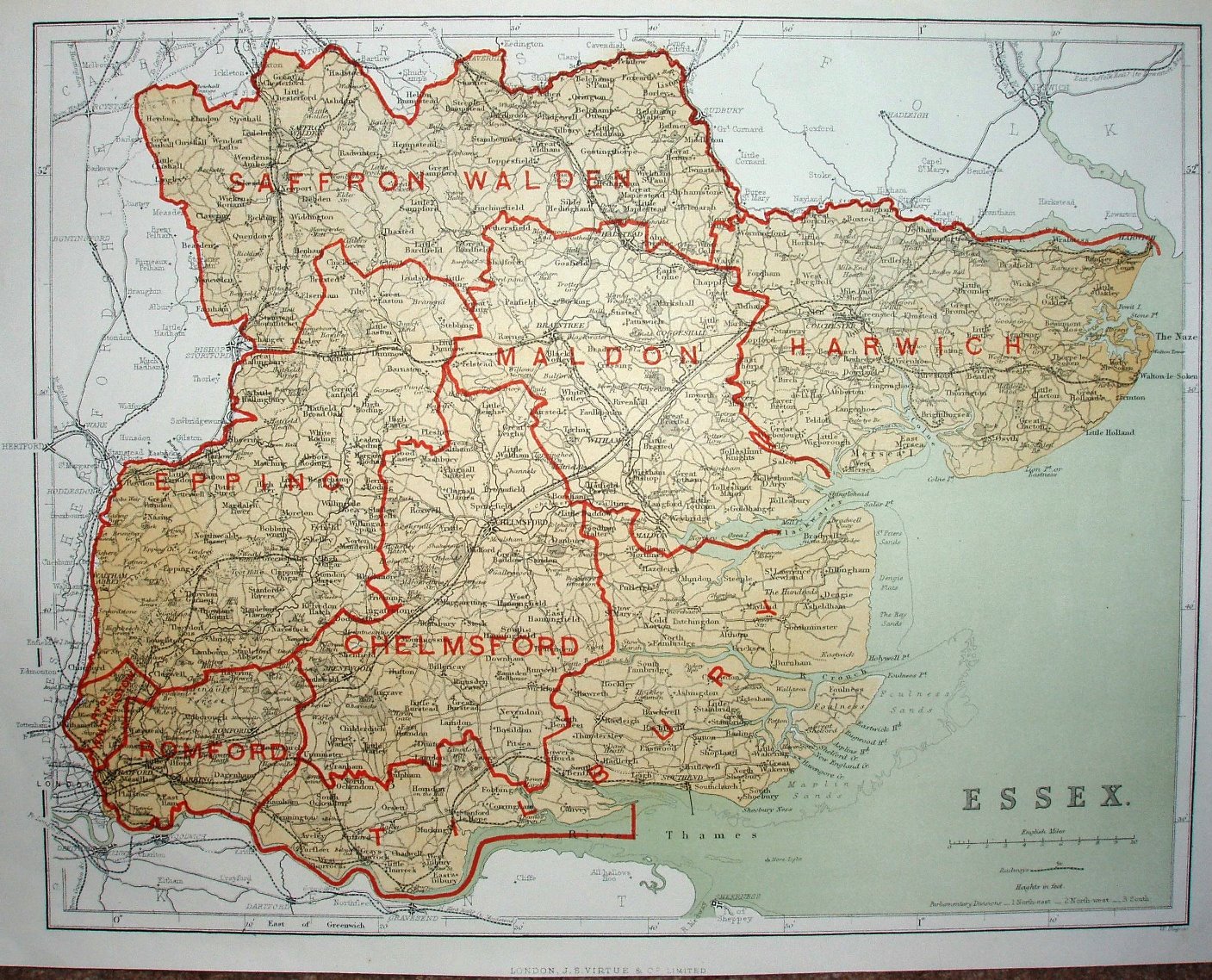
A new parliamentary & courts atlas of Great Britain & Ireland
Brightly printed names and boundaries of the new Divisions, but not so thickly that detail is obscured. 1863, 1868 and 1873 versions are also available.
Scale correct at 10 miles = 50mm, or 5.1 miles/inch, ie 1:325,000.
They must have used an old map, with some random updating of railway lines: pre-1870 the lines are shown; the Walthamstow (opened 1870), Clacton (opened 1882) and Shoeburyness (opened 1884) lines are not shown, whereas the Barking to Upminster (opened 1885) and Upminster to Grays-Thurrock (opened 1892) lines are shown.