A New County Atlas of Great Britain
The maps were published by J Virtue in The National Gazetter from 1863 to 1868. They were subsequently published as A New County Atlas in 1873 and as A New Parliamentary & Courts Atlas of Great Britain & Ireland in 1886. 1863, 1868 and 1886 versions are also available.
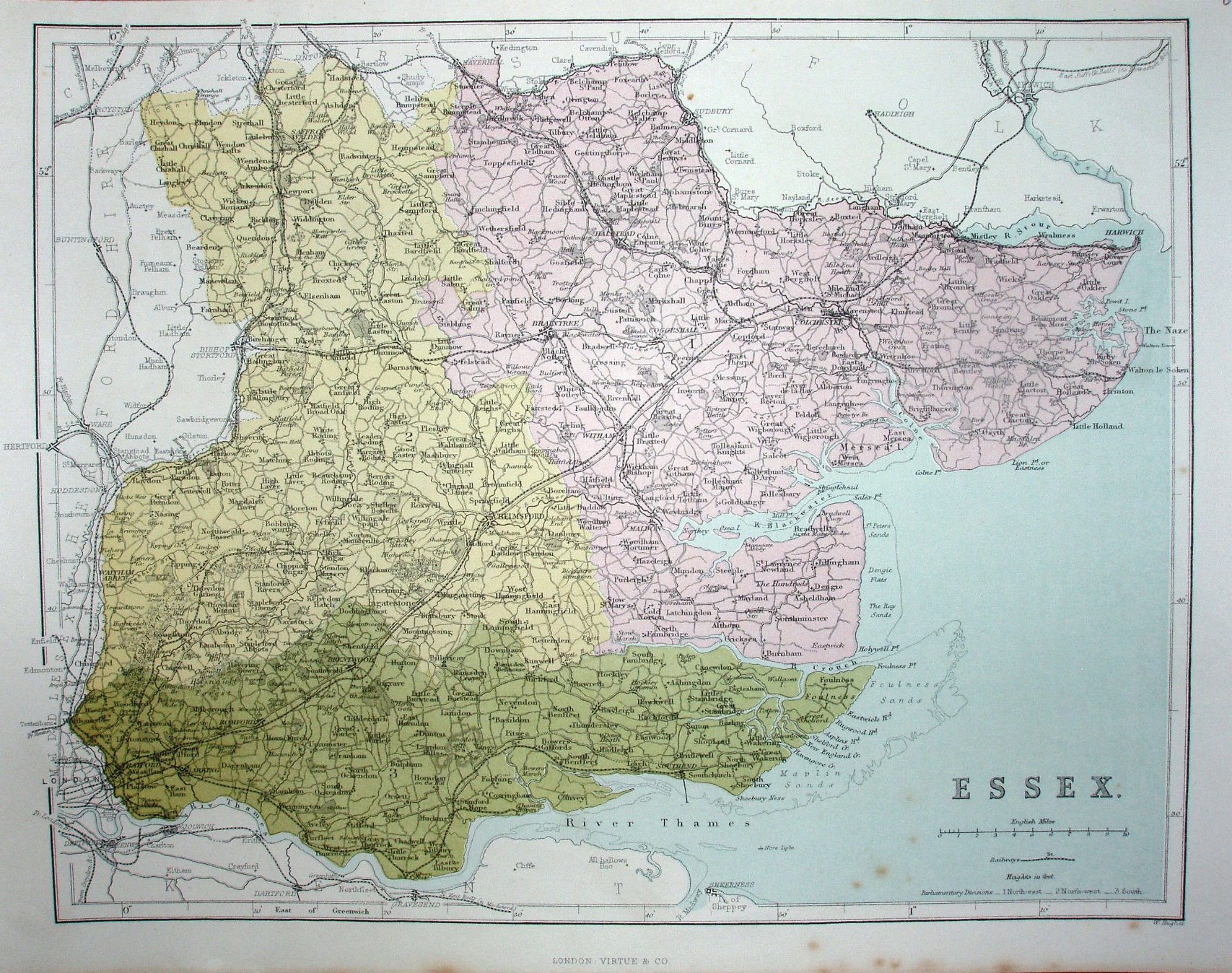
Scale correct at 10 miles = 50mm, or 5.1 miles/inch, ie 1:325,000.
The map compared to the 1868 one now has the three Parliamentary Divisions prominently coloured, and was published in A New County Atlas in 1873.