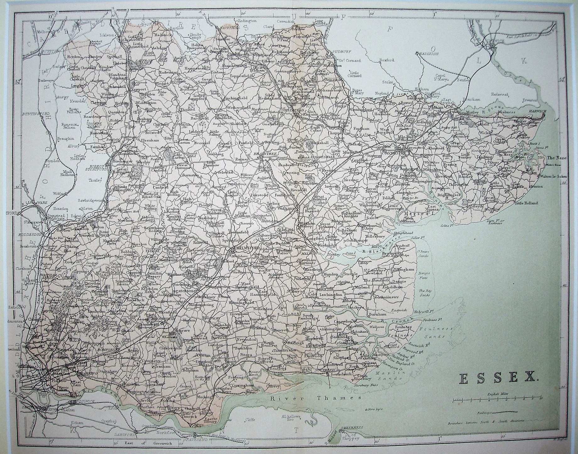
The National Gazetteer
The maps were published by J Virtue in The National Gazetter from 1863 to 1868. They were subsequently published as A New County Atlas in 1873 and as A New Parliamentary & Courts Atlas of Great Britain & Ireland in 1886. 1868, 1873 and 1886 versions are also available.
Scale correct at 10 miles = 50mm, or 5.1 miles/inch, ie 1:325,000.
The lines from Great Yeldham to Haverhill and Hythe to Wivenhoe are both shown (opened 1863), but not Loughton to Ongar, Audley End to Saffron Walden, Shelford via Haverhill to Sudbury, or Sudbury to Bury St Edmunds (all opened 1865).