The table below lists flat maps of Essex in approximately chronological order; these are taken from Atlases, or in a few cases were published as maps of Essex alone. There is a link from each entry to a large picture.
Shown against items are reference books refs -
C401 means atlas 401 from the Chubb refence book listed on the Books page
The dimensions against each map are Height x Width, and as Essex is a little wider than it is tall the width is usually greater - assuming the map has north at the top. The measurements are of the outermost neat line of the map (not the size of the sheet of paper).
| Thumbnail maps |
Mapmakers, their Atlases and Maps |
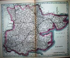 |
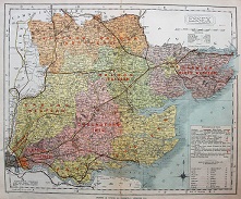
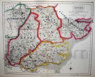
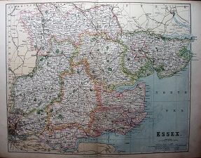
GF Cruchley
Railways and Stations Map of Essex
1875 211mm x 265mm
Cruchley keeps using his very old plates. |
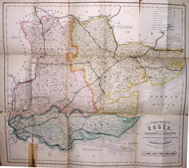 |
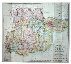
GF Cruchley
Cruchley's Railway and Station Map of the County of Essex
1875 494mm x 543mm
Cary's old plates live on under a new publisher. |
 |
GW Bacon
Bacon's New Pocket Map of Essex
1875 303mm x 430mm
Approx 4 miles to an inch folding map. |
 |
Collins
Collins' Atlas of England & Wales
1877 158mm x 205mm
Repeated map, but now in an Atlas. |
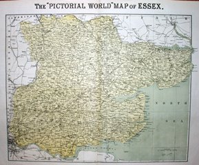 |
Pictorial World
Supplement, 26 May
1877 338mm x 417mm
Large and detailed but dull map - the Philips' larger map. |
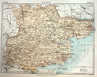 |
A & C Black / Bartholomew
Encyclopaedia Britannia 9th Edition, Essex
1878 166mm x 219mm
Read also of the pirated American editions. |
 |
J & S Virtue
Universal Geography
1880 202mm x 290mm
From one of the 38 volumes of this part work. |
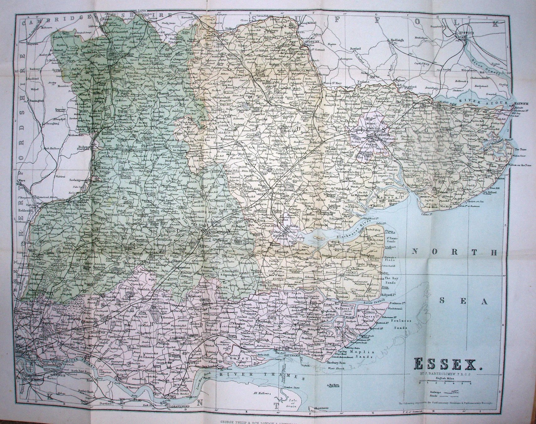 |
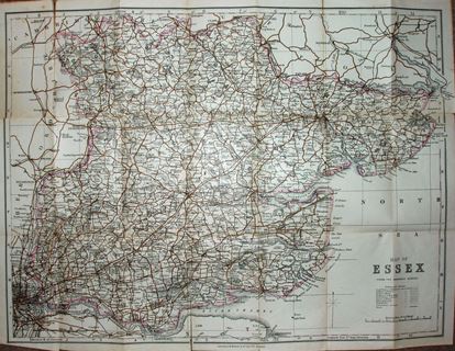
G Philip
Philips New Series of County Maps
1881 336mm x 417mm
The large Philips map, folded up. |
 |
G Philip
Philips' Handy Atlas of the Counties of England
1882 152mm x 200mm
Back to the small Philips map. |
 |
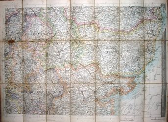
Kellys Directories
Post Office Directory
1882 628mm x 958mm
Really large map, with a lot of detail, allied to a Directory. |
 |
Dulau
Through Guide Series: Eastern Counties (1st edition)
1883 147mm x variable width
Bartholomew maps in a guide book. |
 |
WH Smith & Bartholomews
Essex
1883 337mm x 482mm
Quarter inch Bartholomew map published by WH Smith. |
 |
GW Bacon
Essex
1883 303mm x 458mm
First example from Bacon's many atlases. |
 |
GW Bacon
Essex
1884 303mm x 458mm
Updated version of 1883 map. |
 |
G Philip
Cyclists' Map of the County of Essex
1884 334mm x 416mm
The large Philips map adapted for cyclists' usage. |
 |
Letts
Letts Popular Maps
1884 332mm x 396mm
Walker map, with added earthquakes. |
 |
E Stanford
Stanford's Parliamentary County Atlas and Handbook of England and Wales
1885 177mm x 238mm
New 1885 Parliamentary Divisions - shown badly. |
 |
Boundary Commission
Parliamentary Divisions
1885 342mm x 397mm
Official new Parliamentary Divisions. |
 |
GW Bacon
The Atlas of the British Isles
1885 303mm x 461mm
Update to the 1883, with an inaccurate proposed railway. |
 |
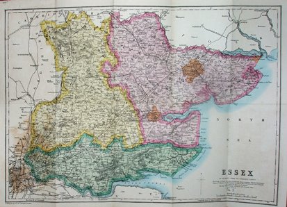
G Philips
Philips' Atlas of the Counties of England
1885 337mm x 416mm
Larger than the other Philips', with new Divisions. |
 |
G Philip
Cyclists Map of the County
1885 334mm x 416mm
The same large Philips map. |
 |
G Philips
Philips' Handy Atlas of the Counties of England
1885 152mm x 201mm
The small Philips gets the new Divisions. |
 |
G Philips
Philips' Handy Atlas of the Counties of England
1886 152mm x 201mm
The small Philips gets a tiny increase in railway. |
 |
S Hall
A Travelling County Atlas
1886 188mm x 247mm
Fictional railways in the north east, and in Epping Forest. |
 |
Hughes
A new parliamentary & courts atlas of Great Britain & Ireland
1886 239mm x 305mm
Dull map now obscured by overprint of Divisions. |
|
GW Bacon
The Atlas of the British Isles
1886 303mm x 461mm
Bacon starts to publish many atlases using the same maps. |
 |
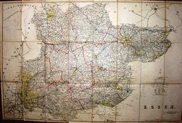
GF Cruchley
Cruchley's Railway and Station Map of the County of Essex
1886 490mm x 543mm
The larger Cruchley still with the old cover and title. |
 |
WH Smith & Bartholomews
Essex
1886 339mm x 480mm
Quarter inch Bartholomew map published by WH Smith. |
 |
James Wyld
Essex
1886 322mm x 406mm
Walker ("Letts") map, now being sold by James Wyld. |
 |
Letts
Letts Popular Maps
1887 322mm x 396mm
Walker/Letts map, without earthquakes but many Constituency changes. |
 |
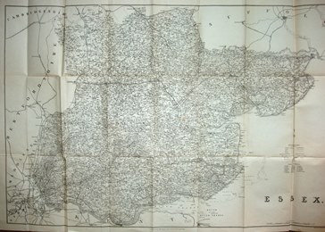
E Stanford & Bartholomews
Essex
1888 479mm x 693mm
Quarter inch Bartholomew map published by Stanfords. |
 |
Kellys Directories
Post Office Directory (?)
1888 633mm x 963mm
Really large map, with a lot of detail, allied to a Directory. |
 |
W & AK Johnston
The modern county atlas of England & Wales
1889 177mm x 245mm
Nice map, with unusual distances listed. |
 |
G Philips
Philips' Handy Atlas of the Counties of England
1890 152mm x 201mm
The small Philips keeps adding railways. |
 |
GW Bacon
The New Large Scale Atlas of the British isles from the Ordnance Survey
1891 303mm x 458mm
Bartholomew 1886 map with updates. |
 |
W & AK Johnston
Encyclopaedia Britannia 9th Edition, Essex
1892 184mm x 243mm
Small map for a big encyclopaedia. |
 |
Black
Black's Handy Atlas of England & Wales
1892 175mm x 246mm
Same underlying map as Britannia above, but far more informative. |
 |
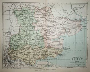
G Philip
Philip's Handy Atlas of England & Wales
1892 152mm x 200mm
The small Philips maps live on. |
 |
GW Bacon
Bacon's County Guide & Map
1892 457mm x 676mm
Man on bike chased by a horse appears on the cover. |
 |
Weller
The Comprehensive Gazetteer of England & Wales
1893 216mm x 282mm
Nice colours, but overdoes the hatchuring. |
 |
Cassell & Co
Cassell's Gazetteer of Great Britain & Ireland
1893 193mm x 239mm
County maps re-used as a GB atlas. |
 |
J&C Walker
Walker's Fox Hunting Atlas
1893 322mm x 394mm
The end of the line for the Walker maps. |
 |
GF Cruchley
Cruchley's County Maps of England, for Cyclists, Tourists, &c.
1895/96 490mm x 550mm
Eighty year old plates live on under yet another publisher. |
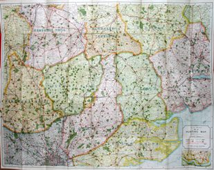 |
AH Swiss
Hunting Map No. 12.
1895 769mm x 983mm
One hundred year old plates live on under yet another publisher. |
 |
G Philips
Philips' Handy Atlas of the Counties of England
1895 161mm x 200mm
The small Philips has yet another outing. |
 |
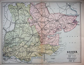
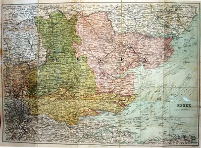
G Philips
Philips' Atlas of the Counties of England
1895 337mm x 416mm
... and so does the large Philips map. |
 |
GW Bacon
Commercial & Library Atlas of the British isles from the Ordnance Survey
1895 303mm x 458mm
Bartholomew 1891 map with updates. |
 |
GW Bacon
Bacon's County Map & Guide
1896 460mm x 612mm
Man and woman cycling on the cover. |
 |
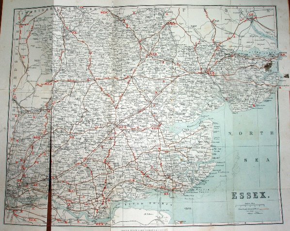
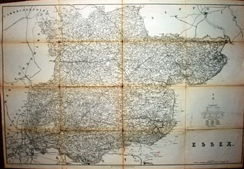
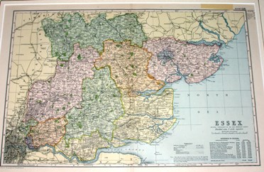
Kellys
Essex County Council Main Roads
1897 642mm x 991mm
Kelly's large map with much road information. |
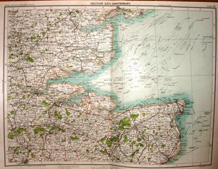 |
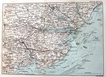
J Bartholomew
Royal Atlas of England & Wales
1897 321mm x 424mm
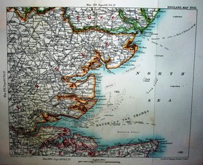
Part of Essex and Kent, as a sectional UK map. |
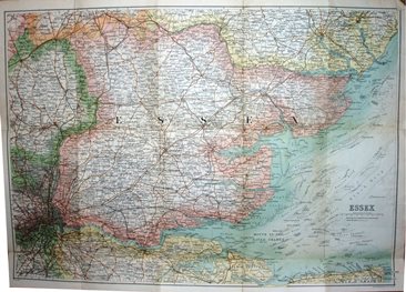 |
WH Smith & Bartholomews
Essex
1898 337mm x 482mm
Old Series Quarter inch Bartholomew map published by WH Smith. |
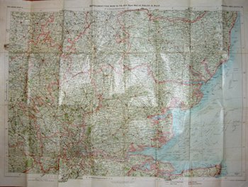 |
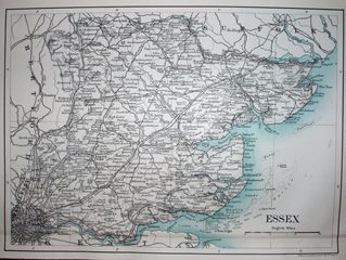
WH Smith & Bartholomews
Essex
1899 503mm x 710mm
New Series Quarter inch Bartholomew map published by WH Smith. |
