Philips' Handy Atlas of the Counties of England
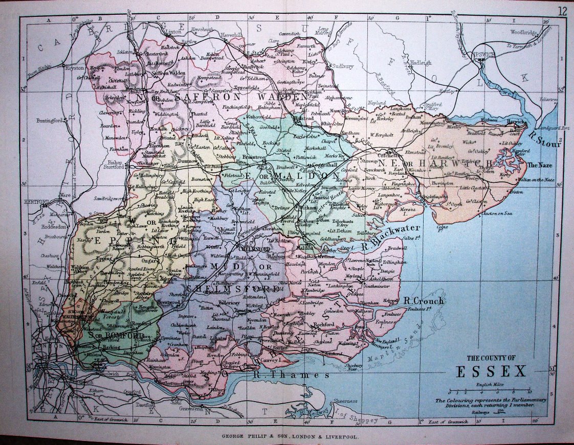
The new Parliamentary Divisons of 1885 are separately coloured, but without the green parks/estates of the (much larger) 1885 Philips map. Other examples of this map are 1873, 1882, 1890 and 1895. More details on Philips's maps are on the Publisher's page.
Scale correct at 10 miles = 30.3mm, or 8.4 miles/inch, ie 1:530,000.
The railway is shown as far out as Upminster (opened 1885), but not continuing any further at all towards Laindon (opened 1886) - see Philips 1886.