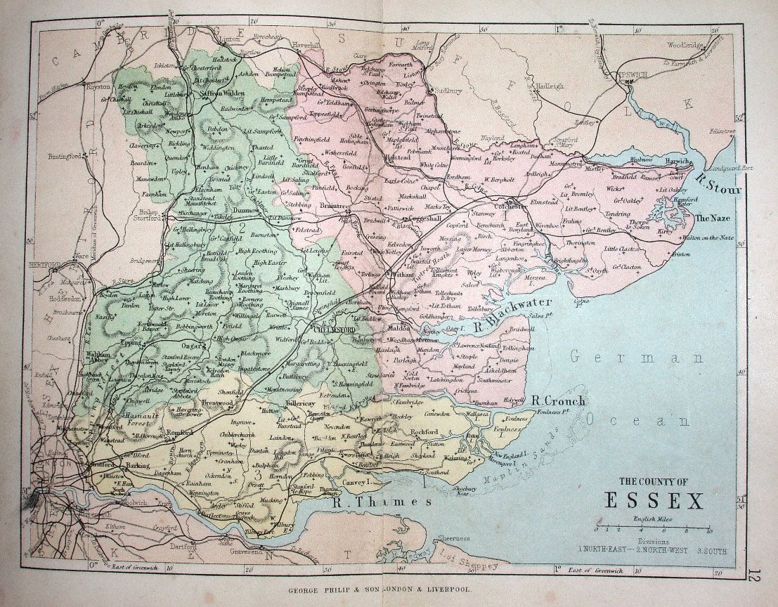
Philips' Handy Atlas of the Counties of England
Three Parliamentary Divisions coloured, railways and towns, but only major roads and larger villages.
Other examples of this map are 1882, 1886, 1890 and 1895. More details on Philips's maps are on the Publisher's page.
Scale correct at 10 miles = 30.5mm, or 8.4 miles/inch, ie 1:530,000.
The Handy Atlas was not published until 1873, but the railways are earlier - with a line from Bishops Stortford to Braintree (opened 1869) but no lines to or from Walthamstow (opened 1870 et seq).