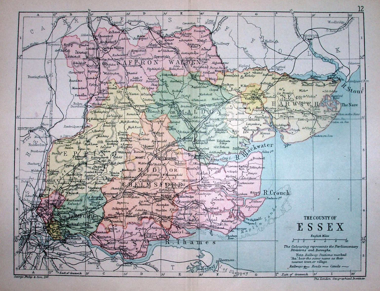
Philips' Handy Atlas of the Counties of England
The Parliamentary Divisons of 1885 are separately coloured, but without the green parks/estates of the (much larger) 1885 Philips map. Other examples of this map are 1873, 1882, 1886 and 1895. More details on Philips's maps are on the Publisher's page.
Scale correct at 10 miles = 30.5mm, or 8.4 miles/inch, ie 1:530,000.
The railway now continues beyond Laindon to Pitsea (opened 1886).