The table below lists maps of Essex in approximately chronological order, taken from the Philip's Atlases and individual County Maps. Philip's started in 1834 and continued until 1987, when it was acquired by Reed Publishing, and is now a brand (George Philip Ltd) within the Octopus Publishing Group (owned by Hachette Livre).
The dimensions against each cover and each map are Height x Width; for the maps, the measurements are of the outermost neat line of the map (not the size of the sheet of paper). Click on the thumbnails to get a larger picture and more information.
There were two sizes of county map; the colours on the dimensions below group maps of essentially the same size together.
The following is an approximate sequence of the county maps, based on David Smith's Victorian Maps of the British isles (1985) which covers up to 1900, George Philip's The Story of the Last Hundred Years (1934), RA Carroll's The Printed Maps of Lincolnshire 1576-1900 (1996), plus the Atlases and maps at CUL and my own collection of maps of Essex.
| Date | Title(s) | Approximate Dimensions |
Notes |
|---|---|---|---|
| 1834 | Philips' English County Atlas | ??? x ???mm | Republished to 1856 according to G Philip's own book, but no-one seems to have a copy. |
| 1856 | Philips' Popular series of County Maps | 335 x 415mm | Still going in 1881. RAC |
| 1857 | Philips' County Atlas of England & Wales | 335 x 415mm | Republished to 1873. DS |
| 1865 | Philips' Atlas of the Counties of England | 335 x 415mm | Still going in 1899. |
| 1872 | Philips' Educational Series of County Maps | 152 x 200mm | For use in schools. |
| 1873 | Philips' Handy Atlas of the Counties of England and Wales |
152 x 200mm | Still going in 1903. |
| 1881 | Supplement to the Pictorial World | 336 x 417mm | All other imprints removed. |
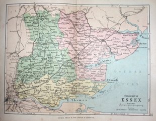
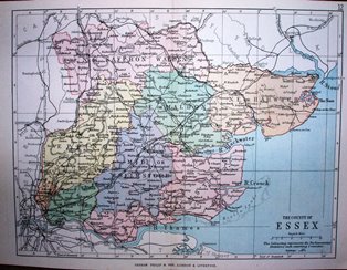
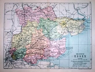
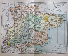
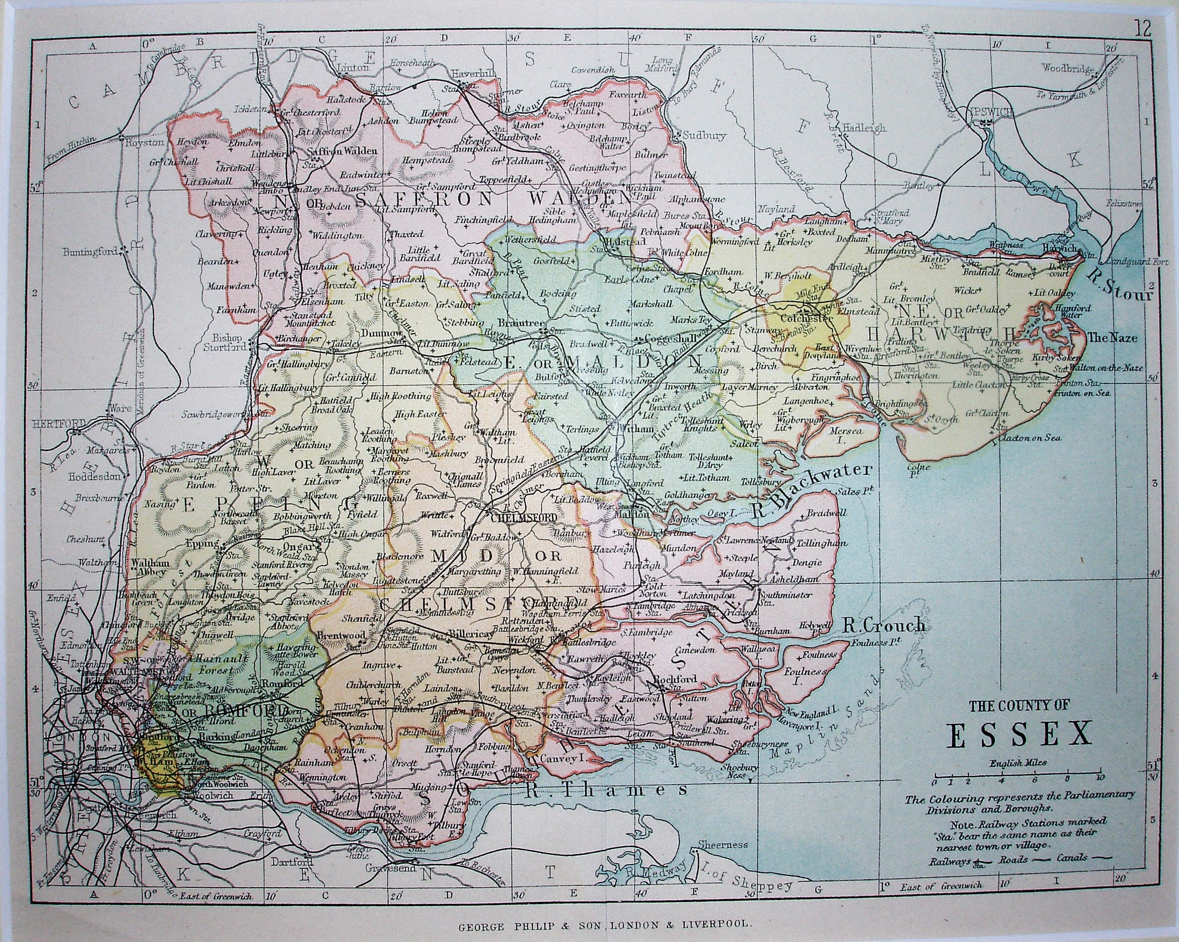
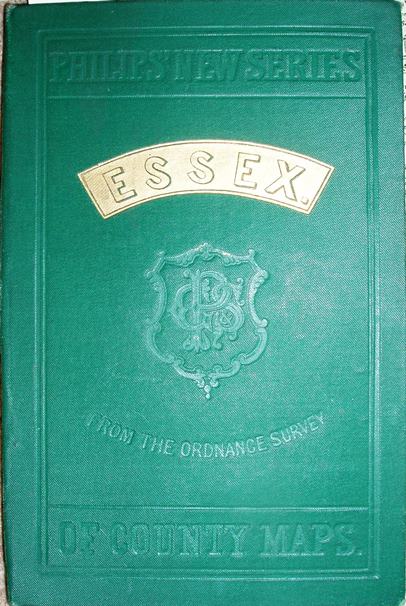
| 1881 | Philips' New Series of County Maps | 336 x 417mm | Still going in 1885 |
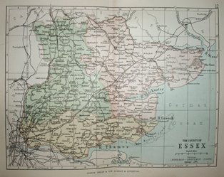
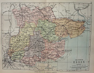
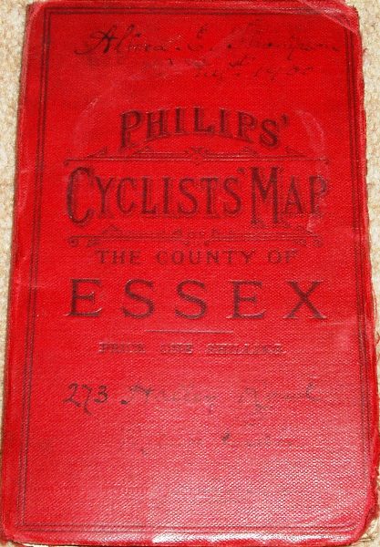
| 1884 | Philips' Cyclists Map of the County of [...] | 335 x 415mm | Still going in 1900. |
| 1900 | Philips' Atlas of the British Isles | 335 x 415mm | Still going in 1904. |
| 1903 | Philips County Cycling Maps of England & Wales |
458 x 571mm | Larger map & larger scale than earlier folding maps |
| 1908 | Philips' Handy Administrative Atlas of the British Isles |
152 x 200mm | Was still going in 1930. |
| 1909 | Philips' Handy Atlas & Gazetteer of the British Isles |
152 x 200mm | Was still going in 1921. |
| 1910 | Philips' Model County Maps | 152 x 200mm | Lots of text for schools, in Junior and Senior versions. |
Philips New Series of County Maps
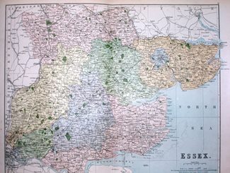
Cyclists Map of the County
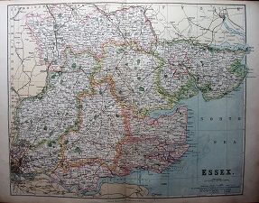
Philips' New Series of County Maps
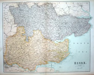
Essex (1881) of Essex (1884) Essex (1885)
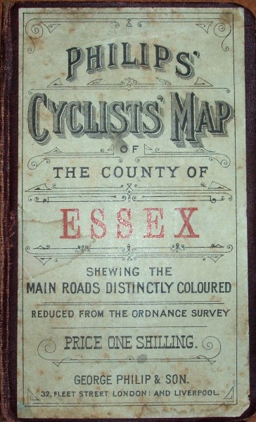
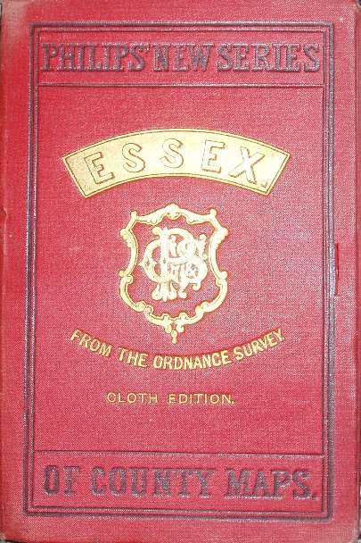
154 x 102mm for 336 x 417mm 157 x 99mm for 334 x 416mm 153 x 102mm for 335 x 415mm
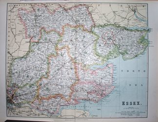
Cyclists Map of the County
Cyclists Map of the County
of Essex (1888) of Essex (1893)

156 x 96mm for 336 x 418mm 156 x 96mm for 336 x 418mm
Cyclists Map of the County
Philip's County Cycling Maps
of Essex (1900) of England & Wales (1903)

156 x 96mm for 336 x 418mm 195 x 104mm for 458 x 571mm
Philips 10 Sheet Road Map
4 (East Anglia 1930)
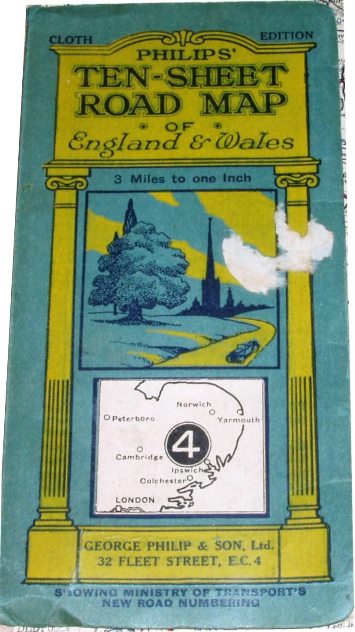
196 x 98mm for 881 x 735mm
Addresses:
1835-79* South Castle Street, Liverpool
1856-79* 32 Fleet Street, London
Their London address continued as 32 Fleet Street, London
Their Liverpool address continued as:
49 & 51 South Castle Street, Liverpool, and as
Caxton Buildings, South John Street, Liverpool
The firm continued to describe itself as being "London and Liverpool" into the 20th century.
When it opened new offices and factory in London in 1901, it henceforward used the imprint "The London Geographical Institute".
*Taken from British Map Engravers, Worms & Baynton-Williams.
International Map Collectors' Society Journals
There have been two articles on Philips Road Maps in the IMCoS Journals: Issue 84 (Spring 2001), pp 17-25; and Issue 85 (Summer 2001), pp 19-30. These can be read on the Journal page of the www.imcos.org website if you are a member of IMCoS; non-members can only read the contents pages of the Journals - a good reason to join!
Return to the Map publishers main page.