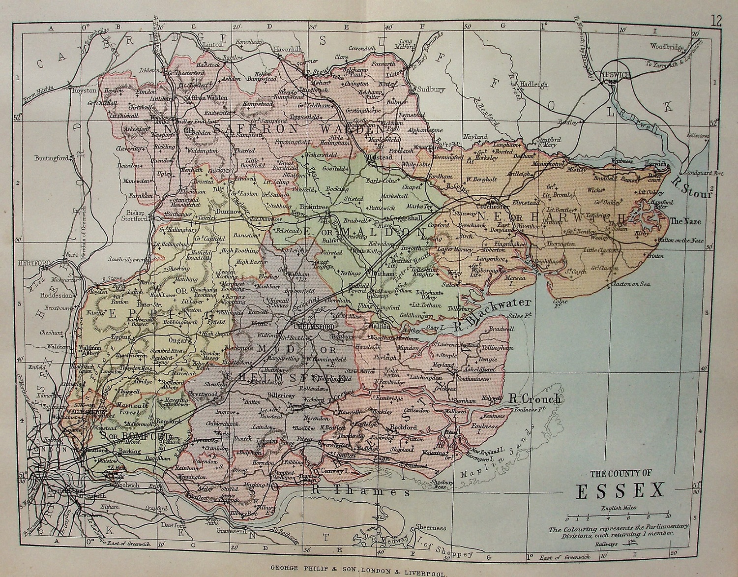
Philips' Handy Atlas of the Counties of England
The new Parliamentary Divisons of 1885 are separately coloured, but without the green parks/estates of the (much larger) 1885 Philips map.
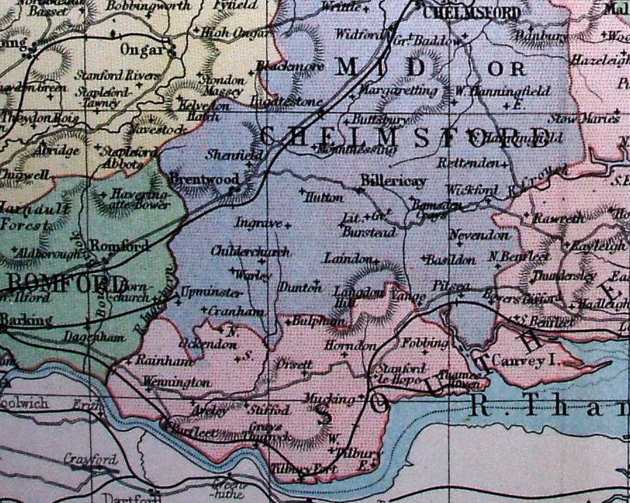
In 1885 the railway terminates at Upminster, but ...
Scale correct at 10 miles = 30.3mm, or 8.4 miles/inch, ie 1:530,000.
More details on Philips's maps are on the Publisher's page.
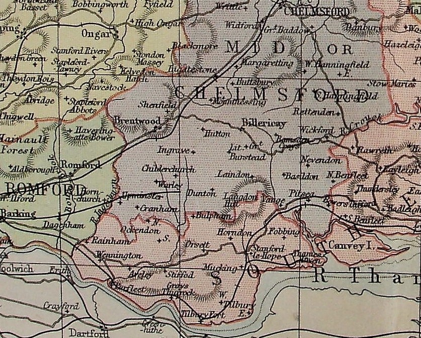
... later it goes beyond Upminster, for just a few miles.