The Atlas of the British Isles
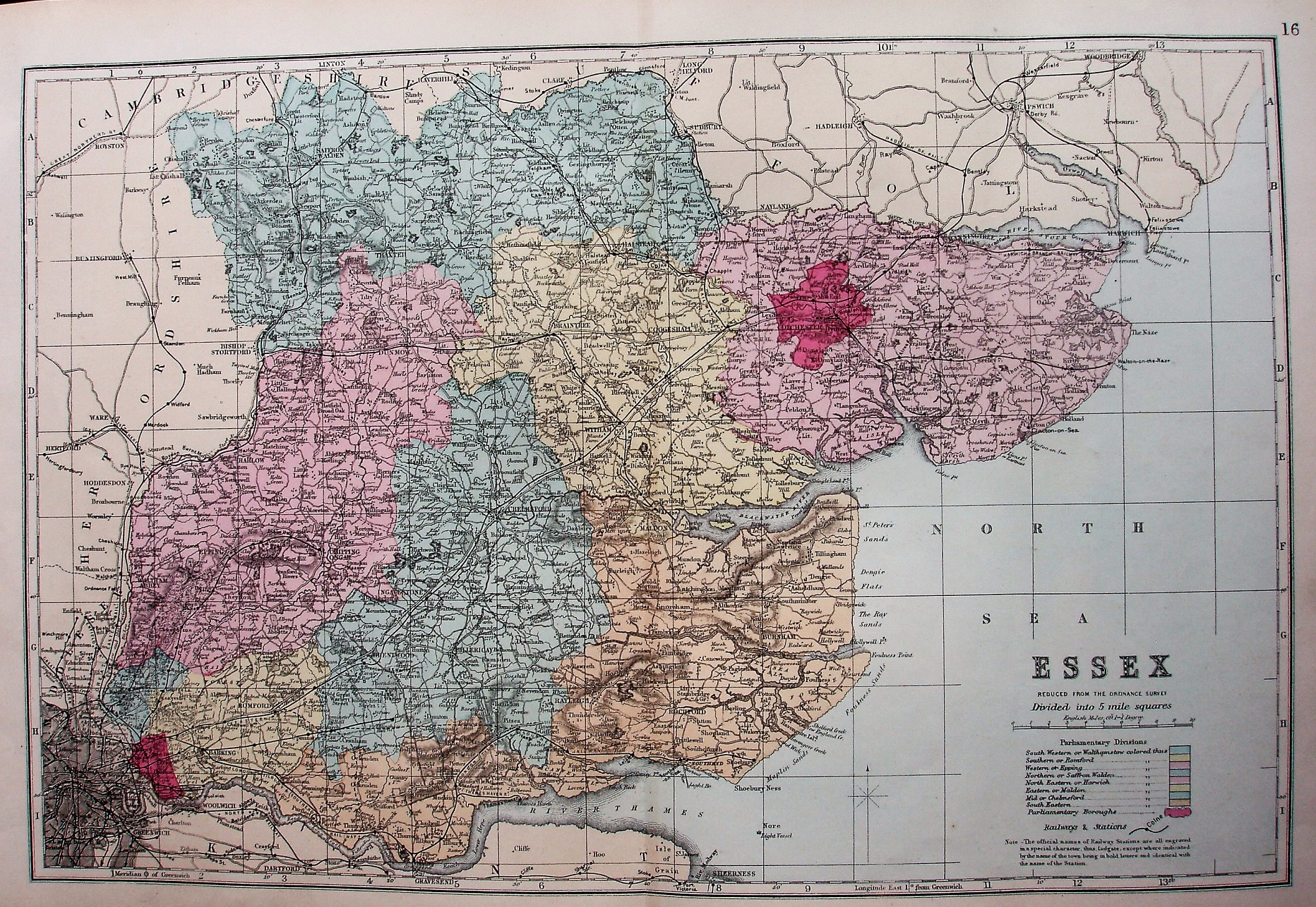
The most prominent feature are the bright colours for the Parliamentary Divisions, as used from 1885, which retained Colchester as a separate Division. There is a "16" in the top right corner, its sheet number in the atlas.
More details on Bacon's maps are on the Publisher's page.
Scale correct at 10 miles = 63mm, or 4.0 miles/inch, ie 1:255,000.
The railway is shown from Southend to Shoeburyness (opened 1884) and from Barking to Upminster (opened 1885), but the line from Upminster towards Laindon is only shown as open for about half the distance (authorised 1882, opened 1885) - and furthermore there is a (slightly different) dashed line from Upminster to Pitsea albeit missing Laindon (also authorised 1882, but opened 1888); there are also dashed lines from Romford to Upminster to Grays Thurrock (both authorised 1883, and opened 1893/92). There is no explanation of the dashed railway line in the key - in later maps there is explaining these as "in progress".