Pigot & Co's London and Provincial New Directory (unknown edition)
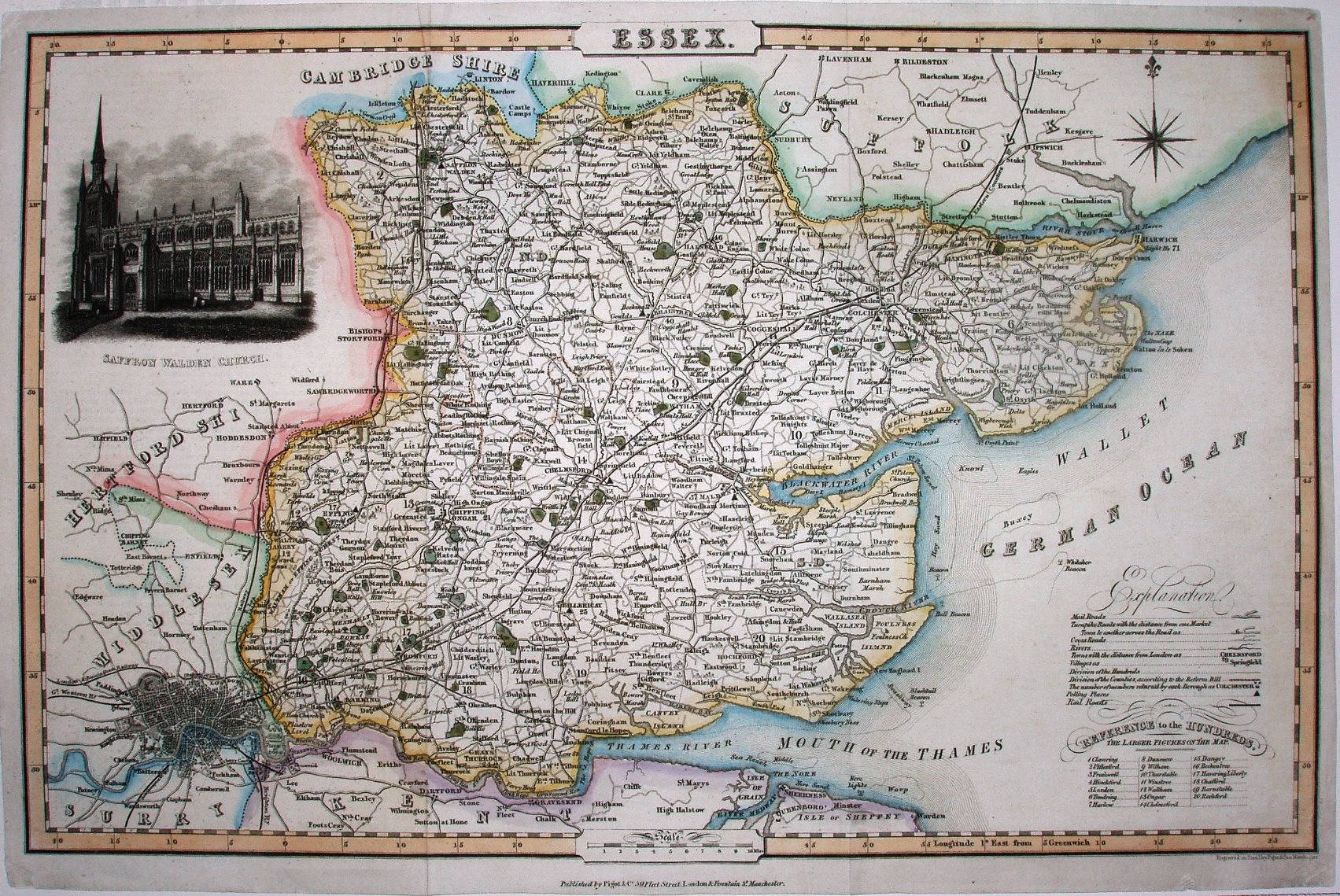
Pigot & Co's Directory was first published in 1822, but only had maps from the 3rd edition in 1826; unlike the 1832 version, this edition has added railways - all very schematic and including the authorised but never built Romford to Shellhaven. The map was used unchanged by Slater.
Displayed scale of 10 miles = 44mm, or 5.8 miles/inch; actual scale = 6.0 miles/inch, or 1:380,000.
The maps were used in the Directory and also in Pigot & Co's British Atlas (1831 to 1857) and in Slater's New British Atlas (1846 to 1857).