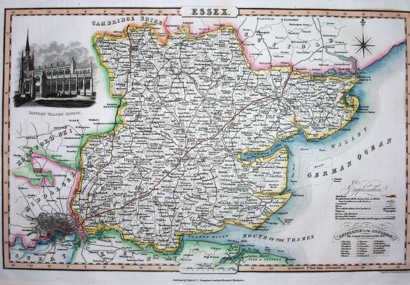
Pigot & Co's London and Provincial New Directory (5th edition)
Pigot & Co's Directory was first published in 1822, but only had maps from the 3rd edition in 1826; this is from the 5th edition of 1832 (see also 1837).
Displayed scale of 10 miles = 44mm, or 5.8 miles/inch; actual scale = 6.0 miles/inch, or 1:380,000.
The maps were used in the Directory and also in Pigot & Co's British Atlas (1831 to 1857) and in Slater's New British Atlas (1846 to 1857).