New British Atlas
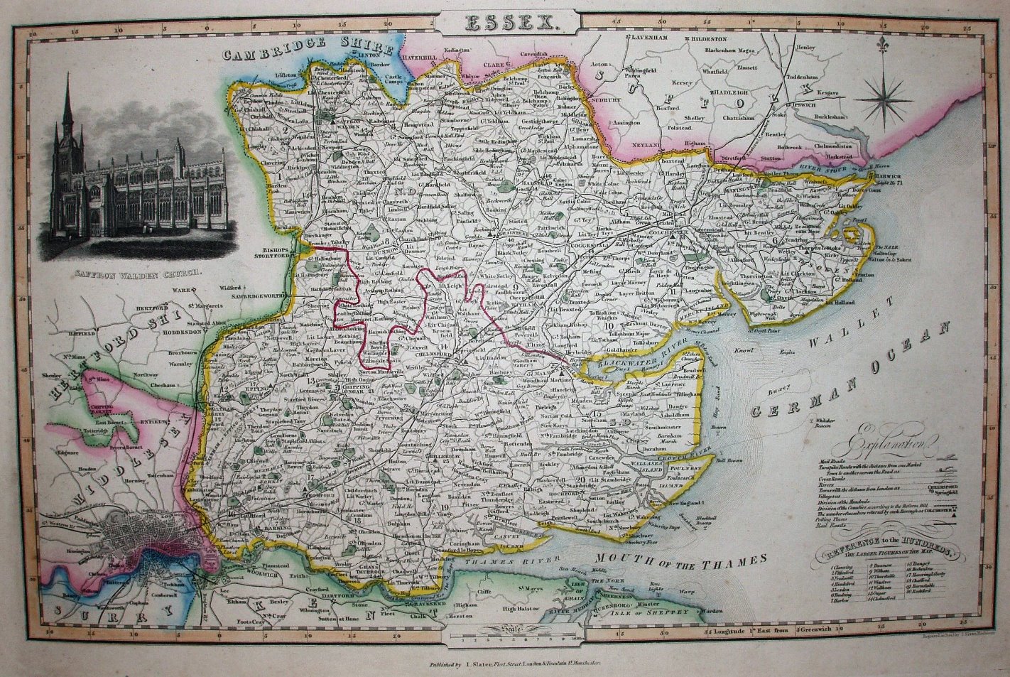
It's the Pigot 1837 map, but with railways past Saffron Walden (opened 1845) and past Colchester into Suffolk (opened 1846).
Displayed scale of 10 miles = 49.7 miles, or 5.1 miles/inch; actual scale = 5.9 miles/inch, or 1:375,000.
The few railways suggests this is from an early edition of Slater's Atlas (re-issues up to 1857).