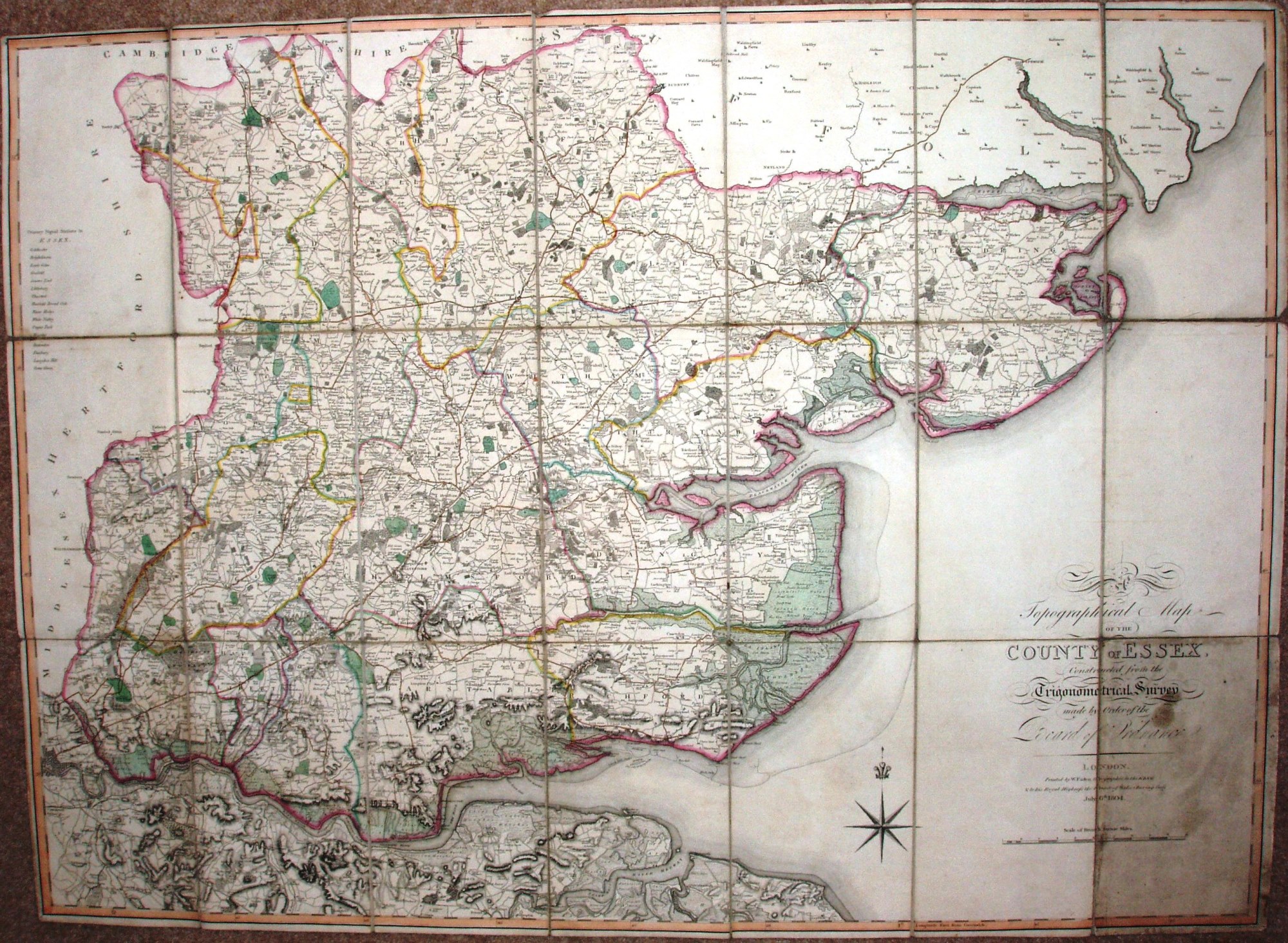
A Topographical Map of the County of Essex
A detailed map showing roads, marshes, hills, woods, parks, heaths, commons, larger houses and farms, mills, a few inns, and most other features found on the first edition of the Ordnance Survey map. Table of primary signal stations in Essex. Latitude and longitude from Greenwich.
The map is re-issued by Wyld in 1868.
Scale correct at 10 miles = 127mm, or 2.0 miles/inch, ie 1:125,000.
The triangulation of Essex was completed in 1797-99, and the OS one inch map of the county was published in 1805. Faden, as engraver and publisher to the Trignometrical Survey, had access to its data.