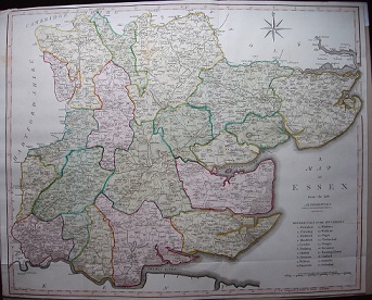
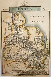
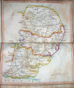
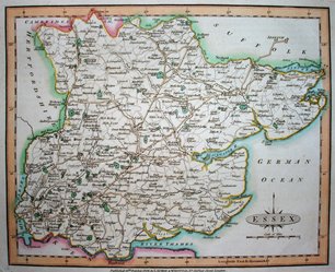
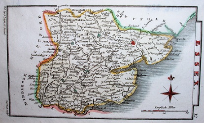
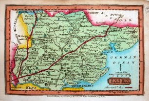
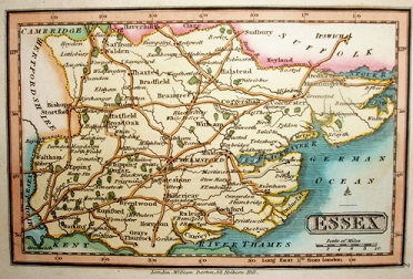
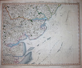
The table below lists flat maps of Essex in approximately chronological order; these are taken from Atlases, or in a few cases were published as maps of Essex alone. There is a link from each entry to a large picture.
Shown against items are the item numbers in reference books - eg Chubb 401 means item 401 from the Chubb refence book and Roger 120 means item 120 in the Roger book listed on the Books page.
The dimensions against each map are Height x Width, and as Essex is a little wider than it is tall the width is usually greater - assuming the map has north at the top. The measurements are of the outermost neat line of the map (not the size of the sheet of paper).
| Thumbnail maps |
Mapmakers, their Atlases and Maps |
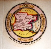 |
J Luffman
A New Pocket Atlas and Geography of England & Wales Chubb 308
1803 61mm diameter circle
Genuinely tiny. |
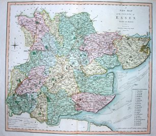 |
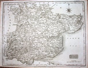
Charles Smith
Smith's New English Atlas Chubb 311
1804 453mm x 504mm
The first set of county maps using Greenwich for the prime meridian. |
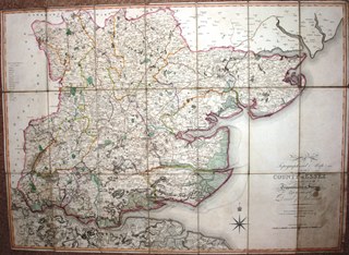 |
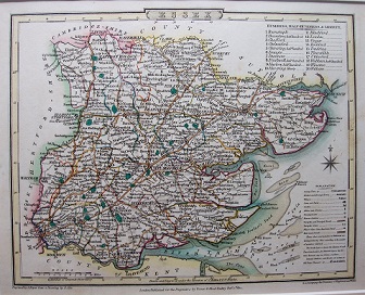
William Faden
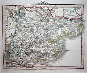
A Topographical Map of the County of Essex Roger 127
1804 627mm x 869mm
Engraved and published by Faden, using OS data for 1st time. |
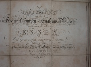 |
Ordnance Survey
Part One of the General Survey
1805 1,240mm x 1,860mm
The Board of Ordnance's first published map. |
 |
John Cary
New British Atlas Chubb 319
1805 427mm x 534mm
Cary continuing to publish old and pre-OS maps. |
 |
John Cary
Travellers' Companion Chubb 275
1806 145mm x 93mm
A re-cut plate as the original had worn out. |
 |
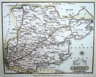
RH Whittle
New Traveller's Companion
1806 307mm x 255mm
More a road atlas than a "map". |
 |
Laurie & Whittle
New & Improved English Atlas Chubb 294
1807 184mm x 224mm
More use of old maps. |
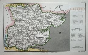 |
R Philips
Topographical Dictionary of the United Kingdom not in Chubb
1807 104mm x 178mm
First published, and very rare. |
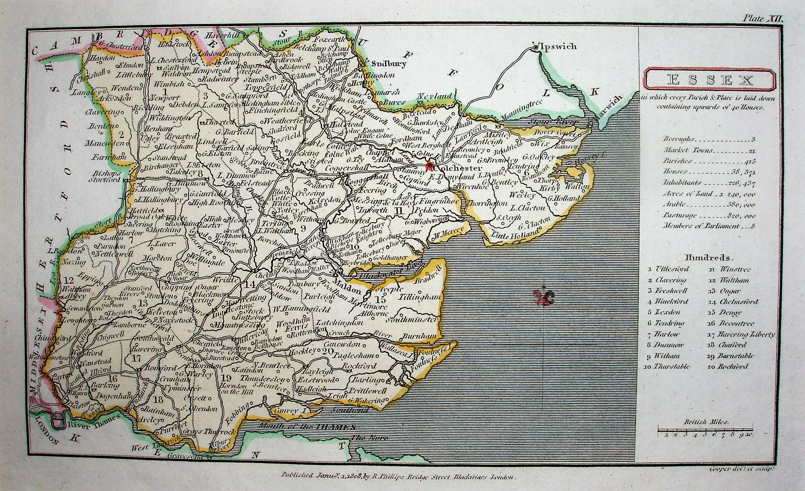 |
Benjamin Pitt Cappers
Topographical Dictionary of the United Kingdom Chubb 327
1808 102mm x 176mm
Usually called the "first", and quite common. |
 |
Charles Smith
Smith's New English Atlas, 2nd edition Chubb 312
1808 453mm x 504mm
Second edition more elegant than the first. |
 |
John Cary
New English Atlas Chubb 333
1809 484mm x 540mm
Cary's largest county maps. |
 |
Cole & Roper
The British Atlas Chubb 339
1810 175mm x 223mm
Book maps now in own atlas. |
 |
J Wallis
New Pocket Edition of the English Counties Chubb 344 ?
1810 133mm x 95mm
Rather similar to Cary's Traveller's Companion. |
 |
J Wilkes
Encyclopaedia Londoniensis Chubb 345
1810 188mm x 233mm
Part work gets to Essex. |
 |
J Wallis
Wallis's New British Atlas
1813 173mm x 256mm
Map to get published many times for years to come. |
 |
Cole & Roper
Nightingale's English Topography
1816 175mm x 224mm
Nightingale's atlas using Cole & Roper maps unchanged.. |
 |
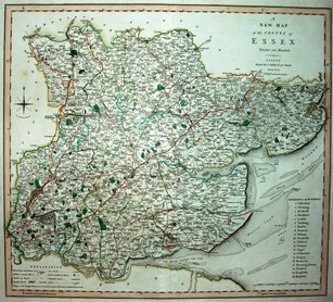
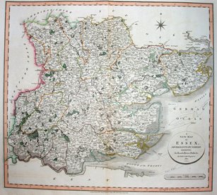
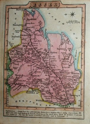
Darton & Dix
A New Map of the County of Essex
1816 355mm x 545mm
Separate map pre-dating its atlas. |
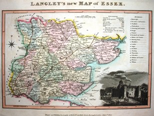 |
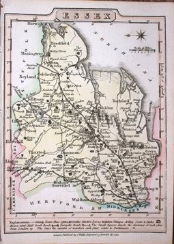
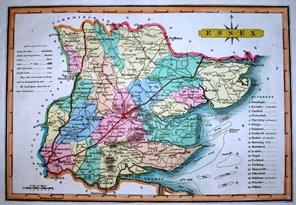
E Langley
New County Atlas
1817 169mm x 256mm
Clear map, with an Explanation and a vignette. |
 |
Sidney Hall
Excursions through Essex, Vol 1
1818 147mm x 213mm
The first of Hall's several maps of Essex. |
 |
G Ellis
New & Correct Atlas of England and Wales
1819 173mm x 253mm
Wallis's map in brighter colours. |
 |
J Robins
Robin's Atlas of England & Wales
1819 196mm x 249mm
Cundee/Neele map in one Atlas. |
 |
Dugdale / Neele / Cundee
New British Traveller
1819 196mm x 249mm
Cundee/Neele map in 2nd Atlas. |
 |
W Lewis
Lewis's new Traveller's Guide
1819 133mm x 94mm
Wallis's 1810 map lives on. |
 |
S Leigh / Hall
New Atlas of England and Wales
1820 70mm x 115mm
Small maps that will be used in 3 atlases. |
 |
J Wallis
The Panorama, or Traveller's Instructive Guide
1820 69mm x 105mm
Compare to map below. |
 |
W Darton
Darton's Miniature Atlas
1822 70mm x 106mm
Compare to map above. |
 |
G&J Cary
Cary's Improved Map of England and Wales
1822 501mm x 638mm
Cary's 2nd, and larger, standard scale atlas. |
 |
Charles Smith
Smith's New English Atlas
1822 184mm x 230mm
Same name, but smaller than before. |
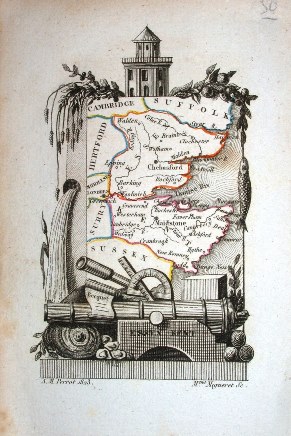 |
AM Perrot
Description Hist. et Topographique
1823 61mm x 48mm
The smallest "county" map of Essex. |
 |
GC Gray
Gray's New Book of Roads
1824 123mm x 106mm
Small map with bizarre claim. |
 |
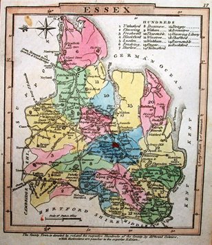
G & WB Whitaker
The Traveller's Pocket Atlas
1824 127mm x 158mm
Clear, because less detail. |
