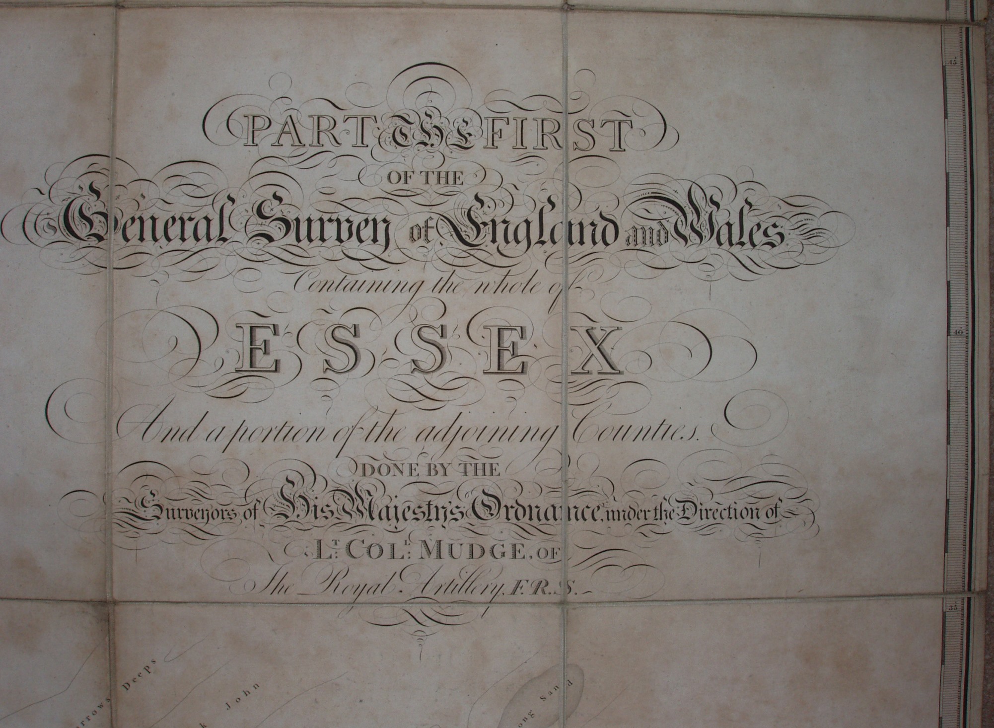
Part the First of the General Survey of England and Wales
Whilst Kent had been surveyed first, it was engraved and published by Faden. Essex was the second surveyed and the first county to be engraved and published by The Surveyors of His Majesty's Ordnance, which from 1810 stated calling itself The Ordnance Survey on maps.
The full list of actually surveyed maps have their own page.
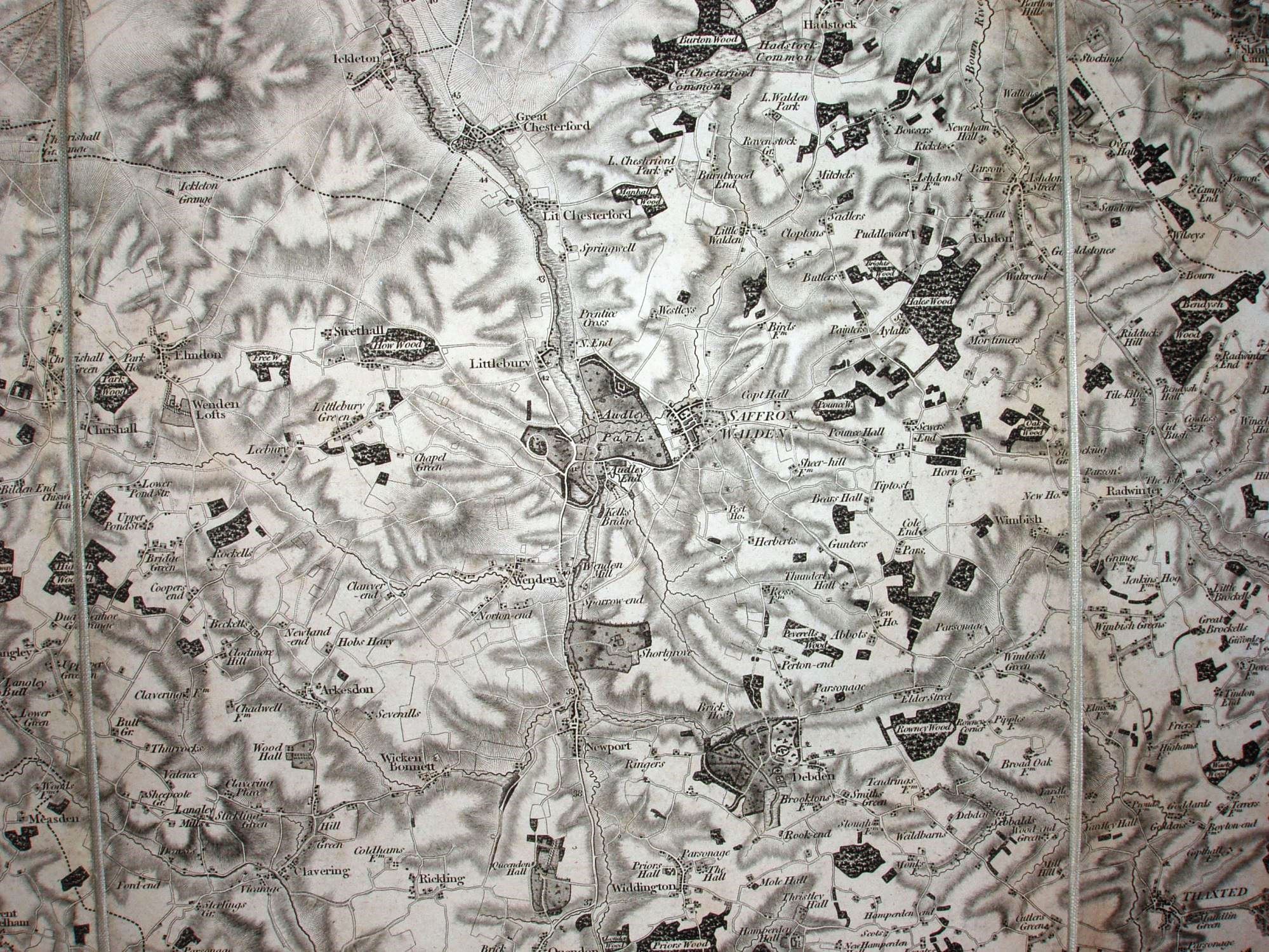
Scale: 1:63,360.
The county was covered in four sheets, numbers 47 (north west), 48 (NE), 1 (SW) and 2 (SE). These were sold separately, and as a single very large "county set". It appears that whilst the military were the driving force in getting the surveying done and the sheets published, there was some idea that the public would want a "County Set" for each county, as that is how maps had been sold up to that time. These died out after a couple more counties were published.