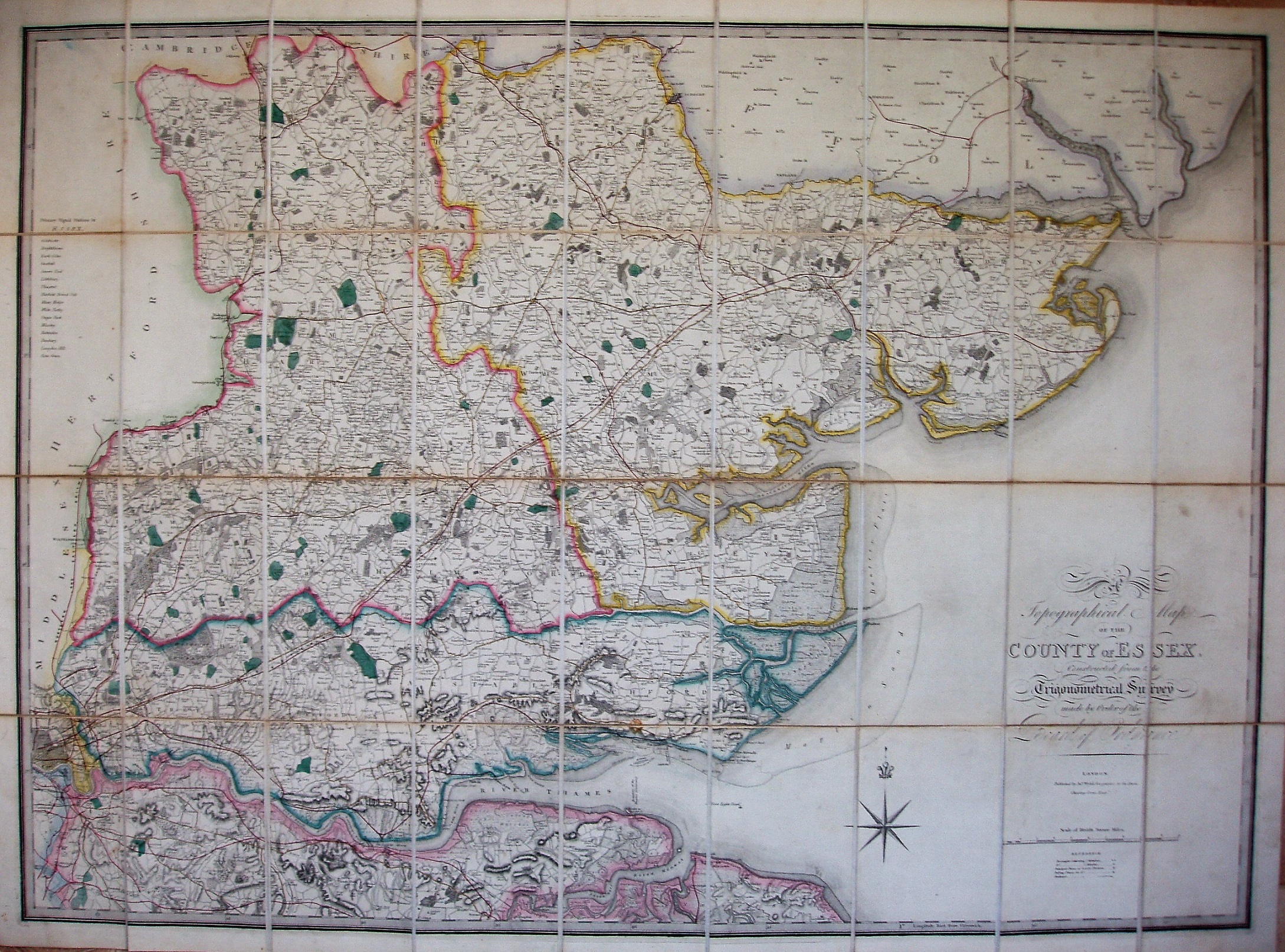
A Topographical Map of the County of Essex
This is the map published by Faden in 1804. Faden's stock eventually passed to Wyld, who had issued it in 1844 with a very few railways, and then again in 1868, having added the (new) three Parliamentary Divisions and many more railways. The map retains the table of primary signal stations in Essex, plus latitude and longitude from Greenwich.
Scale correct at 8 miles = 100mm, or 2.0 miles/inch, ie 1:125,000.
The railways include the line to Waltonon-the-Naze (opened 1867) and the Saffron Walden to Bartlow line (also 1867), but not the Bishops Stortford to Braintree line (1869); it does, however, have the Walthamstow branch (1870).
The triangulation of Essex was completed in 1797-99, and the OS one inch map of the county was published in 1805. Faden, as engraver and publisher to the Trignometrical Survey, had access to its data.