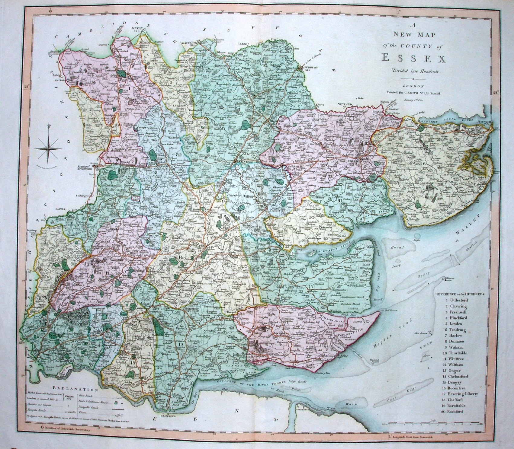
Smith's New English Atlas
Longitude shown from Greenwich, the first published Atlas to do so on county maps; the Cary county maps were not published in an Atlas until 1809. Both Smith's Essex and Cary's Essex are, however, dated 1801. Further "firsts" concerning the longitudes are on the Meridians page.
Major roads - meaning Turnpikes - are coloured.
Scale correct at 1+10 miles = 95mm, or 3.0 miles/inch, ie 1:188,000.
The maps were first published Smith's New English Atlas in 1804 despite the maps being dated 1801, and without the 'Jones & Smith sculp. Pentonville.' under the compass rose. The map was then re-dated 1804 and the 'Jones & Smith sculp. Pentonville.' added under compass rose at some point, and then "corrected to 1808" added for the 2nd edition of the Atlas. Further editions were published in 1816, 1821, 1827, 1832, 1834 and 1846, and possibly others. From the 1832 edition the 'Jones & Smith sculp. Pentonville.' was removed from under compass rose.
Smith issued a reduced size version in 1822.