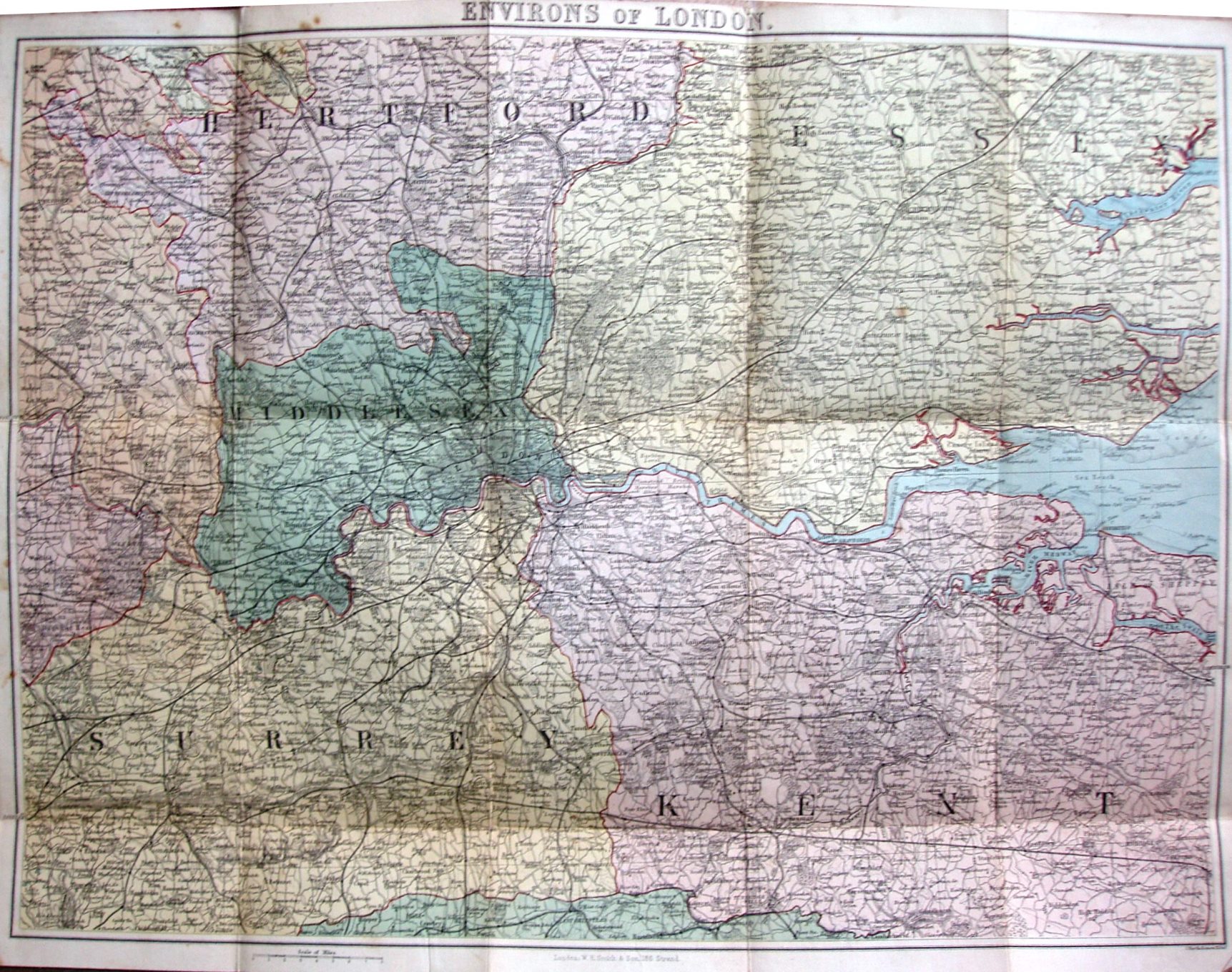
WH Smith's Reduced Ordnance Map of London and Environs.
Counties centred on London coloured, with a bright red line to edge the counties, including the coast line. Extends about 26 miles north and south of St Pauls, about 30 miles west and 44 miles east; in Essex gets to Dunmow, Peldon and Foulness.
There is no key to the symbols. Price One Shilling on Cloth; hard covers.
Scale of 8 miles = 49.5mm, or 4.0 miles/inch, ie 1:255,000.
Railway lines include Central Woolwich Dock extension (opened 1880), but not the Southend to Shoeburyness line (1884).
London WH Smith & Son, 186 Strand J Bartholomew, Edinr.