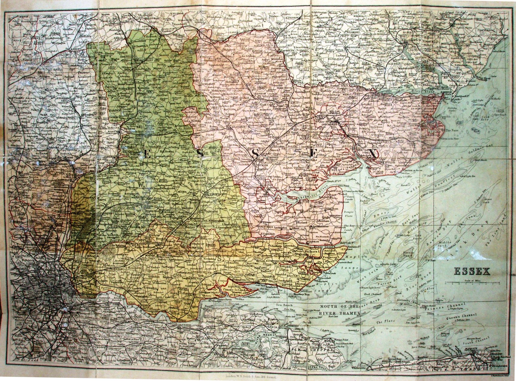
WH Smith's Reduced Ordnance Map of Essex.
The 1868-85 Parliamentary Divisions are coloured, with a bright red line to edge the Divisions and the county, including the coast line.
There is no key to the symbols. Price One Shilling on Cloth; hard covers.
Scale correct at 8 miles = 50mm, or 4.0 miles/inch, ie 1:255,000.
London WH Smith & Son, 186 Strand J Bartholomew, Edinr.
Railway lines include Thorpe-le-Soken to Clacton (opened 1882), but not Parkestone Quay station (also 1882) or the Southend to Shoeburyness line (1884).