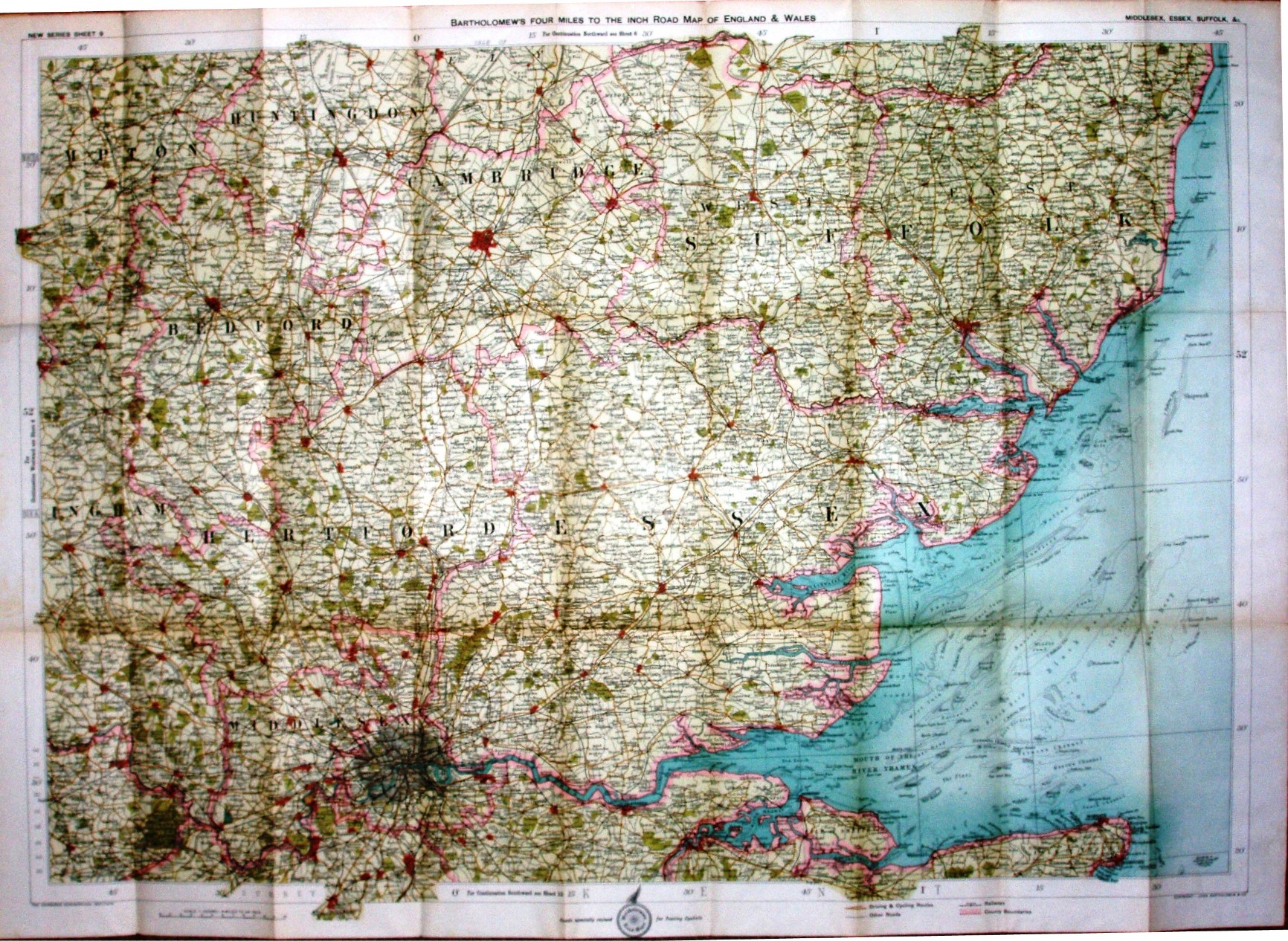
New Series Sheet 9 - Bartholomew's Four Miles to the Inch Road Map of England & Wales - Middlesex, Essex, Suffolk, &c.
Folding map in booklet, covering Essex, Suffolk, Middlesex, Hertfordshire and Cambridgeshire. Paper. Price One Shilling Net.
Roads specially revised for Touring Cyclists. Copyright - John Bartholomew & Co. Reverse of cover has advert for Bartholomew's 4 Miles to the Inch Road Map of England & Wales.
Scale correct at 12 miles = 75.5mm, or 4.0 miles/inch, ie 1:255,000.
The railway lines include the Tollesbury Pier line (opened 1907) but not the Thaxted branch (1913); prices indicate 1912-1918, and from this and the CTC roundel and revision message an estimated date of 1911 (no code).