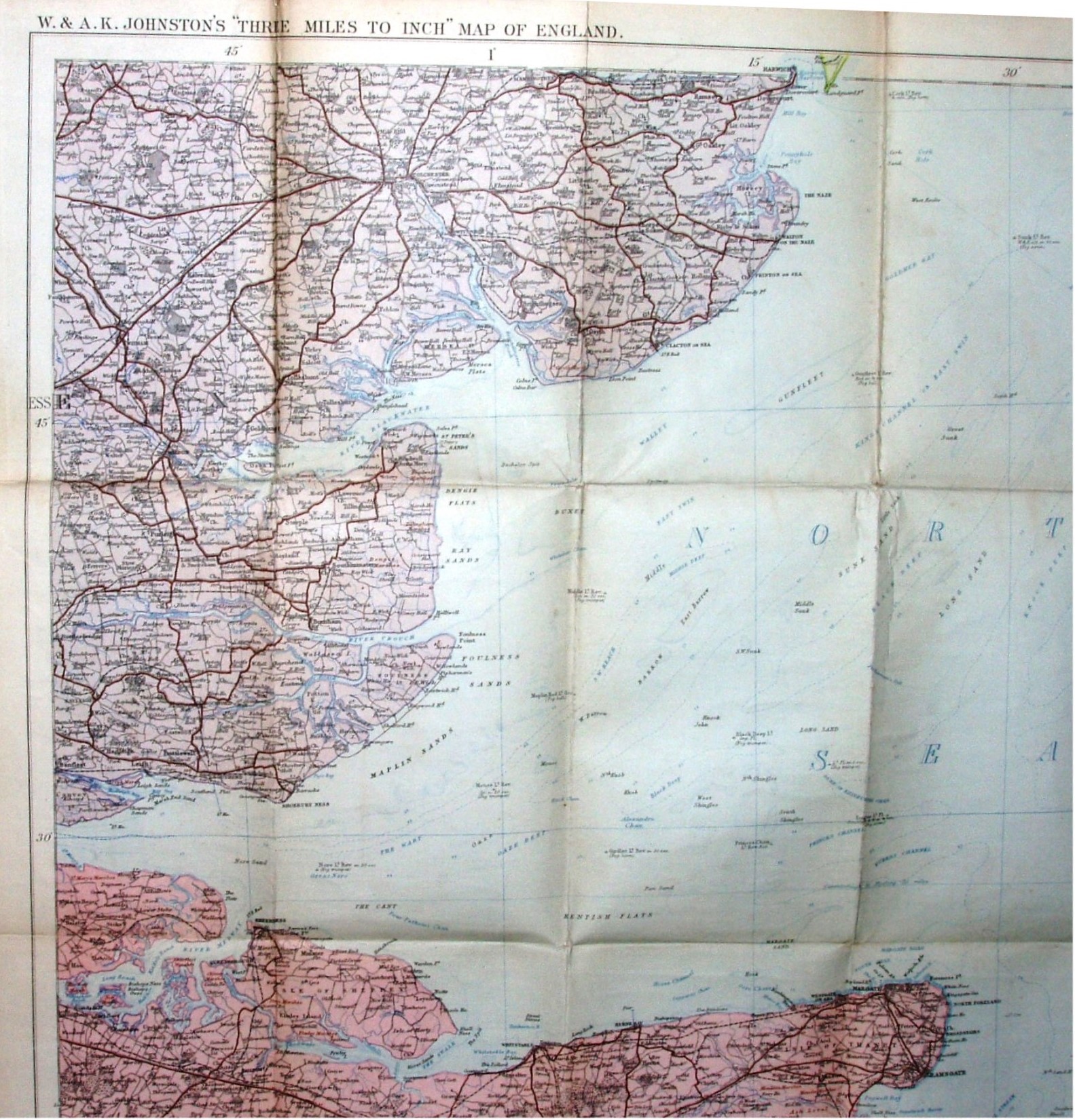
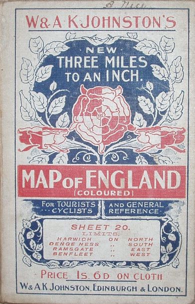
New Three Miles to an Inch Map of England, Sheet 20
Essex as far north as Thaxted - Harwich. Over half the map is sea - so not great value.
More details on Johnston's maps are on the Publisher's page.
Displayed scale of 9 miles = 76.4mm, or 3.0 miles/inch, ie 1:190,000.
Does not have the Kelvedon to Tollesbury line (opened 1904), but it was only a light line and cartographers were slow with those.
Has advert on the back hard board cover for their "World-Wide Atlas" featuring 128 plates, which was the 7th edition of 1905 - and hence the estimated date