
The table below lists W & AK Johnston's atlases and maps of Essex (or regional England containing Essex) in approximately chronological order, followed by images of their maps based on my own collection of maps of Essex.
The dimensions against each cover and each map are Height x Width; for the maps, the measurements are of the outermost neat line of the map (not the size of the sheet of paper).
| Dates | Title(s) | Approximate Dimensions |
Notes |
|---|---|---|---|
| 1878 | Johnston's 3rd Standard Atlas & Geography: England & Wales | 164 x 112mm | Plate 5 is regional map of Norfolk, Suffolk, Essex and Cambridgeshire. |
| 1889 | Modern County Atlas of England & Wales | 177 x 245mm | Convential county atlas map. |
| 1892 | World-Wide Atlas of Modern Geography | 190 x 270mm | First published in 1892 with 112 plates, in the 7th edition of 1905 had 128 plates including regional ones for England & Wales. |
| 1897 | Victoria Regina Atlas | 197 x 263mm | Slightly larger plates than the World-Wide Atlas, and with regional maps for England & Wales. In 1897 we were on Section 7, with Section 9 (SW England) on the reverse. |
| 1901 | Victoria Atlas | 200 x 264mm | The second edition changed its name slightly, and renumbered the maps. In 1901 we were on Section 9, with Section 8 (SW England) on the reverse. |
| 1905 | New Three Miles to an Inch | 617 x 484mm | For Tourists, Cyclists and General Reference - it says. |
| 1923 | The "Way To" Motoring & Cycling Map | 484 x 620mm | London and The East - has three mile radius curves from St Paul's. |
| 1938 | Motoring and Hiking Map | 613 x 488mm | Same scale and size, but with a new focus. |
| 1947 | Johnston's Readyfold Map | 842 x 557mm | Same scale as above, but larger map. |
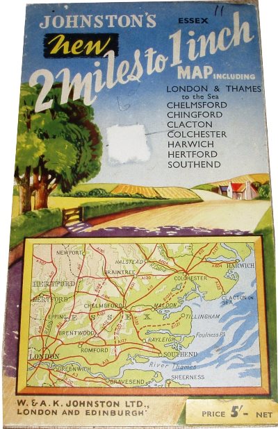
| 1952 | New 2 Miles to 1 Inch | 547 x 866mm | About the same size map, but larger scale. |
New Three Miles to an Inch
Map of England Sheet 20, 1905
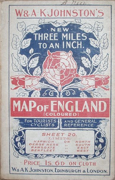
170 x 102mm for 617 x 484mm
Motoring and Hiking Map,
Section K, 1938
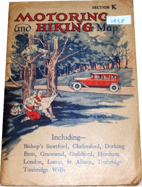
183 x 128mm for 614 x 488mm
Motoring and Hiking Map,
Section KK, 1936
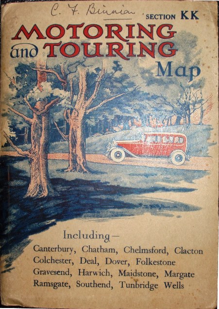
184 x 127mm for 612 x 487mm
Motoring and Hiking Map,
Section KK, 1944
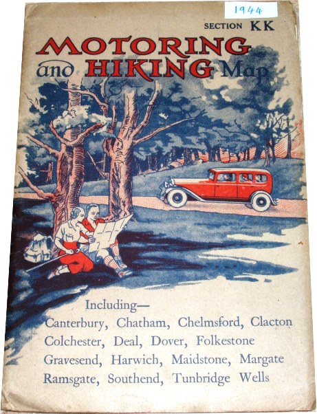
184 x 127mm for 612 x 487mm
Johnston's Readyfold Coloured
Touring Map, 1947
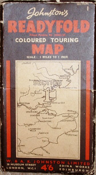
184 x 101mm for 842 x 557mm
Johnston's New Two Miles to
1 Inch Road Map, 1952
194 x 111mm for 547 x 866mm
Johnston's New Two Miles to
1 Inch Road Map, 1952
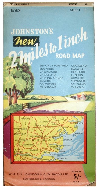
241 x 119mm for 547 x 866mm
Addresses:
In 1905: Edina Works, Easter Road, and 20 South Saint Andrew Street, Edinburgh, plus 5 White Hart Street, Warwick Lane, London EC.
By 1947: 30 Museum Street, London WC1
Mostly just "London and Edinburgh".
International Map Collectors' Society Journals
There have been two articles on W&AK Johnston in the IMCoS Journals: Issue 82 (Autumn 2000), pp 9-19; and Issue 86 (Autumn 2001), pp 5-16. These can be read on the Journal page of the www.imcos.org website if you are a member of IMCoS; non-members can only read the contents pages of the Journals - a good reason to join!
Return to the Map publishers main page.