New County Atlas
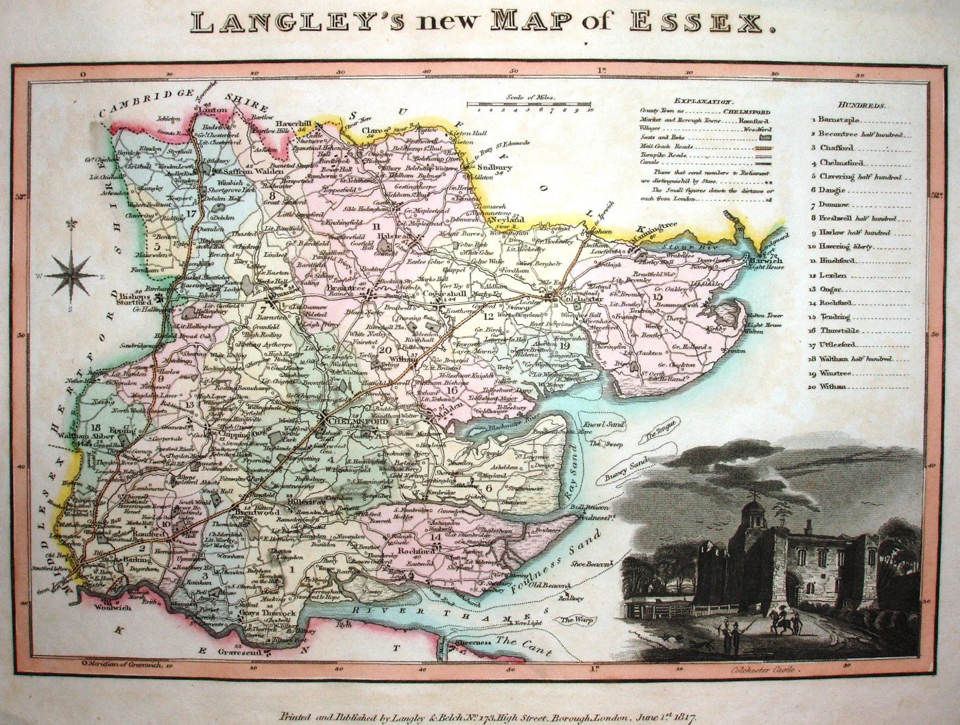
Shows towns and major villages, rivers and roads - highlighting turnpikes and Mail Coach rods. Vignette of Colchester Castle. Longitude from Greenwich. "Printed and Published by Langley & Belch, No 173, High Street, Borough, London. June 1st 1817."
Displayed scale of 10 miles = 33mm, or 7.75 miles/inch; actual scale = 7.9 miles/inch, or 1:500,000.
Published in Langley's New County Atlas in 1818, re-issued as Phelp's Atlas in 1820.