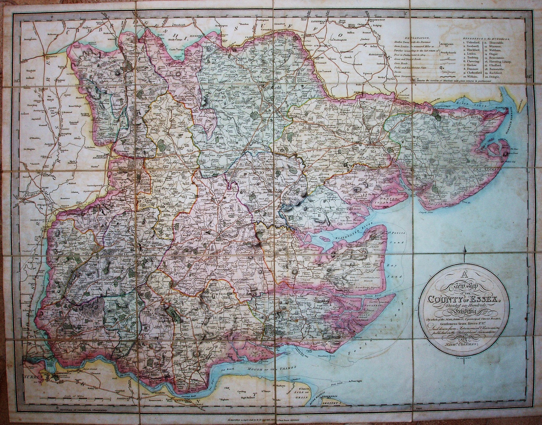
A New Map of the County of Essex
Coltman's map was first published in 1807 by Laurie and Whittle, and here it is reissued in 1828 with Laurie as the sole publisher.
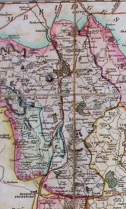
The Hundreds are numbered and colour washed & edged. There is a table of Hundreds, plus an Explanation table.
The intriguing aspect of this map is the presence as a thick black line of the London & Cambridge Junction, ie the canal proposed in 1810 (& again in 1820, having earlier being proposed over almost the same route in 1790). It never got beyond the proposal stage; it does appear, however, on the Collins 1852 map.
Scale correct at 9 miles = 94.5mm, or 2.4miles/inch, ie 1:150,000.