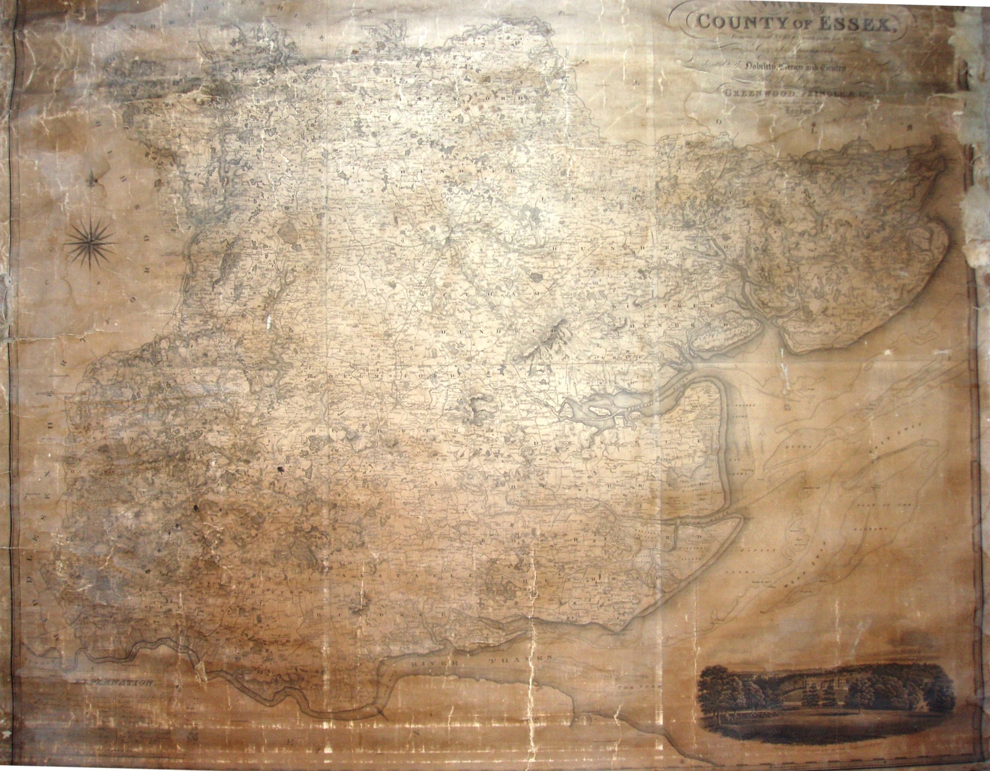
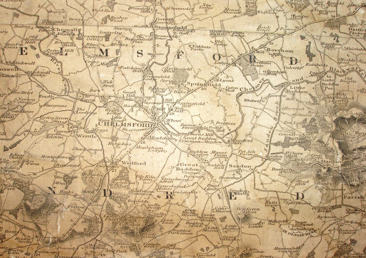
Map of the County of Essex
At the same scale as the first one inch Ordnance Survey map, this was published 20 years after that so has some changes in detail. It also shows turnpike roads and toll-bars, unlike the OS, and was the first county map to show parish boundaries - but not necessarily accurately.
The full list of actually surveyed maps have their own page.
Scale 1:63,360.
The maps were issued as a single sheet on a roller (as in this case) and as two or six flat sheets. The Greenwoods were the last private surveyors of whole counties - from then on everyone used the OS materials (with or without permission).