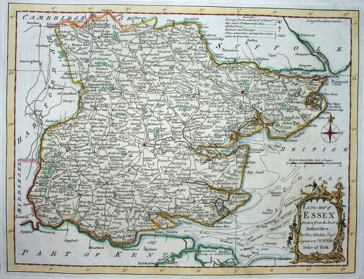
England Illustrated
R & J Dodsley published this 2 volume topographical work in 1764 (Essex is in volume 1), mostly using text from Camden, Speed & others, plus Kitchin maps based on the Large English Atlas.
The whole work was then re-issued as a part work from 1764 to 1765.
This publication seems not to have been a great success, and was not issued again, but the maps appeared in Kitchin's English Atlas in 1765 (without texts).
Displayed scale of 12 miles = 40.4mm, or 7.5 miles/inch; actual scale = 6.8 miles/inch, or 1:435,000.