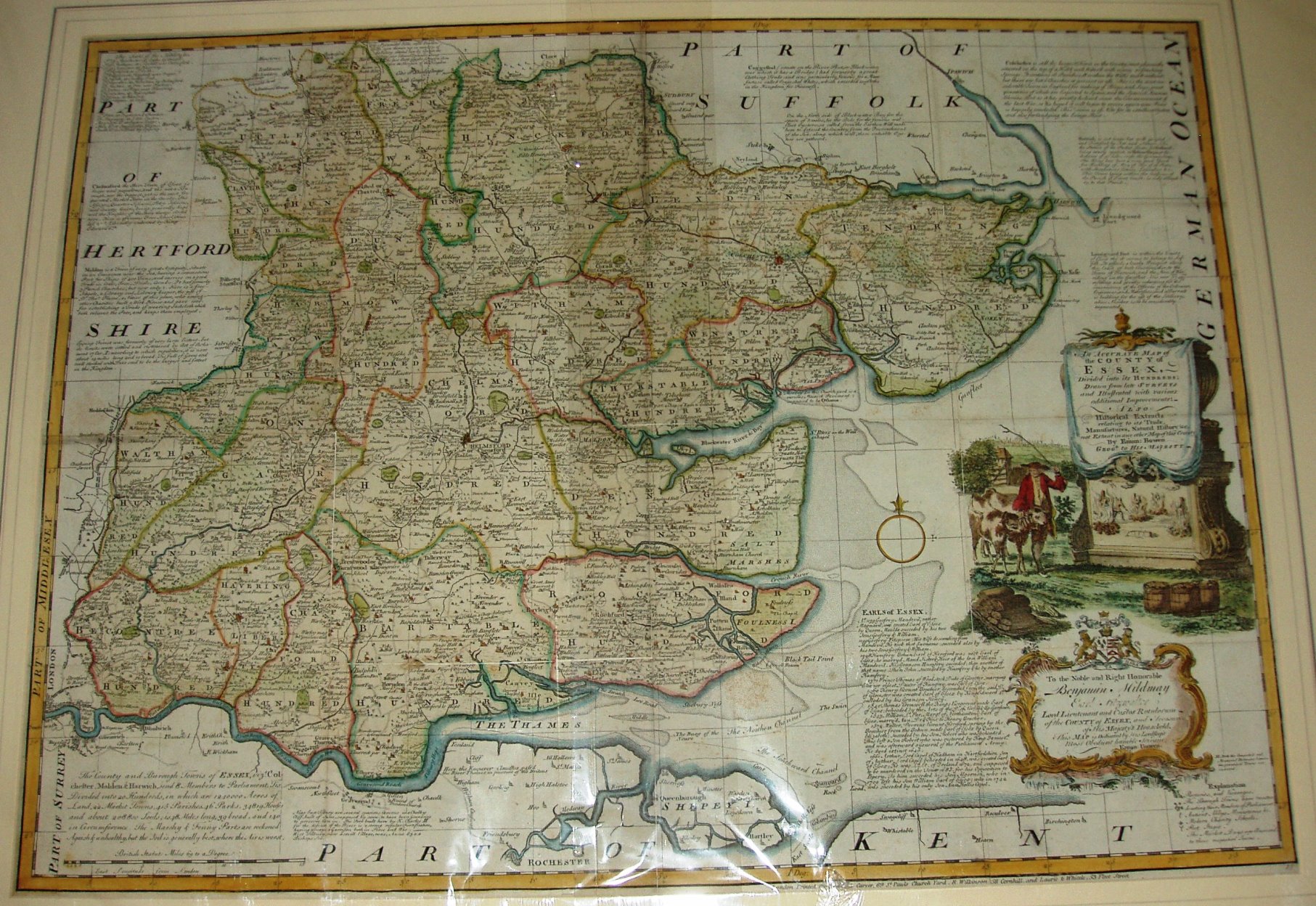
The Large English Atlas
First issed as a part work from 1749 to 1760, these maps actively sought to use the genuinely latest surveys of individual counties, rather than re-hashing 17th century maps. Essex is based on Warburton for instance.
The Atlas was issued in 1760, and re-issued in 1762, 63, 64, 67, 79 & 87, and in 1794 as The English Atlas.
The maps formed the basis for all of Bowen's and Kitchin's subsequent atlases, such as The Royal Atlas, Atlas Anglicanus, England Illustrated & General Magazine. These "LEA" maps were sold within the Atlas, as individual sheets, and as individual sheets dissected and mounted on cloth which were then folded into a slip case.
Displayed scale of 15mls = 137.5mm, or 2.8 miles/inch; actual scale = 2.5 miles/inch, or 1:158,000.