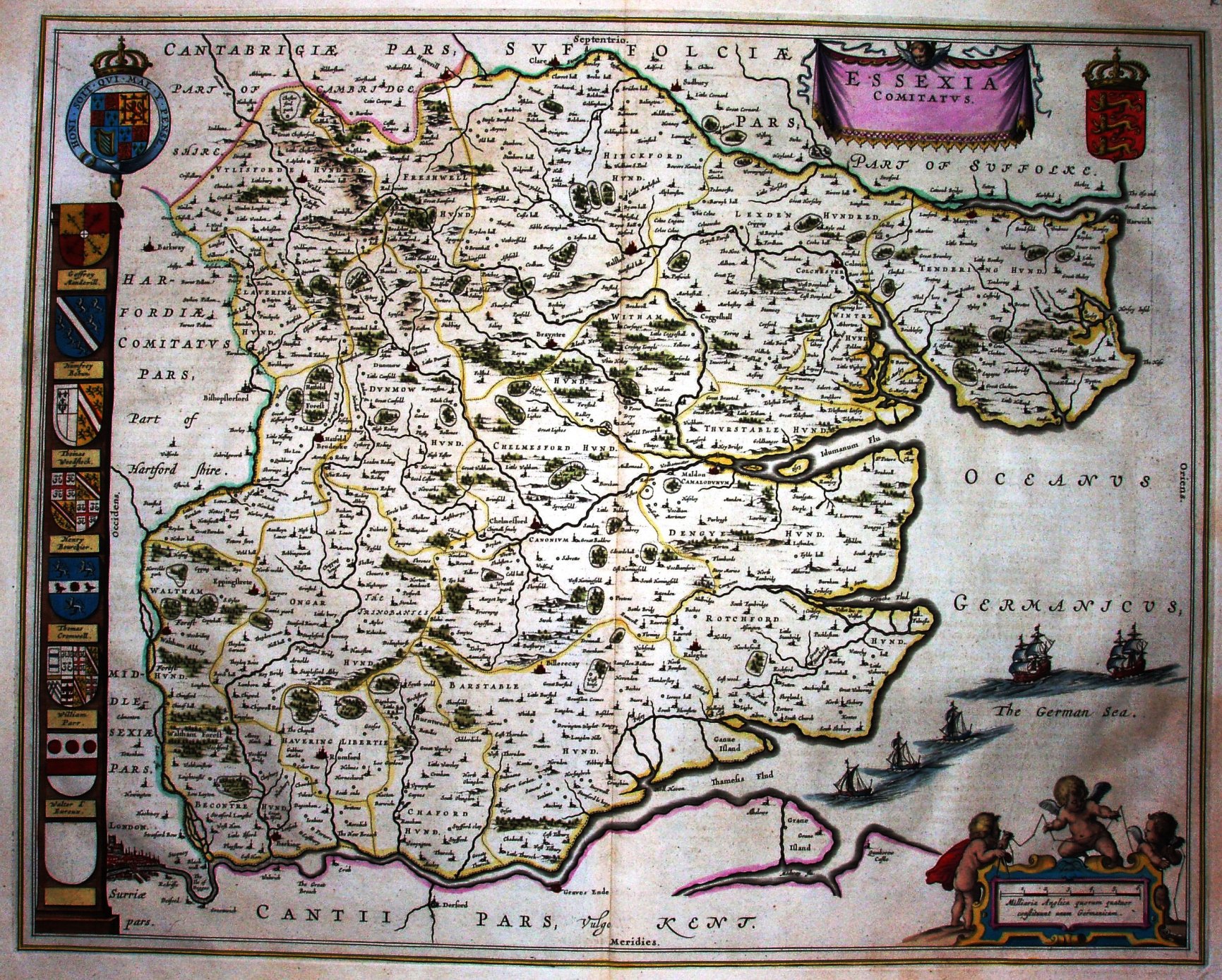
Atlas Novus
The map is based on Speed (which is based on Saxton, and hence this Blaue has the same errors as in Saxton).
Blaue's house was possibly the greatest one in the mid 17th century, with maps of the greatest clarity and style (the style of its day obviously).
Displayed scale of 6 miles = 62mm, or 2.5 miles/inch; scale actual = 3.2 miles/inch, or 1:205,000.
The Atlas was first published in 4 volumes (Britain being in Vol 4), and was printed in Latin, French, German, Dutch and Spanish from 1645 to 1662. This image is from the first French edition, 1645.