Atlas Novus
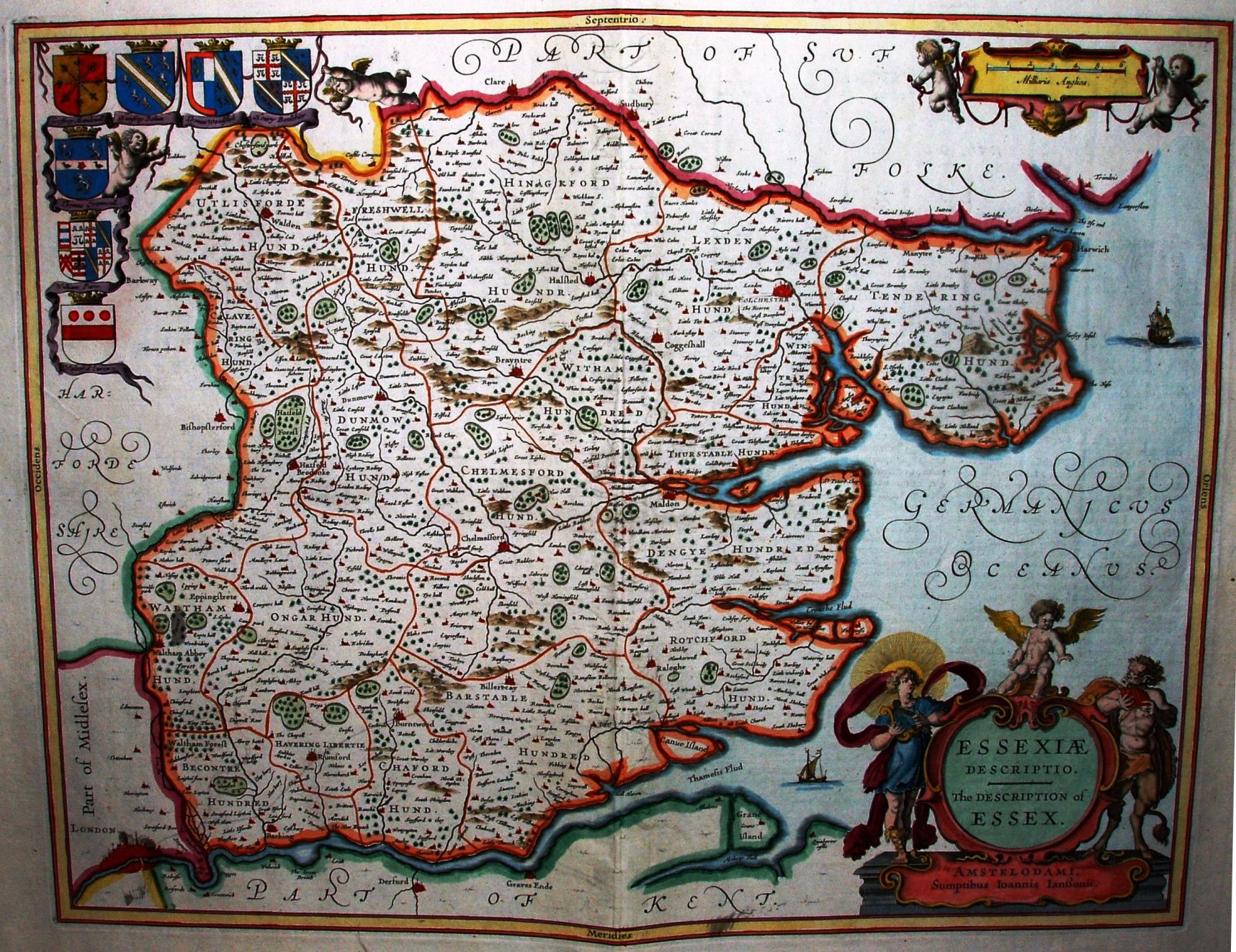
The map is that created by Jansson in 1636, but now with only a single scale bar and the addition of seven shields.
The Jansson house was a year later in creating its Atlas Novus than the competing Blaue one, but grew over the years from the initial 4 volumes to 11 volumes (the number differs by edition language - there were Latin, French, German and Dutch editions).
Displayed scale of 6 Miliaria Anglia = 56mm, or 2.7 miles/inch; scale actual = 3.6 miles/inch, or 1:230,000; his "mile" is about 1.33 statute miles.
The map is based on Speed, which is based on Saxton - and hence this Jansson has the same errors as in Saxton, including his "long" miles. The text on here is even more florid than the Blaue. This image is from the first Latin edition, 1646. The map will be re-issued by Schenk & Valk in 1683.