- Home
- Introduction
- Mapmakers
- County Maps
- Map publishers
- Road Maps
- Dealers
- Libs & Socs
- Cartobibliogs
- Books
- Dating maps
- Parliamentary
- Railways
- Sundry
- Revisions

Whilst the equator is an objective line of latitude derived from the rotation of the earth, there is no objective line of longitude - all longitudes and the prime meridian (ie the line of longitude you chose to be at 0o) are a man-made decision. There was thus plenty of scope for disagreements, and for a time each country chose its own.
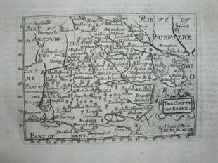
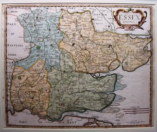
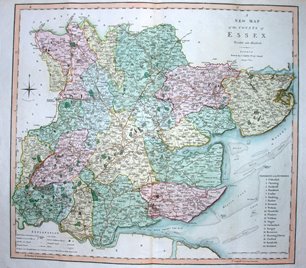
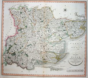
The small scale maps of the continents or countries generally had latitudes and longitudes, but county maps were slower to adopt these. Listed below are the first county maps appearing in atlases that had latitudes and longitudes, starting with the Azores, and then London St Paul's and London Greenwich.
The Azores were chosen by both Mercator and Ortelius - the great Dutch cartographers of the last 16th century - for their atlases (Mercator having earlier used the Canary Islands) as a) it was believed that Magnetic north was the same as True north there, and b) all longitudes for Europe could then be expressed as positive numbers East. It was later realised that the Magnetic north pole moves around, and hence Magnetic north changes at any one point. Meanwhile, nationalist concerns gave rise to countries, or individual map makers, using Paris, Rome, Amsterdam, Washington and other places from early in the 17th century to the late 19th century.
Finally an International Congress in Washington in 1882 ratified Greenwich as defining the Prime Meridian - helped by having the majority of international charts already using that, as they had been constructed by the Royal Navy.
The Azores are now known to be at 25o 41' west (& the Canaries at 16o 38' west) from Greenwich - very different from that used on the Mercator and Orteliues maps, showing the sheer difficulty of measuring longitudes back then, especially over oceans.
The dimensions against each map are Height x Width. The measurements are of the outermost neat line of the map (not the size of the sheet of paper).
Return to the page of various topics.