Philips' Handy Atlas of the Counties of England
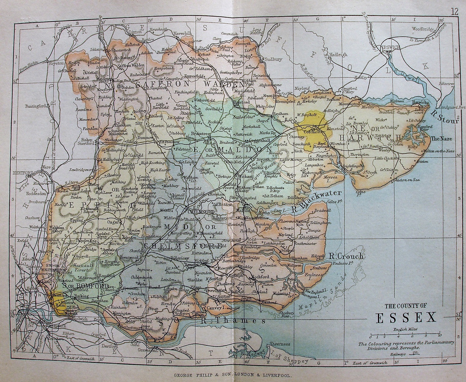
The same map as in 1890, albeit with different colouring. Also changed is the footer - we now get a bold, centred and large statement: George Philip & Son: London & Liverpool
Scale correct at 10 miles = 30.5mm, or 8.4 miles/inch, ie 1:530,000.
Date taken from the atlas's publication date.
The Wickford lines to Southend, Maldon West and Southminster are all shown (opened 1889), but not the Grays to Upminster (opened 1892).