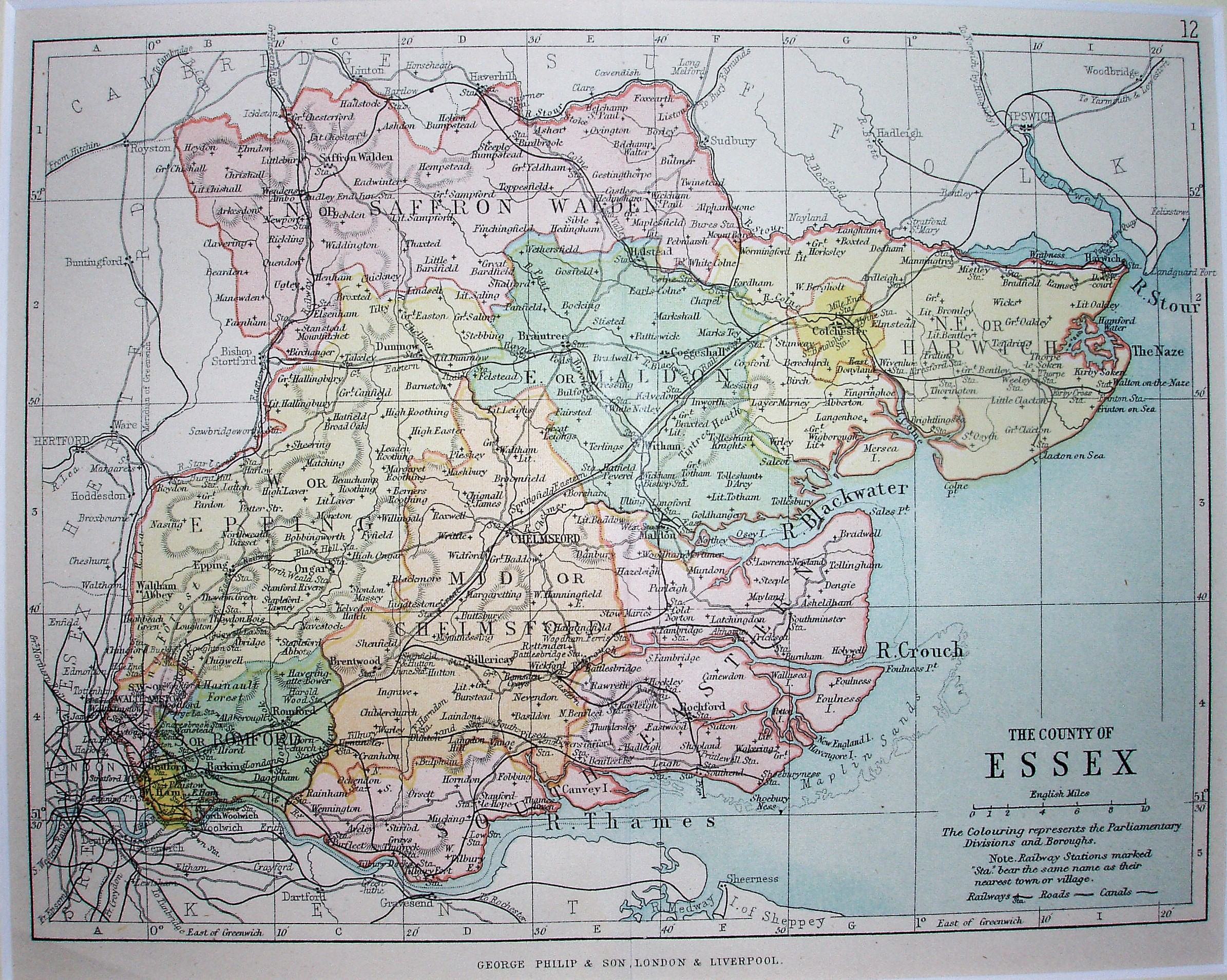
Philips' Handy Atlas of the Counties of England
An updated version of the 1886 Philips map. The Handy Atlas was published almost annually from 1866 to about 1908, when it changed name to the Handy Administrative Atlas. Other examples of this map are 1873, 1882, 1886 and 1890
Scale correct at 10 miles = 30.5mm, or 8.4 miles/inch, ie 1:530,000.
The railway is shown as from Forest Gate to Tottenham (opened 1894).