Barnett's Map of Essex
Blue cover, 6 Maps in 1, for One Shilling. Has no adverts for Barnett's Maps, but back cover has advert for Reynold's Ford Service. On the back are maps of 4 towns - Souhend, Grays-Thurrock, Safron Walden and Bunham, plus distances from London.
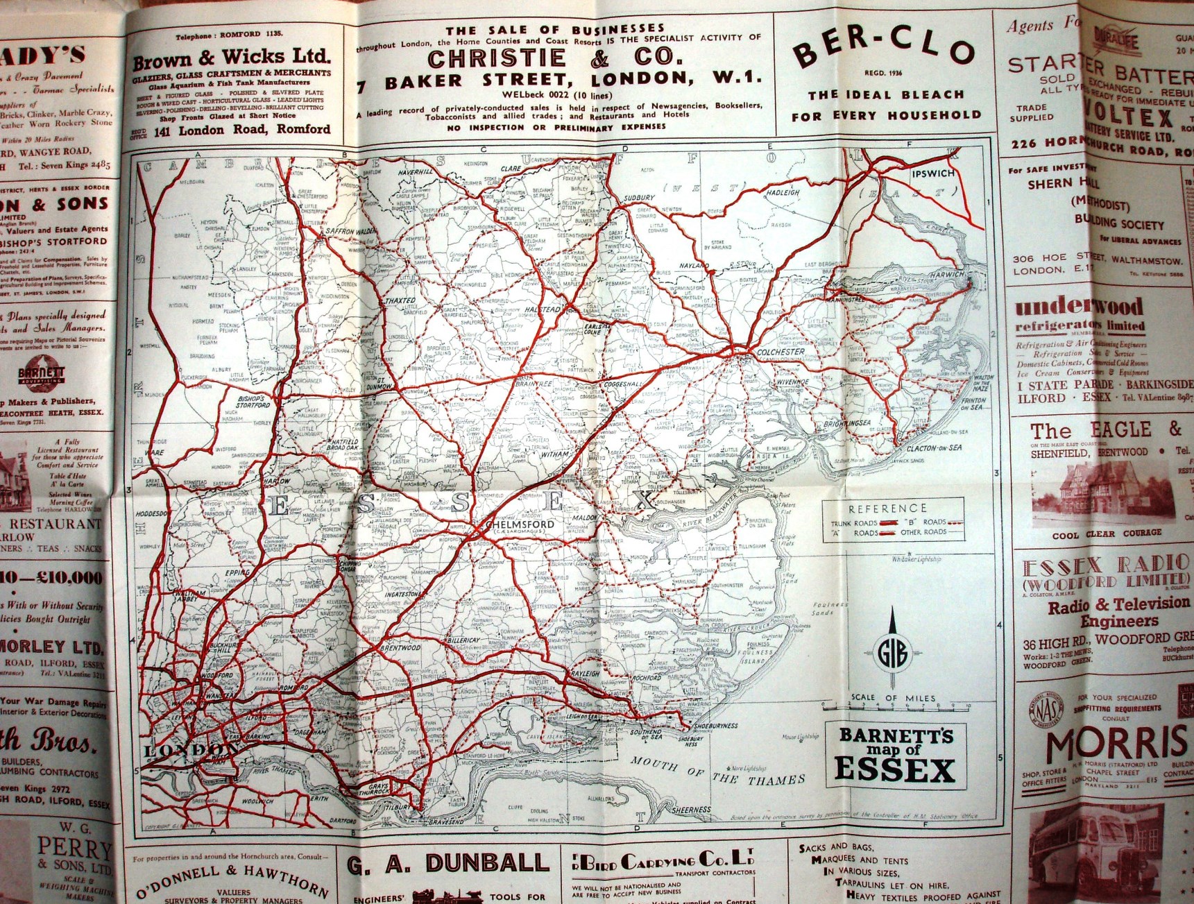
Lettered columns columns and numbered rows form a grid, but there is no Index. Copyright GI Barnett. Based on the ordnance survey (sic!) by the permission of the Controllerv of HM Stationery Office.
Many adverts surround the main map - which is how it is a smaller scale despite being a larger sheet of paper.
Scale correct at 10 miles = 74.5mm, or 3.4 miles/inch, ie 1:215,000.
Trunk roads in thick cased red, A roads in cased red, B roads in cased dashed red, and double black lines for Other roads. Shows railway line to Tollesbury Pier (swept away by floods in 1953); shows no railways in Kent at all.
Address is 19 Temple Avenue, Beacontree Heath, Essex, Tel: Sun Kings 7731. I assume this map to be 1/3 from 1951 (when founded) to datable 1963 map - hence 1955.