
The dimensions against each cover and each map are Height x Width; for the maps, the measurements are of the outermost neat line of the map (not the size of the sheet of paper).
Popular Pocket Edition Map of Essex
1951
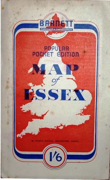
186 x 116mm for 405 x 520mm
Barnett's Map of Essex
1955
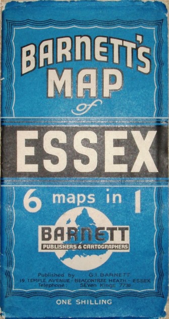
267 x 140mm for 350 x 448mm
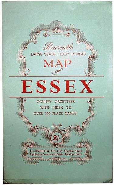
Barnett's Map of Essex
1959
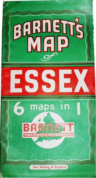
267 x 140mm for 405 x 517mm
Large Scale Easy to Read Map
of Essex, 1963
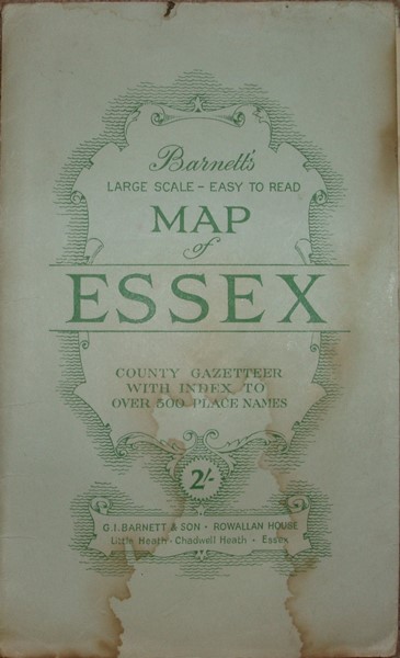
228 x 138mm for 407 x 515mm
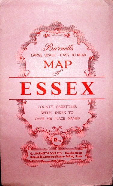
Large Scale Easy to Read Map
of Essex, 1967
229 x 139mm for 400 x 521mm
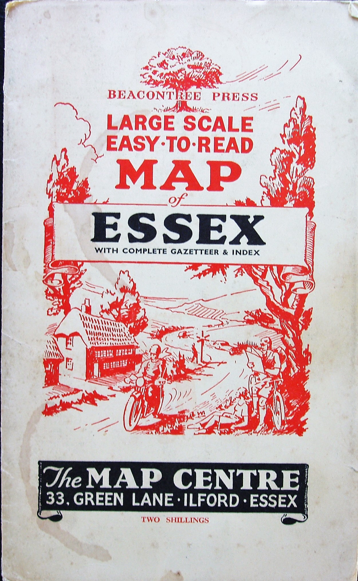
Large Scale Easy to Read Map
of Essex, 1970
233 x 142mm for 397 x 519mm
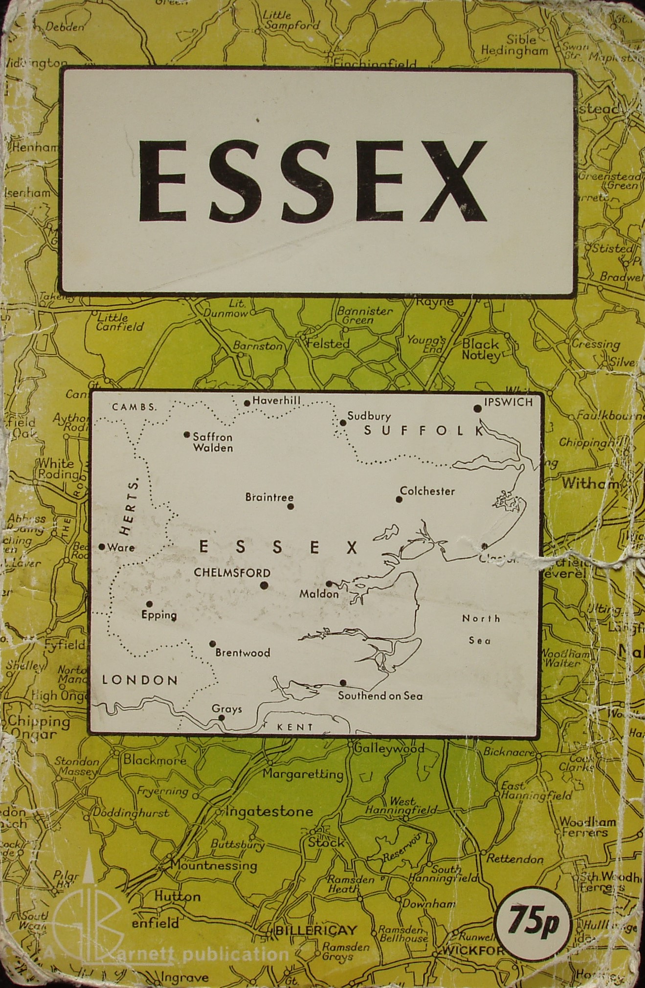
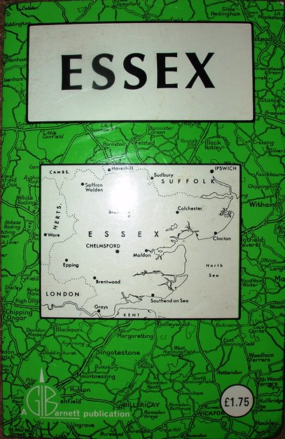
Essex
1979
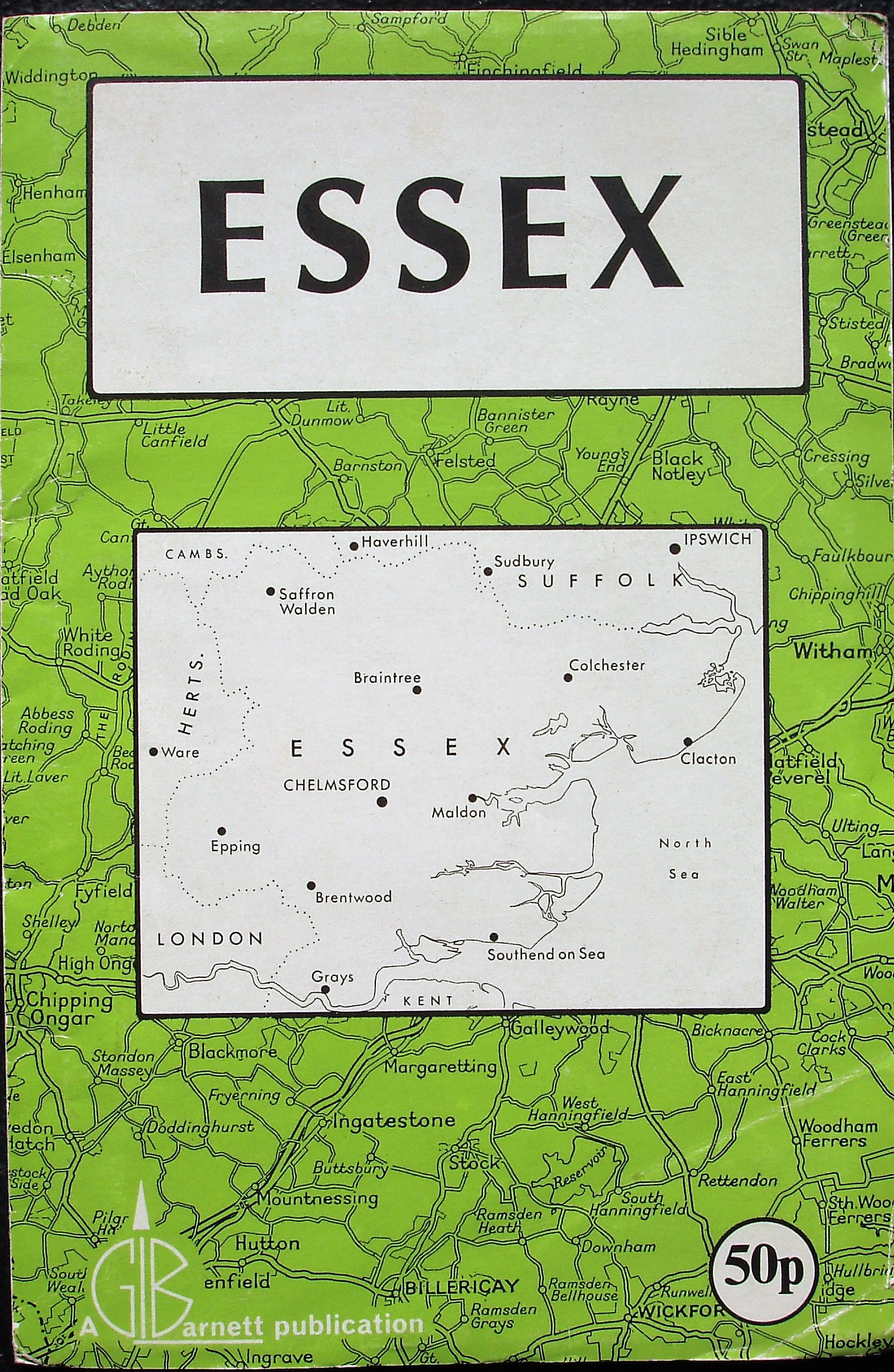
216 x 141mm for 446 x 583mm
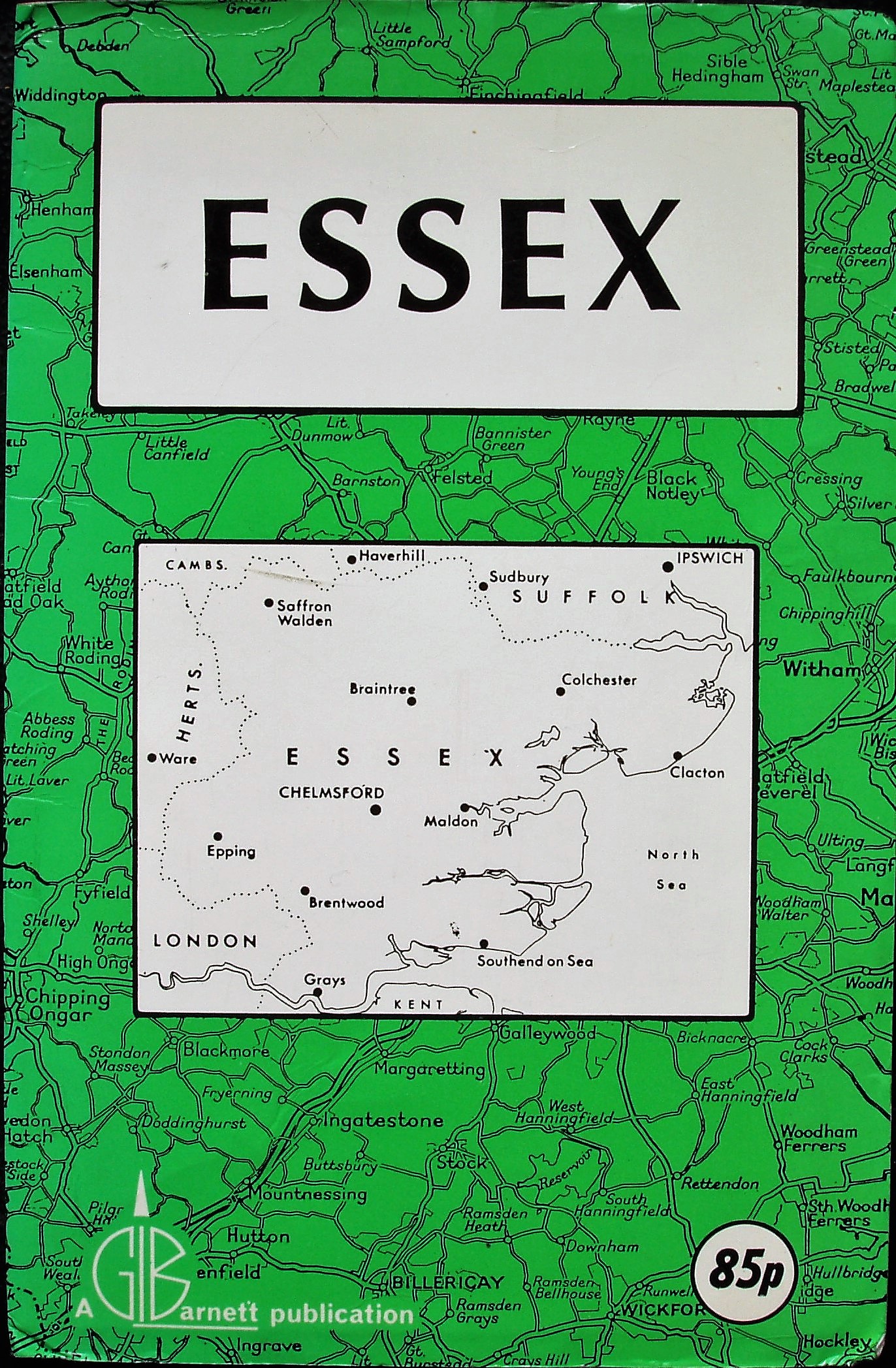
Essex
1981
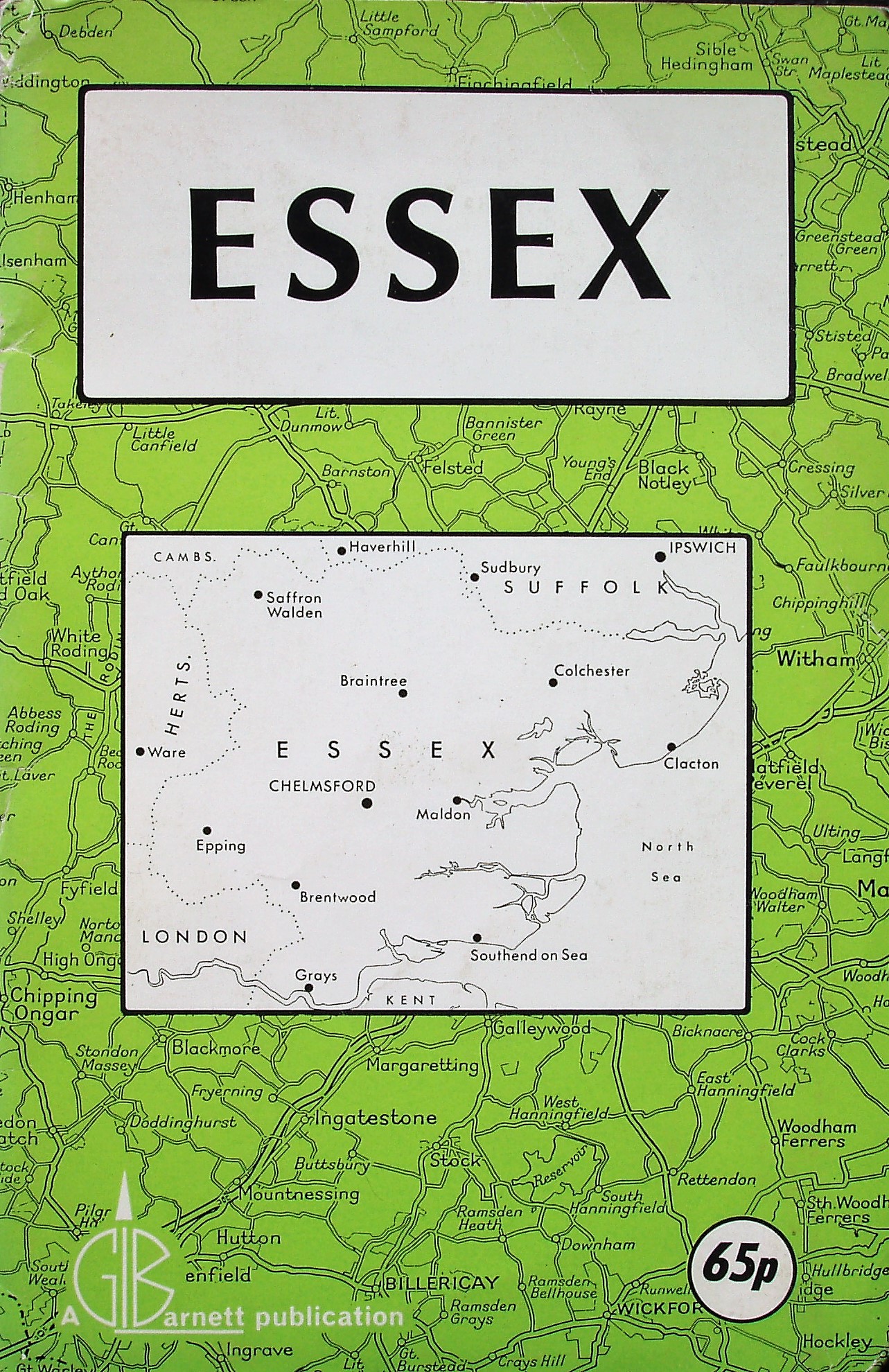
222 x 144mm for 446 x 583mm
Essex
1983
221 x 145mm for 446 x 583mm
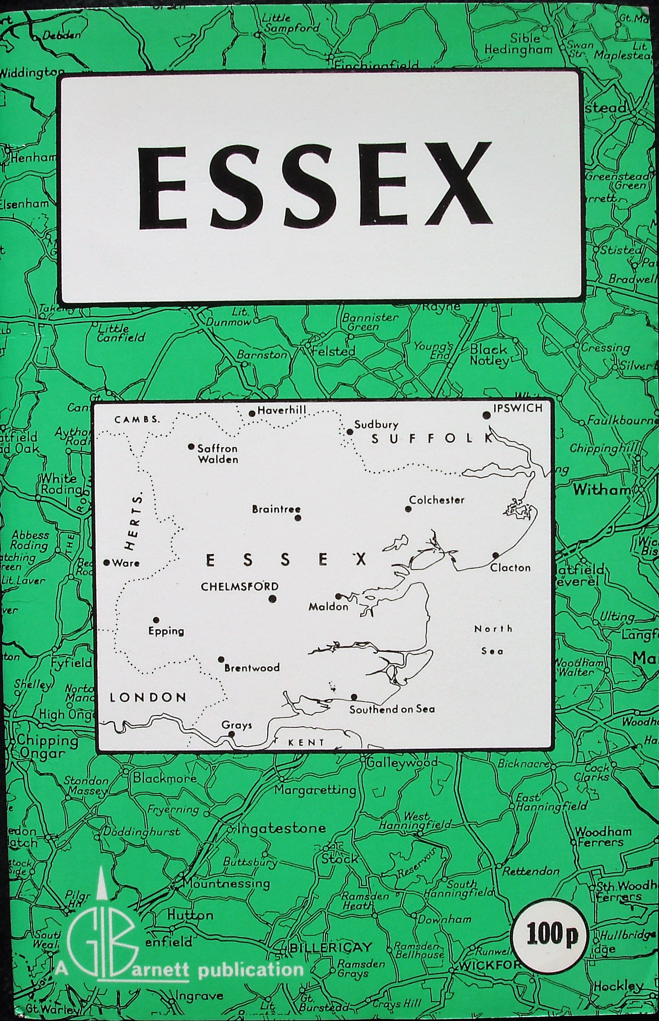
Essex
1984
221 x 143mm for 446 x 583mm
Essex
1985

222 x 143mm for 447 x 584mm
Essex
1987
222 x 143mm for 447 x 584mm
Essex
1989
221 x 143mm for 446 x 583mm
Essex
1991
221 x 142mm for 448 x 584mm
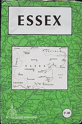
Essex
2003
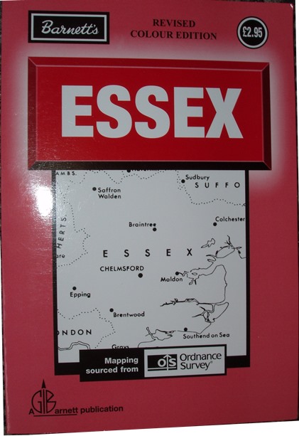
216 x 148mm for 430 x 560mm
Large Scale Easy to Read
Map of Essex, 1951
![]()
189 x 120mm for 410 x 520mm
Large Scale Easy to Read
Map of Essex, c1956
230 x 140mm for 405 x 520mm
Saffron Walden & North West Essex
1951
![]()
188 x 120mm for 458 x 417mm
These Street Atlases are included as they include copies of Barnett's county maps as well - the same maps as are described above.
(The maps aren't shown for these atlases.)
ABC Atlas of Essex, 1952
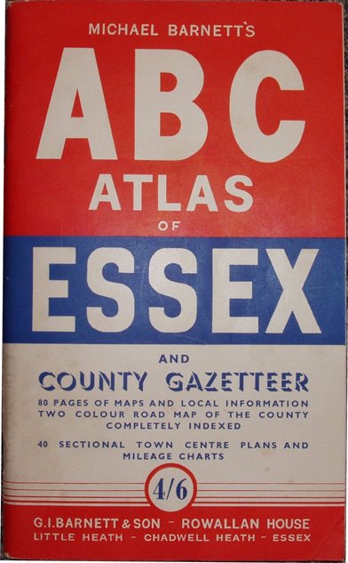
229 x 139mm cover, 40 sectional
town plans and mileage sheets. 80
pages of maps of tours, etc, plus a
county map, as used 1951 to 1959.
Saffron Walden pop = 7,240 -> 1952.
ABC Atlas of Essex, 1958
229 x 139mm cover, 70 town plans/
road maps/mileage sheets. 112 pages
of maps of tours, etc, plus a county map,
as used 1951 to 1959.
Saffron Walden pop = 7,430 -> 1958.
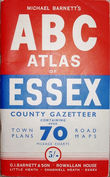
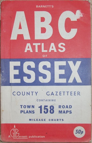
ABC Atlas of Essex, 1959
230 x 140mm cover, 100 town plans/
road maps/mileage sheets. 160 pages
of maps of tours, etc, plus a county map,
as used 1951 to 1959.
Saffron Walden pop = 7,550 -> 1959.
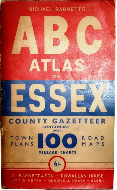
ABC Atlas of Essex, 1963
224 x 141mm cover, 145 town plans/
road maps/mileage sheets. 208 pages
of maps of tours, etc, plus a 1963 county map.
Saffron Walden pop = 8,350 -> 1963.
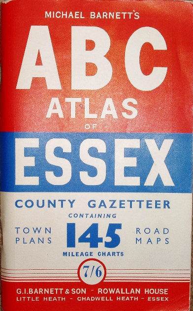
ABC Atlas of Essex, 1967
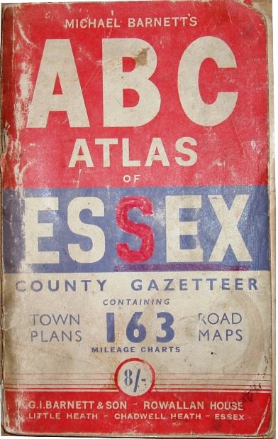
224 x 141mm cover, 163 town plans/
road maps/mileage sheets. 208 pages
of maps of tours, etc, plus a 1967 county map.
Saffron Walden pop = 9,140 -> 1967.
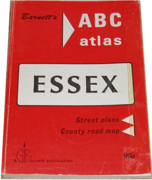
ABC Atlas of Essex, 1970
228 x 147mm cover, 158 town plans/
road maps/mileage sheets. 208 pages
of maps of tours, etc, plus a 1970 county
map.
Saffron Walden pop = 10,050 -> 1970.
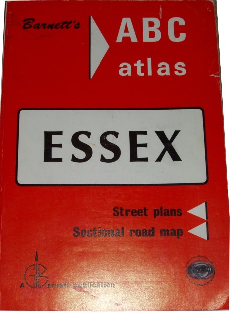
ABC Atlas of Essex, 1976
217 x 150mm cover, 208 pages of maps
of towns, etc, with many adverts, plus a
county map that has M11 present J7 to
J8 (opened 1975) and planned J8 to J9
(1979) and J4 to J7 (1977).
Index no longer has populations, so
dated from M11.
ABC Atlas of Essex, 1978
215 x 150mm cover, 224 pages of maps
of towns, etc, with many adverts, plus
poor county map split over several pages.
M11 open J4 to J8 (opened 1979), but not
from J8 northwards (1979).
Index no longer has populations, so
dated from M11.
Addresses:
1951: The Map Centre, 33 Green Lane, Ilford (The initial shop that the publishing business grew from?)
1951: 19 Temple Avenue, Beacontree Heath
mid-1950s - c1969: Rowallan House, Little Heath, Chadwell Heath (Home of Michael Barnett; suffered a major fire in 1958)
c1969 onwards: Rippleside Commercial Estate, Barking
Return to the Map publishers main page.