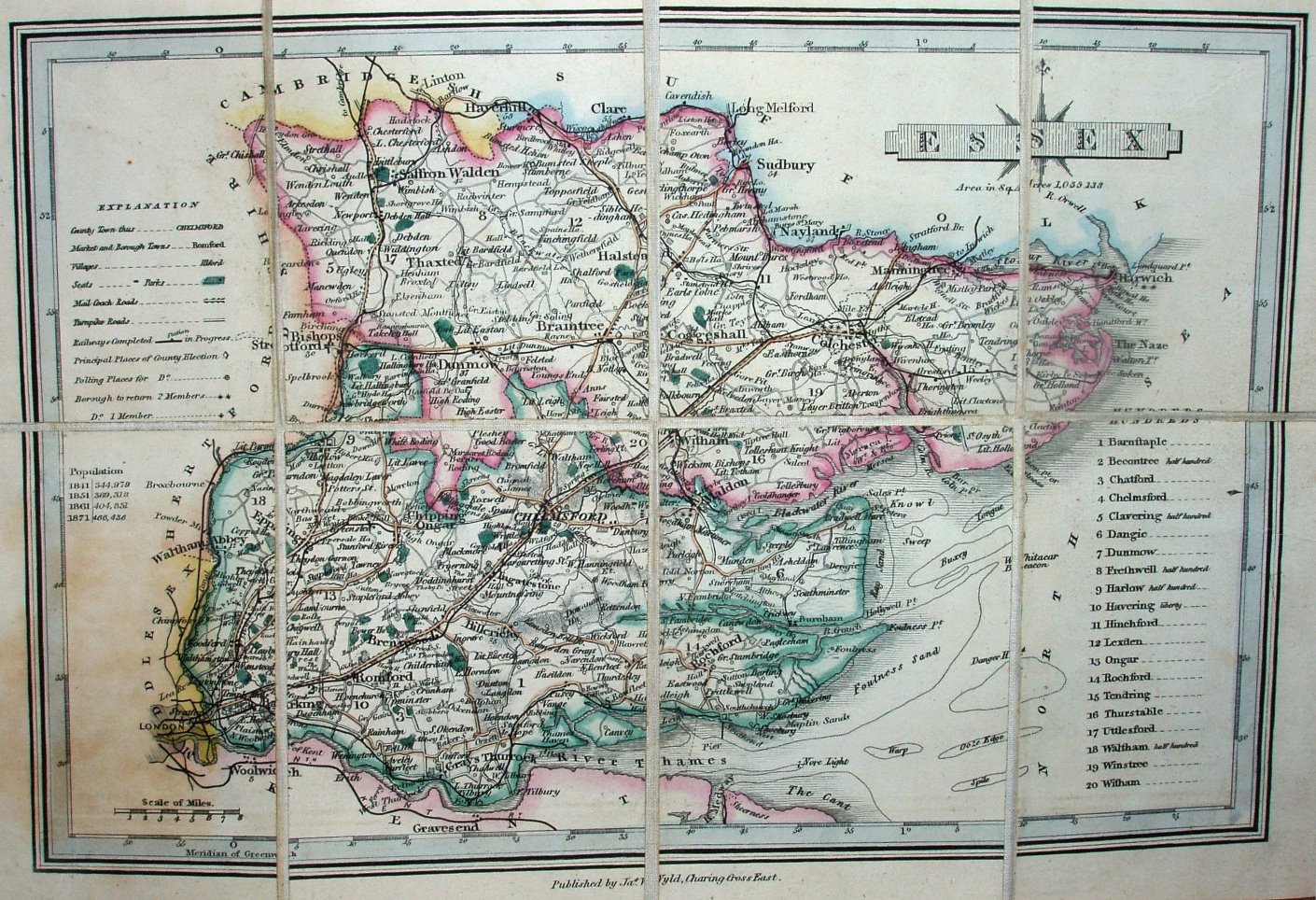
A Map of Essex
Dissected on card, in dark green leather folder. Published by James Wyld, Charing Cross East. It's the Wallis/Ellis map of 1813, whose maps were reissued in Wallis's New British Atlas (1813), in Wallis's Second and Superior British Atlas (1813, reissued 1814 and 1816), in Ellis's 1819 New and Correct Atlas of England & Wales (reissued 1822), and finally copied by lithographic transfer for Wyld's Atlas of English Counties (1842, with reissues up to 1872). The map has been updated with railways and population figures for 1841 to 1871.
Scale correct at 8 miles = 27mm, or 7.5 miles/inch, ie 1:475,000.
Walthamstow branch just about shown (a "manual" addition?) that opened in 1870, but not Walthamstow to Bethnal Green or North Woolwich to Beckton (both opened 1872) - but the census population for 1871 is included.