Wallis's New British Atlas
"London published by SA Oddy 1813." "Engraved by J Ellis.".
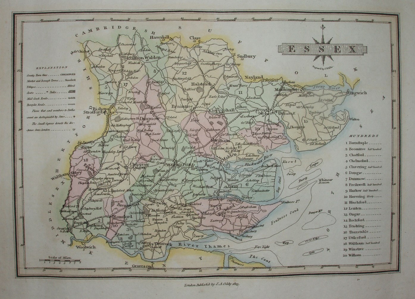
Displayed scale of 8 miles = 27mm, or 7.5 miles/inch; actual scale 7.9 miles/inch, or 1:500,000.
Wallis published his A New and Improved County Atlas in 1812, although the maps are dated 1813. The maps were reissued in Wallis's New British Atlas (1813), in Wallis's Second and Superior British Atlas (1813, reissued 1814 and 1816), in Ellis's 1819 New and Correct Atlas of England & Wales (reissued 1822), and finally in Wyld's Atlas of English Counties (1842, with reissues up to 1872).